Muxerath
29 heritage sites in Muxerath in the Kulturdatenbank Region Trier.
The map shows all 29 results.
-
Ehemaliger Kalkofen
Economy, Trade and Transport Lime Kilns ID 35151
-
Oberm Kalkofen
Field Names ID 36300
-
Ortsgeschichte Friesborner Hof
Place Names / Local History ID 10296
-
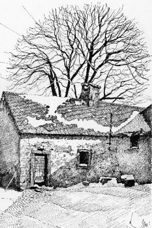
Alte Schmiede
Economy, Trade and Transport Extraction and Processing of Raw Materials ID 7213
-
Auf Dellenborn
Field Names ID 31587
-
Auf Riesborn
Field Names ID 31609
-
Auf Schellerspesch
Field Names ID 27328
-
Auf dem Rothenbusch
Field Names ID 43626
-
Auf der Gleicht
Field Names ID 55131
-
Aufm Katzenborn
Field Names ID 31595
-
Erste Erwähnung als Motzerait
Place Names / Local History ID 7255
-
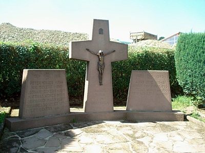
Friedhofskreuz und Kriegerehrenmal
Katholische Filialkirche Sankt Donatus
Markers and Monuments Wayside Shrines and Stations of the Cross ID 52713
-
Im Bitschelborn
Field Names ID 31599
-
Im Dellenborn
Field Names ID 31588
-
Im Frauenborn
Field Names ID 31607
-
Im Katzenborn
Field Names ID 31604
-
Im Riesborn
Field Names ID 31611
-
Im Rothenbüsch
Field Names ID 43634
-
Im Winkel
Field Names ID 39847
-
Im Winkel
Field Names ID 39850
-
In Nostromsdell
Field Names ID 45501
-
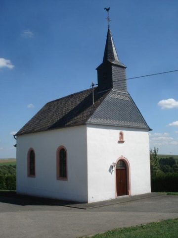
Katholische Filialkirche Sankt Donatus
Religious Buildings Churches ID 7267
-
Kreuzwegstationen in Sankt Donatus
Katholische Filialkirche Sankt Donatus
Religious Buildings Wayside Shrines and Stations of the Cross ID 52714
-
Mühleheld
Field Names ID 40076
-
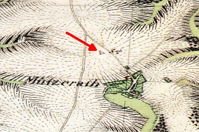
Tranchot-Dreieckspunkt Muxerather Höhe
Markers and Monuments Surveying ID 19535
-
Trigonometrisches Signal Muxerather Höhe
Markers and Monuments Surveying ID 44583
-
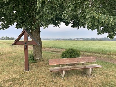
Wegekreuz
Religious Buildings Wayside Shrines and Stations of the Cross ID 32510
-
Zeimensdell
Field Names ID 45734
-
Ortsgeschichte Steinshof
Place Names / Local History ID 10297