Extraction and Processing of Raw Materials · Undated
Alte Schmiede

Classification
- Subject area
- Architectural and Art Monuments
- Category
- Economy, Trade and Transport
- Object type
- Extraction and Processing of Raw Materials
- Date
- Undatiert
- Period
- Undated
Location
- District
- Eifelkreis Bitburg-Prüm
- Collective municipality
- Südeifel
- Municipality
- Muxerath
- Field name
- Ortslage
- Coordinates
- WGS 84: 49.991651, 6.269523 (Position: within the village) WGS 84: 49° 59′ 29.9″ N, 6° 16′ 10.3″ E UTM 32 (ETRS89): E 304294 · N 5541276
Sources
Data sources
- Margraff: Kirchen, Burgen, Bauernhäuser. Verlag der Akademischen Buchhandlung Interbook Trier, 1986
On the internet
de.wikipedia.org/wiki/Muxerath
Picture credits
- Picture 1: © Margraff: Kirchen, Burgen, Bauernhäuser. Verlag der Akademischen Buchhandlung Interbook Trier, 1986
Last edited: 7 Oct 2003 Object ID: 7213
https://kulturdb.de/en/objekt/7213-muxerath-alte-schmiede
Nearby
The nearest objects
No picture
less than 10 m
Place Names / Local History
Erste Erwähnung als Motzerait
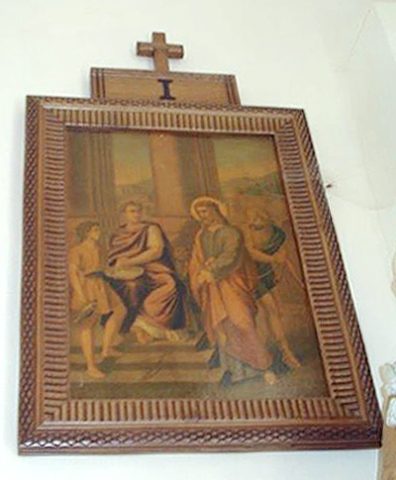 110 m
Wayside Shrines and Stations of the Cross
Kreuzwegstationen in Sankt Donatus
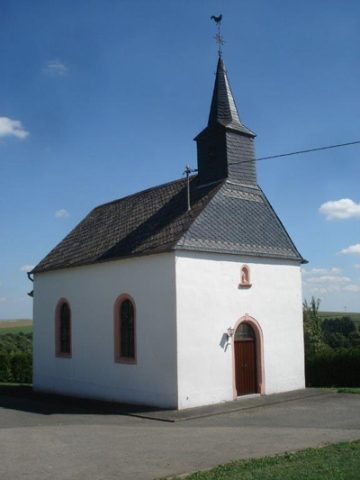 110 m
Churches
Katholische Filialkirche Sankt Donatus
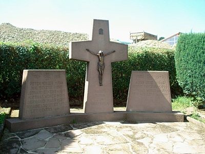 120 m
Wayside Shrines and Stations of the Cross
Friedhofskreuz und Kriegerehrenmal
No picture
230 m
Field Names
Auf der Gleicht
No picture
290 m
Field Names
Auf Schellerspesch
No picture
370 m
Surveying
Trigonometrisches Signal Muxerather Höhe
No picture
550 m
Field Names