Place Names / Local History · Renaissance
Erste Erwähnung als Motzerait


© GeoBasis-DE / LVermGeoRP, dl-de/by-2-0
There is no picture of this object yet. Do you have a photo that you would like to make available to the Kulturdatenbank? Submit a picture
Description
This description is only available in German.
Translate with Google opens this page in Google Translate (external service)
Im Jahre 1501 wurde der Ort als Motzerait, 1640 als Mutzerom erwähnt und gehörte bis 1794/95 zur Herrschaft Neuerburg. Muxerath ist Filialort der Pfarrei Neuerburg.
Classification
- Subject area
- History
- Category
- Place Names / Local History
- Date
- 1501
- Period
- Renaissance
Location
- District
- Eifelkreis Bitburg-Prüm
- Collective municipality
- Südeifel
- Municipality
- Muxerath
- Field name
- Ortslage
- Coordinates
- WGS 84: 49.991651, 6.269523 (Position: within the village) WGS 84: 49° 59′ 29.9″ N, 6° 16′ 10.3″ E UTM 32 (ETRS89): E 304294 · N 5541276
Sources
Data sources
- Homepage der Verbandsgemeinde Neuerburg http://www.vg-neuerburg.de/
On the internet
Last edited: 7 Oct 2003 Object ID: 7255
https://kulturdb.de/en/objekt/7255-muxerath-erste-erwaehnung-als-motzerait
Nearby
The nearest objects
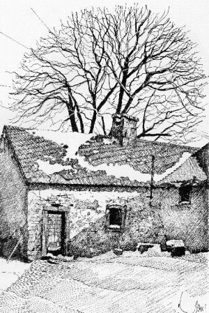 less than 10 m
Extraction and Processing of Raw Materials
Alte Schmiede
 110 m
Wayside Shrines and Stations of the Cross
Kreuzwegstationen in Sankt Donatus
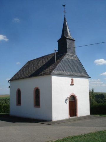 110 m
Churches
Katholische Filialkirche Sankt Donatus
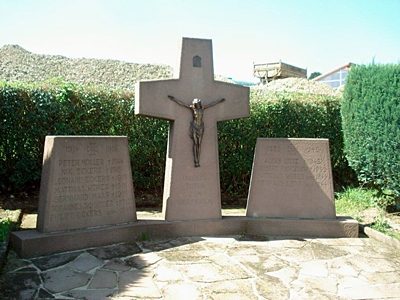 120 m
Wayside Shrines and Stations of the Cross
Friedhofskreuz und Kriegerehrenmal
Field Names
Auf der Gleicht
Field Names
Auf Schellerspesch
Surveying
Trigonometrisches Signal Muxerather Höhe
Field Names