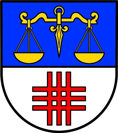
Rockeskyll
67 heritage sites in Rockeskyll in the Kulturdatenbank Region Trier.
The map shows all 67 results.
-
Mühlsteinbruch Am Köpfchen
Economy, Trade and Transport Extraction and Processing of Raw Materials ID 24199
-
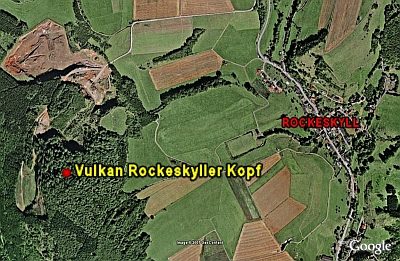
Mühlsteinbruch am Rockeskyller Kopf
Economy, Trade and Transport Extraction and Processing of Raw Materials ID 24147
-
Ortsgeschichte Rockeskyll
Place Names / Local History ID 1589
-
Palgonittuffe zwischen Rockeskyll und Essingen
Geological Features Volcanoes ID 30224
-
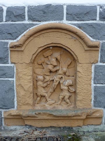
Reliefbilder der Kreuzwegstationen (1)
Religious Buildings Wayside Shrines and Stations of the Cross ID 17847
-
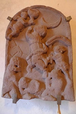
Reliefbilder der Kreuzwegstationen (2)
In der Eingangshalle des alten Kirchturms
Religious Buildings Wayside Shrines and Stations of the Cross ID 17848
-
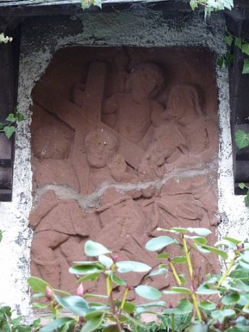
Reliefbilder der Kreuzwegstationen (3)
Außenwand von Sankt Bartholomäus
Religious Buildings Wayside Shrines and Stations of the Cross ID 17849
-
Tommelter Kreuz
Religious Buildings Wayside Shrines and Stations of the Cross ID 17614
-
Trierer Haus
Residential and Farm Buildings Farmhouses and Farm Buildings ID 16589
-
Trierer Haus
Residential and Farm Buildings Farmhouses and Farm Buildings ID 16591
-
Verloren gegangenes Hansenkreuz
Religious Buildings Wayside Shrines and Stations of the Cross ID 17618
-
Vulkan Köpfchen
Geological Features Volcanoes ID 30222
-
Vulkan Pferdskopf
Geological Features Volcanoes ID 30197
-
Wappen der Gemeinde Rockeskyll
Coats of Arms ID 1590
-
Wohnhaus
Residential and Farm Buildings Farmhouses and Farm Buildings ID 16621