Volcanoes · Undated
Vulkan Gyppenberg
Naturdenkmal
- Listed monument


Description
This description is only available in German.
Translate with Google opens this page in Google Translate (external service)
Früher: Gippenberg. 491,5 Meter über Normal-Null. [1]
Classification
- Subject area
- Natural Features
- Category
- Geological Features
- Object type
- Volcanoes
- Date
- Undatiert
- Period
- Undated
Location
- District
- Vulkaneifel
- Collective municipality
- Gerolstein
- Municipality
- Rockeskyll
- Field name
- An Gyppenberg
- Coordinates
- WGS 84: 50.251737, 6.703406 (Position: exact) WGS 84: 50° 15′ 06.3″ N, 6° 42′ 12.3″ E UTM 32 (ETRS89): E 336279 · N 5569144
Sources
Data sources
- [1] Peter Joseph Busch: Naturdenkmale-Ein Heimatbuch des Trierer Raumes. Verlag Aurel Bongers, Recklinghausen. 1952.
On the internet
Picture credits
Last edited: 7 Oct 2003 Object ID: 6642
https://kulturdb.de/en/objekt/6642-rockeskyll-vulkan-gyppenberg
Nearby
The nearest objects
No picture
420 m
Field Names
In Ossenrath
No picture
460 m
Rectories
Ehemaliges Pfarrhaus
No picture
480 m
Field Names
Im Preiswinkel
No picture
490 m
Wayside Shrines and Stations of the Cross
Essinger Flurkreuz
No picture
500 m
Volcanoes
Palgonittuffe zwischen Rockeskyll und Essingen
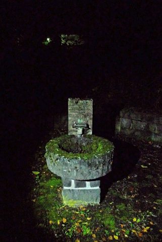 520 m
Mineral Springs
Mineralquelle
No picture
560 m
Christian Cemeteries
Kirchhof
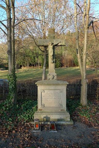 590 m
War Memorials