Trier
5,889 heritage sites in Trier in the Kulturdatenbank Region Trier.
The map shows all 5,889 results.
-
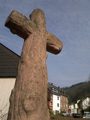
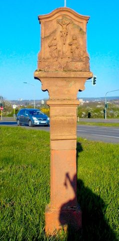
Schaftkreuz
Religious Buildings Wayside Shrines and Stations of the Cross ID 25842
-
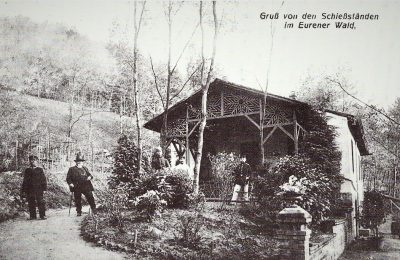
Schießstand
Recreation and Sports Facilities Shooting Ranges ID 34736
-
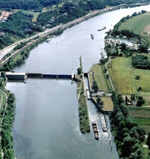
Schleuse
Engineering Structures and Industrial Sites Shipping ID 2804
-
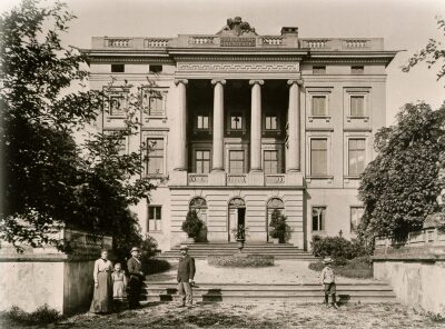
Schloss Monaise (1)
Residential and Farm Buildings Manorial Residences and Estate Buildings ID 8869
-
Schloss Monaise (2)
Residential and Farm Buildings Manorial Residences and Estate Buildings ID 41
-
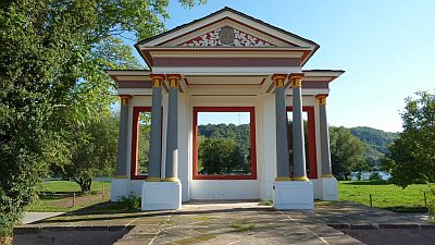
Schloss Monaise - Gloriette
Denkmalzone Schloss Monaise
Parks, Gardens and Cemeteries Palace Gardens ID 34815
-
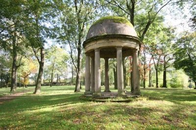
Schloss Monaise - Monopterus
Denkmalzone Schloss Monaise
Parks, Gardens and Cemeteries Palace Gardens ID 34816
-
Schultesgrub
Field Names ID 34669
-
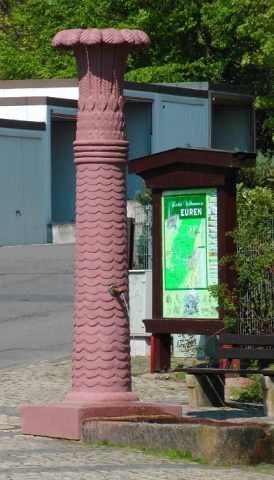
Sogenannter Helenabrunnen
Fountains and Wells Works of Art ID 15312
-
Sogenanntes Galgenkreuz
Religious Buildings Wayside Shrines and Stations of the Cross ID 49353
-
Sogenanntes Zingenkreuz
Religious Buildings Wayside Shrines and Stations of the Cross ID 22834
-
Spätrömisches/Merowingisches Gräberfeld
Burials Burial Mounds ID 10954
-
Stolperstein für Erna Lamberti
Markers and Monuments Stolpersteine (Stumbling Stones) ID 28940
-
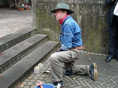
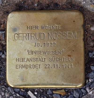
Stolperstein für Gertrud Nossem
Markers and Monuments Stolpersteine (Stumbling Stones) ID 51611
-
Stolperstein für Matthias Enser
Markers and Monuments Stolpersteine (Stumbling Stones) ID 28942
-
Stolperstein für Matthias Lamberti
Markers and Monuments Stolpersteine (Stumbling Stones) ID 28941
-
Streckhof
Residential and Farm Buildings Farmhouses and Farm Buildings ID 19588
-
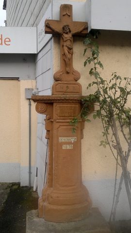
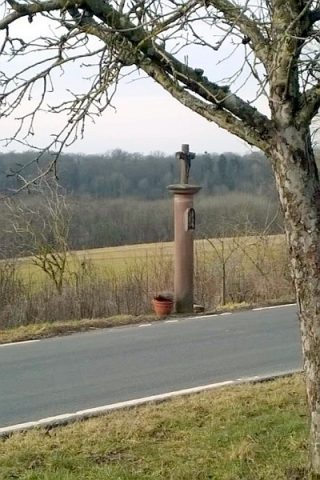
Säulenkreuz an der Herresthaler Straße
Religious Buildings Wayside Shrines and Stations of the Cross ID 25871
-
Talbildchen mit Kapelle
Religious Buildings Wayside Shrines and Stations of the Cross ID 49350
-
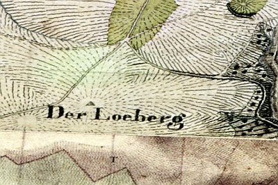
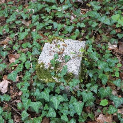
Tranchot-Dreieckspunkt Löberg
Markers and Monuments Surveying ID 42828
-
Trigonometrischer Punkt am Mohrenkopf
Markers and Monuments Surveying ID 50529
-
Udostraße
Place Names / Local History Street Names ID 50438
-
Unter der Landstraße beim Maar
Field Names ID 35722
-
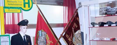
Verkehrsmuseum des Straßenbahnervereins
Educational Institutions Museums ID 22892
-
Vor Kircherberg
Field Names ID 46408
-
Vor Kircherberg
Field Names ID 46409
-
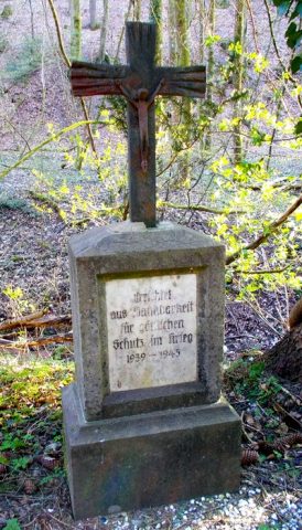
Votivkreuz
Religious Buildings Wayside Shrines and Stations of the Cross ID 49348
-
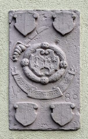
Wappenstein
Coats of Arms ID 25841
-
Wasserfall
Waterfalls ID 24007
-
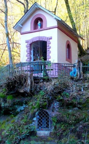
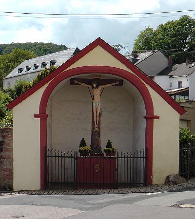
Wegekapelle
Religious Buildings Chapels ID 3424
-
Westwall - Bunker
Baustärke B1 oder stärker
Fortifications and Military Sites Fortresses and Bunkers ID 21988
-
Westwall - Bunker
Baustärke B1 oder stärker
Fortifications and Military Sites Fortresses and Bunkers ID 21991
-
Westwall - Bunker
Baustärke B1 oder stärker
Fortifications and Military Sites Fortresses and Bunkers ID 21994
-
Westwall - Bunker
Fortifications and Military Sites Fortresses and Bunkers ID 51886
-
Westwall - Bunker
Fortifications and Military Sites Fortresses and Bunkers ID 51887
-
Westwall - Gefechtsstand (Inf. Komp. führer)
Baustärke B1 oder stärker
Fortifications and Military Sites Fortresses and Bunkers ID 21995
-
Westwall - Gefechtsstand (Inf. Komp.führer)
Baustärke B1 oder stärker
Fortifications and Military Sites Fortresses and Bunkers ID 21992
-
Westwall - Munitionslager
Baustärke B1 oder stärker
Fortifications and Military Sites Fortresses and Bunkers ID 21989
-
Westwall - Munitionslager
Baustärke B1 oder stärker
Fortifications and Military Sites Fortresses and Bunkers ID 21990
-
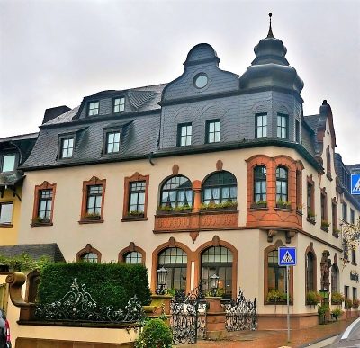
Wohn- und Geschäftshaus
Residential and Farm Buildings Town Houses and Commercial Buildings ID 48454
-
Wohnhaus
Residential and Farm Buildings Town Houses and Commercial Buildings ID 22832
-
Wohnhaus
Residential and Farm Buildings Town Houses and Commercial Buildings ID 22833
-
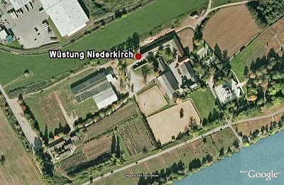
Wüstung Niederkirch
Settlements Deserted Settlements ID 72