Bernkastel-Kues
2,773 heritage sites in the collective municipality of Bernkastel-Kues in the Kulturdatenbank Region Trier.
The map shows all 2,773 results.
-
Ehemaliger Meilerplatz
Economy, Trade and Transport Charcoal Kilns ID 55378
-
Ehemaliger Meilerplatz
Economy, Trade and Transport Charcoal Kilns ID 55379
-
Ehemaliger Meilerplatz
Economy, Trade and Transport Charcoal Kilns ID 55380
-
Ehemaliger Meilerplatz
Economy, Trade and Transport Charcoal Kilns ID 55381
-
Ehemaliger Meilerplatz
Economy, Trade and Transport Charcoal Kilns ID 55382
-
Ehemaliger Meilerplatz
Economy, Trade and Transport Charcoal Kilns ID 55383
-
Eisenzeitliche Straße
Economy, Trade and Transport Road Transport ID 18690
-
Eisenzeitliche Straße
Economy, Trade and Transport Road Transport ID 18691
-
Evangelische Kirche
Religious Buildings Protestant Churches ID 3518
-
Hinter Rodeflur
Field Names ID 43150
-
Im Krummenacker
Field Names ID 42353
-
Im untersten Grund
Field Names ID 46900
-
In der Steinkaul
Field Names ID 27827
-
Quereinhaus
Residential and Farm Buildings Farmhouses and Farm Buildings ID 14920
-
Quereinhaus
Residential and Farm Buildings Farmhouses and Farm Buildings ID 14921
-
Rodeflur
Field Names ID 43118
-
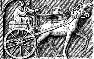
Römische Straße
Economy, Trade and Transport Road Transport ID 18677
-
Römische Straße
Economy, Trade and Transport Road Transport ID 18678
-
Römischer Siedlungsplatz
Settlements Settlements ID 18673
-
Römischer Siedlungsplatz
Settlements Settlements ID 18674
-
Spuren einer Römerstraße
Economy, Trade and Transport Road Transport ID 4811
-
Steinigeroth
Field Names ID 43371
-
Unter Hemesrech
Field Names ID 29729
-
Unter Rodenrech
Field Names ID 43140
-
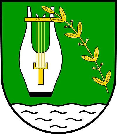
Wappen der Gemeinde Hochscheid
Coats of Arms ID 5460
-
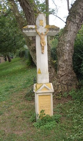
Wegekreuz
Field Names ID 48377
-
Ehemalige Kuhnenmühl am Altbach
Engineering Structures and Industrial Sites Mills ID 18854
-
Ehemalige Mühle am Altbach
Engineering Structures and Industrial Sites Mills ID 18853
-
Ehemalige Mühle am Kreischbach
Engineering Structures and Industrial Sites Mills ID 18855
-
Ehemalige Mühle am Kreischbach
Engineering Structures and Industrial Sites Mills ID 35551
-
Dreismühle am Dreisbach
Engineering Structures and Industrial Sites Mills ID 7591
-
Ehemaliger Steinbruch
Economy, Trade and Transport Extraction and Processing of Raw Materials ID 19414
-
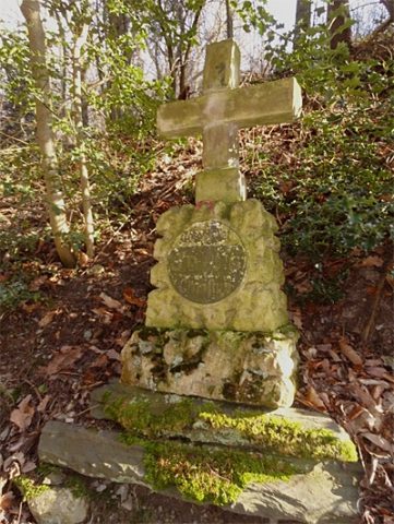
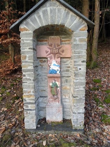
Wegekreuz
Religious Buildings Wayside Shrines and Stations of the Cross ID 30422
-
Wegekreuz bei der Kestener Mühle
Religious Buildings Wayside Shrines and Stations of the Cross ID 30423
-
Aufm Rothenrech
Field Names ID 43391
-
Aussichtspunkt
Viewpoints ID 33176
-
Aussichtspunkt
Viewpoints ID 33177
-
Barockes Schaftkreuz
Schöppkreuz
Religious Buildings Wayside Shrines and Stations of the Cross ID 14871
-
Bei Holzborn
Field Names ID 31407
-
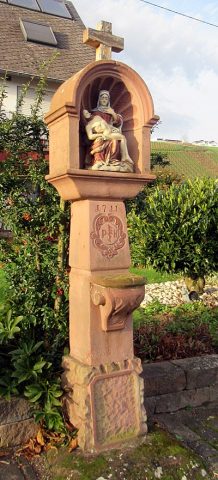
Bildstock (Pestkreuz)
Religious Buildings Wayside Shrines and Stations of the Cross ID 30424
-
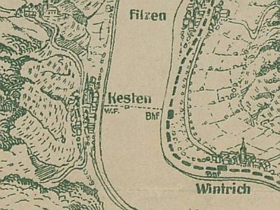
Ehemalige Wagenfähre Kesten - Wintrich
Economy, Trade and Transport Ferries ID 18880
-
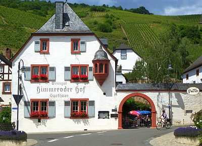
Ehemaliger Himmeroder Klosterhof
Residential and Farm Buildings Farmhouses and Farm Buildings ID 212
-
Ehemaliger Paulinshof
Residential and Farm Buildings Farmhouses and Farm Buildings ID 15128
-
Ehemaliger Steinbruch
Economy, Trade and Transport Extraction and Processing of Raw Materials ID 35668