Bitburger Land
3,990 heritage sites in the collective municipality of Bitburger Land in the Kulturdatenbank Region Trier.
The map shows all 3,990 results.
-
Schaftkreuz am Sauerberg
Religious Buildings Wayside Shrines and Stations of the Cross ID 10228
-
Schaftkreuz von 1751
Religious Buildings Wayside Shrines and Stations of the Cross ID 10230
-
Schaftkreuz von 1756
Religious Buildings Wayside Shrines and Stations of the Cross ID 10234
-
Schaftkreuz von 1821
Religious Buildings Wayside Shrines and Stations of the Cross ID 10231
-
Teil einer Villenanlage
Settlements Settlements ID 12530
-
Unnigendell
Field Names ID 45685
-
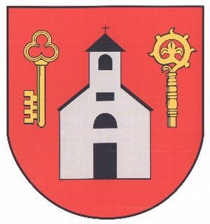
Wappen der Gemeinde Heilenbach
Coats of Arms ID 10222
-
Wegekreuz
Religious Buildings Wayside Shrines and Stations of the Cross ID 10233
-
Wegekreuz
Religious Buildings Wayside Shrines and Stations of the Cross ID 30553
-
Wegekreuz
Religious Buildings Wayside Shrines and Stations of the Cross ID 30554
-
Wegekreuz im Hardtwald
Gedenkkreuz für eine erschossene Frau
Religious Buildings Wayside Shrines and Stations of the Cross ID 10232
-
Winkelhof
Denkmalzone Birkenstraße 1, 2, 3, Hauptstraße 15
Residential and Farm Buildings Farmhouses and Farm Buildings ID 10239
-
Winkelhof
Denkmalzone Birkenstraße 1, 2, 3, Hauptstraße 15
Residential and Farm Buildings Farmhouses and Farm Buildings ID 32955
-
Winkelhof
Denkmalzone Birkenstraße 1, 2, 3, Hauptstraße 15
Residential and Farm Buildings Farmhouses and Farm Buildings ID 32956
-
Wohn- und Gesindehaus
Denkmalzone Birkenstraße 1, 2, 3, Hauptstraße 15
Residential and Farm Buildings Farmhouses and Farm Buildings ID 10235
-
Wegekreuz
Religious Buildings Wayside Shrines and Stations of the Cross ID 30478
-
Bei Engelsborn
Field Names ID 31541
-
Beim Messenpfad
Field Names ID 38379
-
Dreiseithöfe
Residential and Farm Buildings Farmhouses and Farm Buildings ID 10240
-
Hofanlage
Residential and Farm Buildings Farmhouses and Farm Buildings ID 10242
-
Im Engelsborn
Field Names ID 31542
-
Im Gründchen
Field Names ID 45060
-
Im Hasenberg
Field Names ID 52995
-
Ortsgeschichte Hisel
Place Names / Local History ID 876
-
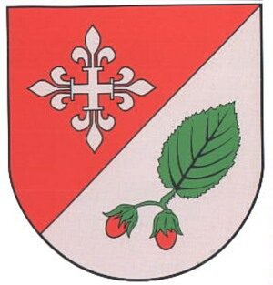
Wappen der Gemeinde Hisel
Coats of Arms ID 2696
-
Wegekreuz
Religious Buildings Wayside Shrines and Stations of the Cross ID 30479
-
Wegekreuz an der Bundesstraße 50
Religious Buildings Wayside Shrines and Stations of the Cross ID 10241
-
Alte Schule
Educational Institutions Schools ID 11227
-
Auf dem Kimmel
Field Names ID 33225
-
Beim Lammersborn
Field Names ID 31614
-
Beim Lammersborn
Field Names ID 31619
-
Gehöft mit stattlichem Wohnhaus
Residential and Farm Buildings Farmhouses and Farm Buildings ID 11228
-
In Udesborn
Field Names ID 31615
-
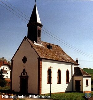
Ortsgeschichte Hütterscheid
Place Names / Local History ID 877
-
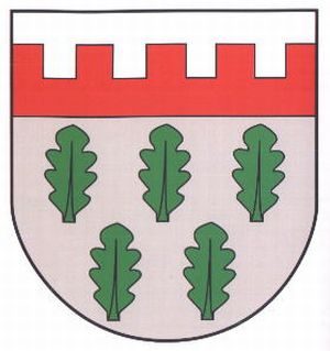
Wappen der Gemeinde Hütterscheid
Coats of Arms ID 10192
-
Wegekreuz
Religious Buildings Wayside Shrines and Stations of the Cross ID 28522
-
Wegekreuz
Religious Buildings Wayside Shrines and Stations of the Cross ID 28523
-
Wegekreuz
Religious Buildings Wayside Shrines and Stations of the Cross ID 28524
-
Wegekreuz
Religious Buildings Wayside Shrines and Stations of the Cross ID 28525
-
Wegekreuz
Religious Buildings Wayside Shrines and Stations of the Cross ID 28526
-
Wegekreuz
Religious Buildings Wayside Shrines and Stations of the Cross ID 28527
-
Wegekreuz
Religious Buildings Wayside Shrines and Stations of the Cross ID 28528
-
Wegekreuz
Religious Buildings Wayside Shrines and Stations of the Cross ID 28529
-
Winkelhof
Residential and Farm Buildings Farmhouses and Farm Buildings ID 35050