Bitburger Land
3,990 heritage sites in the collective municipality of Bitburger Land in the Kulturdatenbank Region Trier.
The map shows all 3,990 results.
-
Ehemaliger Kalkofen
Economy, Trade and Transport Lime Kilns ID 44129
-
Ehemaliger Steinbruch
Economy, Trade and Transport Extraction and Processing of Raw Materials ID 42872
-
Erste Erwähnung als Grandesdorf
Place Names / Local History ID 3759
-
Grabhügelnekropole
Burials Burial Mounds ID 9118
-
Hundswies
Field Names ID 44436
-
Im Tiefenborn
Field Names ID 31646
-
In den Aspeln
Field Names ID 41776
-
Krummenheck
Field Names ID 42420
-
Meierbrühl
Field Names ID 38527
-
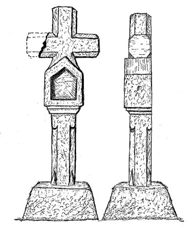
Nischenkreuz auf dem Kirchberg (1)
Religious Buildings Wayside Shrines and Stations of the Cross ID 9107
-
Nischenkreuz auf dem Kirchberg (2)
Religious Buildings Wayside Shrines and Stations of the Cross ID 13557
-
Pfarrhaus
Administrative Buildings Rectories ID 4096
-
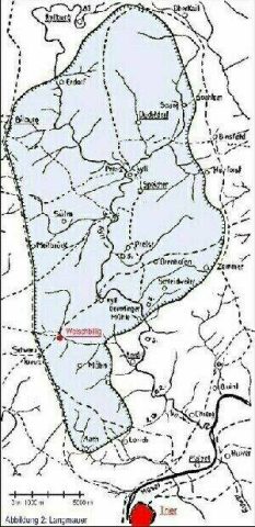
Reste der heidnischen Langmauer
Fortifications and Military Sites Roman Long Wall ID 42879
-
Reste der heidnischen Langmauer
Fortifications and Military Sites Roman Long Wall ID 42881
-
Seelborn
Field Names ID 31645
-
Torso eines barocken Schaftkreuzes
Religious Buildings Wayside Shrines and Stations of the Cross ID 13578
-
Türflügel aus dem frühen 19. Jahrhundert
Residential and Farm Buildings Farmhouses and Farm Buildings ID 11514
-
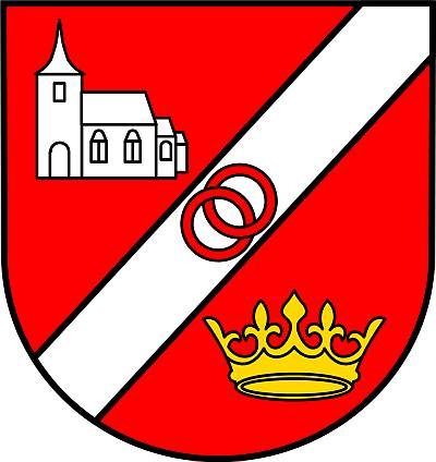
Wappen der Gemeinde Gransdorf
Coats of Arms ID 5428
-
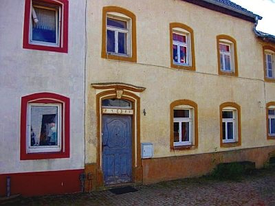
Wohnhaus
Residential and Farm Buildings Farmhouses and Farm Buildings ID 11515
-
Wohnhaus
Residential and Farm Buildings Farmhouses and Farm Buildings ID 11516
-
Zuckerberg
Place Names / Local History Street Names ID 23890
-
Hof Eulendorf (1)
Place Names / Local History ID 3761
-
Hof Eulendorf (2)
Place Names / Local History ID 11517
-
Erste Erwähnung als Geuelestorp
Place Names / Local History ID 3762
-
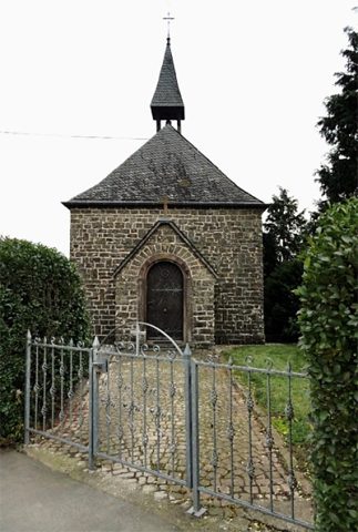
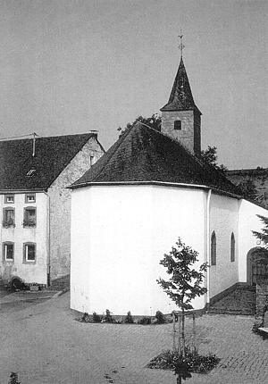
Kapelle Hof Gelsdorf
Religious Buildings Chapels ID 3763
-
Auf der Hasenley
Field Names ID 53095
-
Beim Maar
Field Names ID 35766
-
Ehemalige Kapelle
Religious Buildings Chapels ID 23872
-
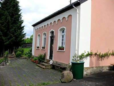
Ehemaliges Lehrerwohnhaus
Residential and Farm Buildings Town Houses and Commercial Buildings ID 10187
-
Erste Erwähnung als Haltzdorf
Place Names / Local History ID 871
-
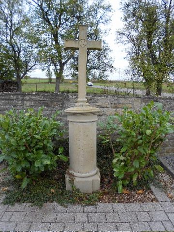
Friedhofskreuz
Markers and Monuments War Memorials ID 10180
-
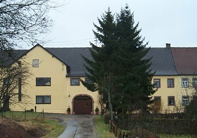
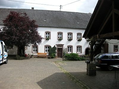
Hof
Residential and Farm Buildings Farmhouses and Farm Buildings ID 10185
-
Im Rüdelborn
Field Names ID 31467
-
In Hemericherdell
Field Names ID 45465
-
In Junkerwies
Field Names ID 40657
-
In der Hasenlai
Field Names ID 53096
-
Krummfelder
Field Names ID 42390
-
Remise
Residential and Farm Buildings Farmhouses and Farm Buildings ID 10186
-
Römische Siedlungsstelle
Settlements Settlements ID 12527
-
Streckhof
Residential and Farm Buildings Farmhouses and Farm Buildings ID 10183
-
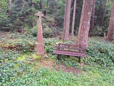
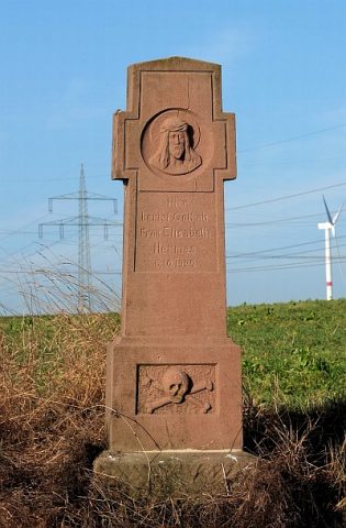
Sühnekreuz
Religious Buildings Wayside Shrines and Stations of the Cross ID 10182
-
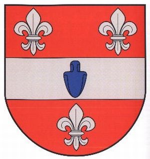
Wappen der Gemeinde Halsdorf
Coats of Arms ID 10223
-
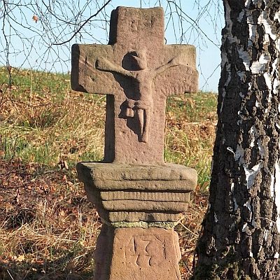
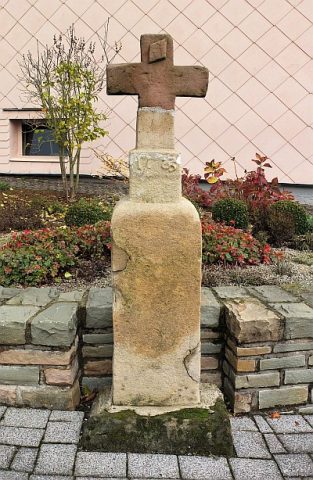
Wegekreuz
Religious Buildings Wayside Shrines and Stations of the Cross ID 10181
-
Wegekreuz
Religious Buildings Wayside Shrines and Stations of the Cross ID 30475
-
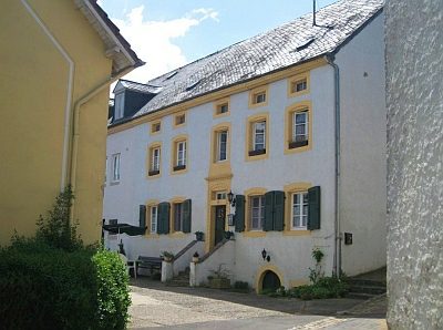
Wohnhaus eines Hofs
Residential and Farm Buildings Farmhouses and Farm Buildings ID 10184