Bitburger Land
3,990 heritage sites in the collective municipality of Bitburger Land in the Kulturdatenbank Region Trier.
The map shows all 3,990 results.
-
Wohnhaus
Residential and Farm Buildings Farmhouses and Farm Buildings ID 10692
-
Wohnhaus
Residential and Farm Buildings Farmhouses and Farm Buildings ID 10693
-
Wegekreuz
Religious Buildings Wayside Shrines and Stations of the Cross ID 28549
-
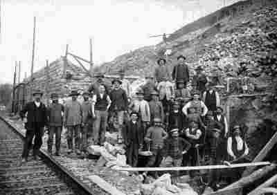
Ehemaliger Sandsteinbruch Mathias Schmitt
Economy, Trade and Transport Extraction and Processing of Raw Materials ID 43999
-
Ehemaliger Steinbruch
Economy, Trade and Transport Extraction and Processing of Raw Materials ID 48742
-
Auf Fyrgherrath
Field Names ID 43832
-
Auf der Goldmauer
Field Names ID 36456
-
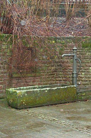
Dorfbrunnen
Fountains and Wells ID 39071
-
Ehemalige Ladestelle
Kleinbahn Philippsheim - Binsfeld
Engineering Structures and Industrial Sites Railways ID 43997
-
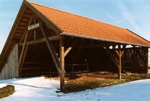
Ehemaliges Waschhaus
Historic Townscapes Washing Places ID 44000
-
Eifelbahn (Denkmalzone)
Engineering Structures and Industrial Sites Railways ID 4675
-
Einhof
Residential and Farm Buildings Farmhouses and Farm Buildings ID 11219
-
In der Kirchengewann
Field Names ID 46219
-
In der Meierswies
Field Names ID 38522
-
Mittelalterliche Gräber
Burials Burial Mounds ID 10416
-
Ortsgeschichte Gondorf
Place Names / Local History ID 898
-
Römische Siedlungsstelle
Settlements Settlements ID 10341
-
Römische Siedlungsstelle
Burials Burial Mounds ID 12682
-
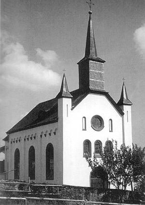
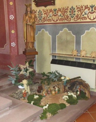
Sankt Wendelinus - Weihnachtskrippe
Katholische Filialkirche
Religious Buildings Nativity Scenes ID 57479
-
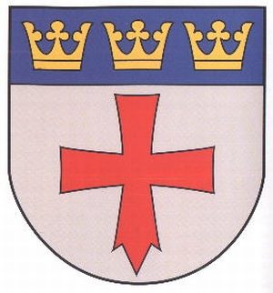
Wappen der Gemeinde Gondorf
Coats of Arms ID 10190
-
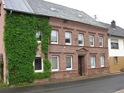
Wohnhaus
Residential and Farm Buildings Farmhouses and Farm Buildings ID 11218
-
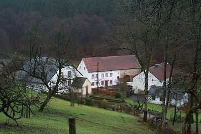
Biermühle am Kailbach
Engineering Structures and Industrial Sites Mills ID 7530
-
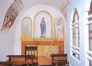
Hauskapelle Gransdorf-Biermühle
Religious Buildings Chapels ID 3474
-
Kleines Schaftkreuz von 1819
Religious Buildings Wayside Shrines and Stations of the Cross ID 13580
-
Am Kirchberg
Field Names ID 46050
-
Am Rothenberg
Field Names ID 43489
-
Am Rothenberg
Field Names ID 43650
-
Aufm Kirchberg
Field Names ID 46099
-
Breitwies
Field Names ID 37196
-
Geveldorf – Himmeroder Grangie
Settlements Deserted Settlements ID 52571
-
Hohes Schaftkreuz von 1667
Religious Buildings Wayside Shrines and Stations of the Cross ID 13581
-
Im Hasenstrick
Field Names ID 53094
-
Kleines Balkenkreuz
Religious Buildings Wayside Shrines and Stations of the Cross ID 13582
-
Mittelalterl. Industriebetrieb Hahnenbläuelchen
Mühlenberg und Mühlenbergbach
Economy, Trade and Transport ID 55800
-
Mittelalterl. Industriebetrieb Hahnenbläuelchen
Hahnenbläuelchen (auch Hahnenbleuelchen)
Economy, Trade and Transport ID 55801
-
Ortswüstung Gelsdorf
Settlements Deserted Settlements ID 629
-
Am Kirchenberg
Field Names ID 46055
-
Am Kloppenberg
Field Names ID 38254
-
Auf der Dörrwies
Field Names ID 37292
-
Auf der Schlimmfuhr in den Aspeln
Field Names ID 41778
-
Aufm Hohrech
Field Names ID 29825
-
Balkenkreuz von 1819
Religious Buildings Wayside Shrines and Stations of the Cross ID 13579
-
Dorfbrunnen
Fountains and Wells ID 4095
-
Ehemaliger Kalkofen
Economy, Trade and Transport Lime Kilns ID 1908
-
Ehemaliger Kalkofen
Economy, Trade and Transport Lime Kilns ID 19329
-
Ehemaliger Kalkofen
Economy, Trade and Transport Lime Kilns ID 44128