Daun
2,718 heritage sites in the collective municipality of Daun in the Kulturdatenbank Region Trier.
The map shows all 2,718 results.
-
Unterste Mehrener Mühle am Alfbach
Engineering Structures and Industrial Sites Mills ID 18547
-
Unterste Pfaffenbach
Field Names ID 29083
-
Wegekreuz
Religious Buildings Wayside Shrines and Stations of the Cross ID 26300
-
Wegekreuz
Religious Buildings Wayside Shrines and Stations of the Cross ID 26301
-
Wegekreuz
Religious Buildings Wayside Shrines and Stations of the Cross ID 26302
-
Wegekreuz
Religious Buildings Wayside Shrines and Stations of the Cross ID 26303
-
Wegekreuz
Religious Buildings Wayside Shrines and Stations of the Cross ID 26304
-
Wegekreuz
Religious Buildings Wayside Shrines and Stations of the Cross ID 26306
-
Winkelhof
Residential and Farm Buildings Farmhouses and Farm Buildings ID 18451
-
Winkelhof - Stallscheune
Residential and Farm Buildings Farmhouses and Farm Buildings ID 18624
-
Wohnhaus
Residential and Farm Buildings Farmhouses and Farm Buildings ID 16506
-
Wohnhaus
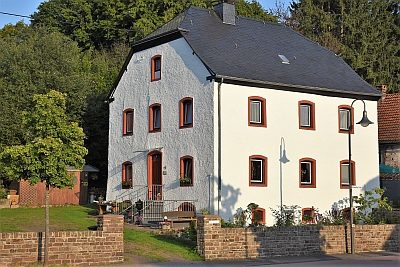
Sogenanntes Herrenhaus
Residential and Farm Buildings Farmhouses and Farm Buildings ID 16509
-
Zimmermanns-Heiligenhäuschen
Religious Buildings Wayside Shrine Houses ID 18401
-
Mehrener Mühle am Schalkenmehrener Bach
Engineering Structures and Industrial Sites Mills ID 7722
-
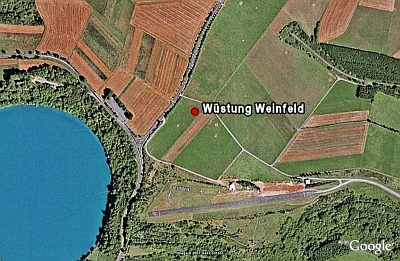
Wüstung Weinfeld
Settlements Deserted Settlements ID 790
-
Ober der Daunerstraße beim Vogelsborn
Field Names ID 32042
-
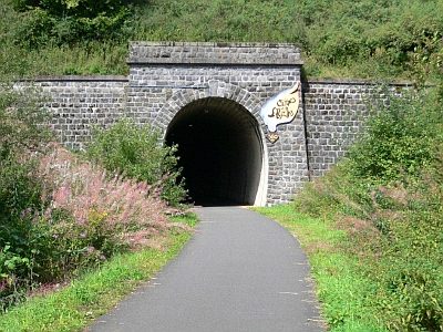
Tunnelportal Großes Schlitzohr
Ehemals Schalkenmehrener Tunnel
Engineering Structures and Industrial Sites Railways ID 18942
-
Am Rosborn
Field Names ID 31798
-
Auf dem Zuckerberg
Place Names / Local History Street Names ID 23889
-
Aufm Beienpesch
Field Names ID 27305
-
Aufm Bungert
Field Names ID 28029
-
Aufm Röder
Field Names ID 42099
-
Bei der Trift
Field Names ID 28409
-
Beim Dreesborn
Field Names ID 31820
-
Beim gesalzten Born
Field Names ID 31818
-
Ehemalige Erzabbaustelle
Economy, Trade and Transport Extraction and Processing of Raw Materials ID 48526
-
Ehemalige Erzabbaustelle
Economy, Trade and Transport Extraction and Processing of Raw Materials ID 48527
-
Ehemalige Erzabbaustelle
Economy, Trade and Transport Extraction and Processing of Raw Materials ID 48528
-
Ehemalige Erzabbaustelle
Economy, Trade and Transport Extraction and Processing of Raw Materials ID 48529
-
Ehemalige Erzabbaustelle
Economy, Trade and Transport Extraction and Processing of Raw Materials ID 48530
-
Ehemalige Erzabbaustelle
Economy, Trade and Transport Extraction and Processing of Raw Materials ID 48531
-
Ehemalige Erzabbaustelle
Economy, Trade and Transport Extraction and Processing of Raw Materials ID 48532
-
Ehemaliger Steinbruch
Economy, Trade and Transport Extraction and Processing of Raw Materials ID 19103
-
Ehemaliges katholisches Pfarrhaus
Administrative Buildings Rectories ID 16511
-
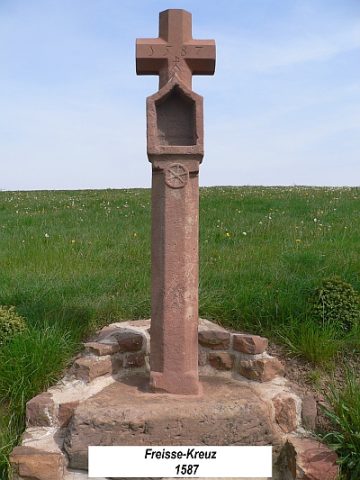
Freisse-Kreuz am Weg nach Rascheid
Religious Buildings Wayside Shrines and Stations of the Cross ID 23108
-
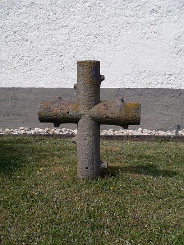
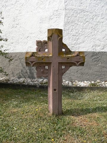
Friedhofskreuz südlich der Kirche - Baumkreuz
Markers and Monuments War Memorials ID 23113
-
Friedhofskreuz südlich der Kirche - Lilienkreuz
Markers and Monuments War Memorials ID 23114
-
Fundstreuung römischer Keramik
Settlements Find Sites ID 12514
-
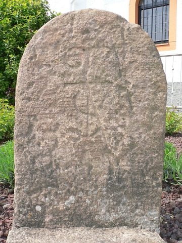
Grenzstein am Kirchenvorplatz
Markers and Monuments Surveying ID 23212
-
Im Kirchenberg
Field Names ID 46165
-
In Rosborn
Field Names ID 31810
-
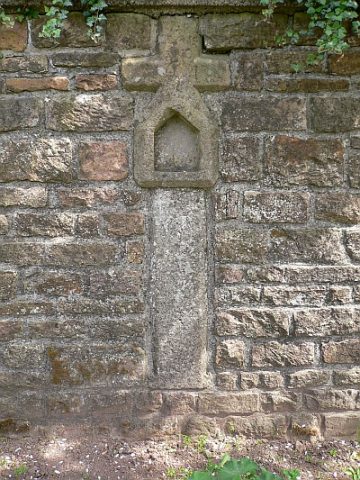
Nischenkreuz mit Corpus von 1814
Religious Buildings Wayside Shrines and Stations of the Cross ID 23112
-
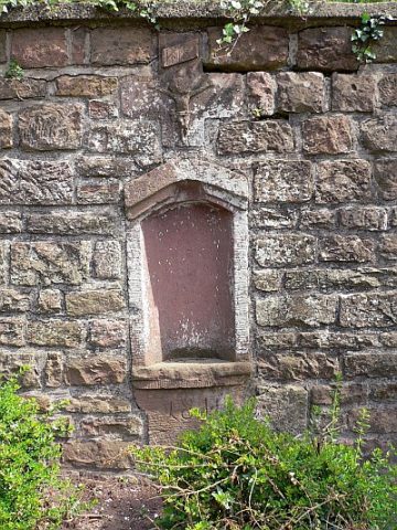
Nischenkreuz von 1613
Religious Buildings Wayside Shrines and Stations of the Cross ID 6273
-
Ortsgeschichte Meisburg
Place Names / Local History ID 6269
-
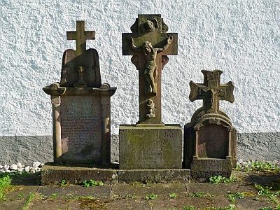
Priestergrabmale Sankt Bartholomäus
Gesamtansicht und Einzelansichten
Religious Buildings Burial Sites ID 17417