Daun
2,718 heritage sites in the collective municipality of Daun in the Kulturdatenbank Region Trier.
The map shows all 2,718 results.
-
Mühlsteinbruch Auf der Aarley
Economy, Trade and Transport Extraction and Processing of Raw Materials ID 24206
-
Mühlsteinbruch Liley mit Lühwald
Economy, Trade and Transport Extraction and Processing of Raw Materials ID 24143
-
Mühlsteinbruch Müllekaul
Economy, Trade and Transport Extraction and Processing of Raw Materials ID 24118
-
Ober Zancheborn
Field Names ID 31986
-
Oberst Bilsenheld
Field Names ID 40202
-
Römische Fundstreuung
Settlements Find Sites ID 12401
-
Römische Grabhügelnekropole
Burials Burial Mounds ID 12400
-
Römische Siedlungsstelle
Settlements Settlements ID 12026
-
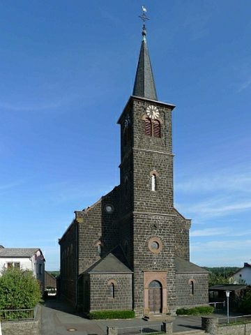
Sandsteinkreuz gegenüber der Pfarrkirche
Religious Buildings Wayside Shrines and Stations of the Cross ID 13660
-
Sogenannter Dreigemeindestein oder Dicker Stein
Legal Monuments ID 26565
-
Sogenannter Schwarzerer Stein
Legal Monuments ID 26569
-
Stierwies
Field Names ID 52782
-
Trierer Haus
Residential and Farm Buildings Farmhouses and Farm Buildings ID 16478
-
Trierer Haus
Residential and Farm Buildings Farmhouses and Farm Buildings ID 16479
-
Unter Herchenheld vor Küpscheid
Field Names ID 40174
-
Vulkan Aarlei
Geological Features Volcanoes ID 30155
-
Vulkan Löhley (Liley)
Geological Features Volcanoes ID 30154
-
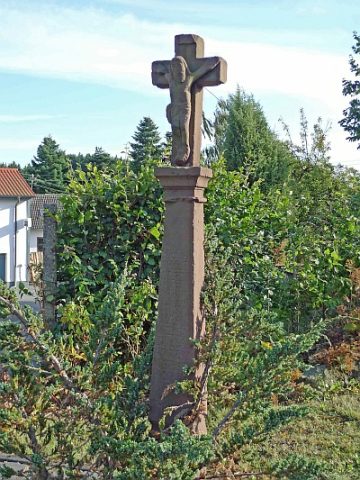
Wegekreuz
Religious Buildings Wayside Shrines and Stations of the Cross ID 26570
-
Wegekreuz
Religious Buildings Wayside Shrines and Stations of the Cross ID 30359
-
Wegekreuz
Religious Buildings Wayside Shrines and Stations of the Cross ID 52574
-
Wegekreuz
Religious Buildings Wayside Shrines and Stations of the Cross ID 52575
-
Zancheborn
Field Names ID 31983
-
Zancheborn
Field Names ID 31988
-
Zweigeschossiger Massivbau
Residential and Farm Buildings Farmhouses and Farm Buildings ID 35197
-
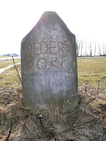
Üdersdorfermühle an der Lieser
Engineering Structures and Industrial Sites Mills ID 7797