Daun
2,718 heritage sites in the collective municipality of Daun in the Kulturdatenbank Region Trier.
The map shows all 2,718 results.
-
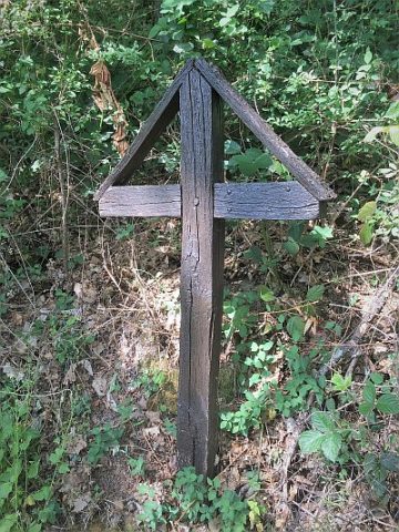
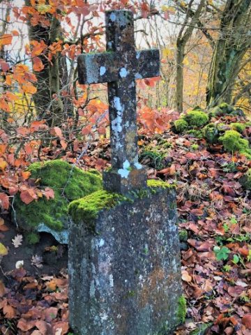
Wegekreuz
Religious Buildings Wayside Shrines and Stations of the Cross ID 26070
-
Wegekreuz
Religious Buildings Wayside Shrines and Stations of the Cross ID 26071
-
Wegekreuz
Religious Buildings Wayside Shrines and Stations of the Cross ID 26072
-
Wegekreuz bei der Kapelle
Religious Buildings Wayside Shrines and Stations of the Cross ID 26067
-
Auf Rählroth
Field Names ID 43284
-
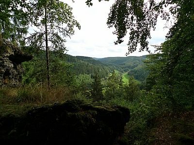
Aarley - Aussichtspunkt
Viewpoints ID 35960
-
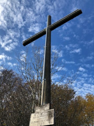
Aarley - Dankeskreuz
Religious Buildings Wayside Shrines and Stations of the Cross ID 3411
-
Aarley - Gipfel
Rocks ID 17497
-
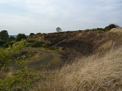
Aarley - Lavagrube
Economy, Trade and Transport Extraction and Processing of Raw Materials ID 17495
-
Abbau von Bleierz
Economy, Trade and Transport Extraction and Processing of Raw Materials ID 42697
-
Alte Schule
Educational Institutions Schools ID 16477
-
An Herchenheld
Field Names ID 40173
-
An der Sandkaul
Field Names ID 40725
-
Auf Herchenheld vor Küpscheid
Field Names ID 40175
-
Auf Wirbelpesch
Field Names ID 27512
-
Auf der Streitwiese
Field Names ID 41729
-
Aussichtspunkt Löhley
Viewpoints ID 35987
-
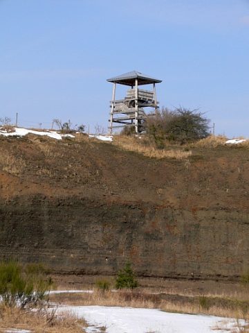
Aussichtsturm auf der Aarley
Viewpoints Observation Towers ID 26567
-
Basaltkreuz östlich der Aarley
Religious Buildings Wayside Shrines and Stations of the Cross ID 17496
-
Bei dem Weiberborn
Field Names ID 31969
-
Bei der Bleikaul
Field Names ID 27758
-
Bei der Sandkaul
Field Names ID 40724
-
Die Held
Field Names ID 40172
-
Die Wolfswiese
Field Names ID 36907
-
Die Wolfswiese
Field Names ID 36911
-
Ehemaliger Steinbruch
Economy, Trade and Transport Extraction and Processing of Raw Materials ID 47004
-
Ehemaliger Steinbruch
Economy, Trade and Transport Extraction and Processing of Raw Materials ID 48610
-
Ehemaliger Steinbruch
Economy, Trade and Transport Extraction and Processing of Raw Materials ID 48611
-
Ehemaliger Steinbruch
Economy, Trade and Transport Extraction and Processing of Raw Materials ID 48616
-
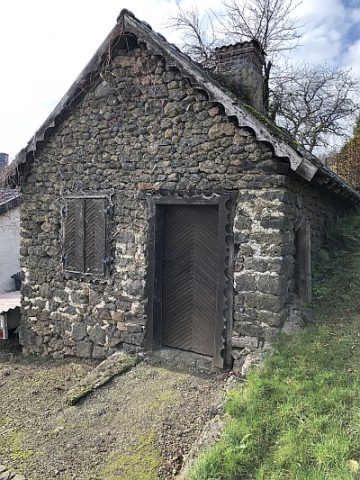
Ehemaliges Backhaus
Residential and Farm Buildings Farmhouses and Farm Buildings ID 16626
-
Eichheld
Field Names ID 40180
-
Erste Erwähnung als Oistersdorf
Place Names / Local History ID 3407
-
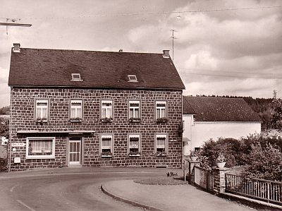
Gasthaus Hubert-Krischel
Üdersdorfer Gaststättenerlaubnis mit Hindernissen
Economy, Trade and Transport Catering, Inns and Hotels ID 19858
-
Hinterm Johanns Pesch
Field Names ID 40627
-
Im Kloster
Field Names ID 38162
-
In der Acht
Field Names ID 35365
-
In der Dell
Field Names ID 45143
-
In der Eichheld auf der Schläft
Field Names ID 40176
-
In der Held am Bärentälchen
Field Names ID 40167
-
In der Winkelbach
Field Names ID 39892
-
In der Wolfskaul
Field Names ID 36912
-
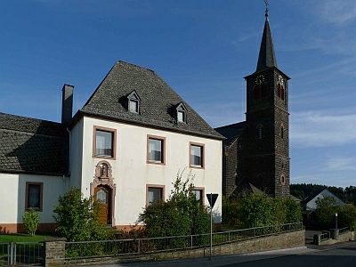
Katholisches Pfarramt
Administrative Buildings Rectories ID 16480
-
Lieserpfad
Educational Trails ID 3445
-
Löhley - Basaltgrube
Economy, Trade and Transport Extraction and Processing of Raw Materials ID 3444