Konz
1,710 heritage sites in the collective municipality of Konz in the Kulturdatenbank Region Trier.
The map shows all 1,710 results.
-
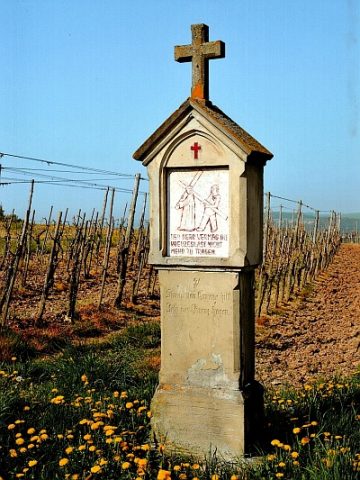
Kreuzweganlage zur Rochuskapelle - 5. Station
Religious Buildings Wayside Shrines and Stations of the Cross ID 13858
-
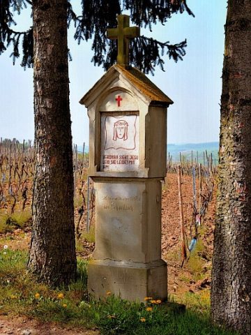
Kreuzweganlage zur Rochuskapelle - 6. Station
Religious Buildings Wayside Shrines and Stations of the Cross ID 13859
-
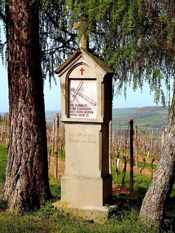
Kreuzweganlage zur Rochuskapelle - 7. Station
Religious Buildings Wayside Shrines and Stations of the Cross ID 13860
-
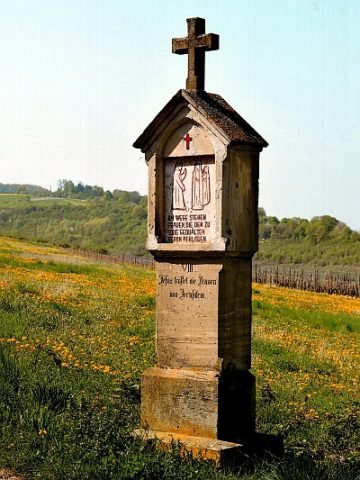
Kreuzweganlage zur Rochuskapelle - 8. Station
Religious Buildings Wayside Shrines and Stations of the Cross ID 13861
-
Kreuzweganlage zur Rochuskapelle - 9. Station
Religious Buildings Wayside Shrines and Stations of the Cross ID 13862
-
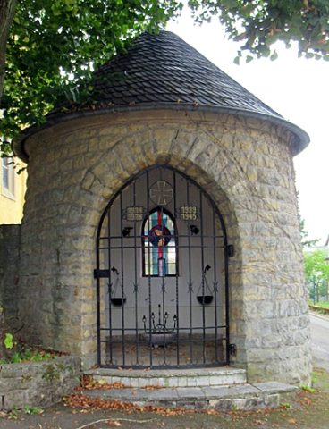
Kriegergedächtniskapelle bei Kirche St. Barbara
Religious Buildings Chapels ID 51935
-
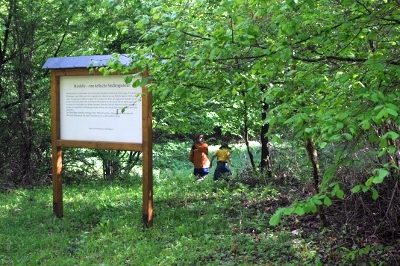
Lehrpfad
Educational Trails ID 1363
-
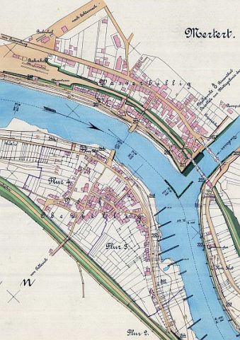
Moselfähre Oberbillig-Wasserbillig
Economy, Trade and Transport Ferries ID 1381
-
Museum Pieterhaus
Educational Institutions Museums ID 1060
-
Ortsname / Ortsgeschichte
Place Names / Local History ID 1937
-
Profanierte Kapelle
Religious Buildings Chapels ID 13875
-
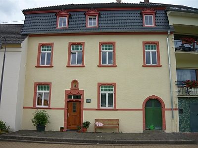
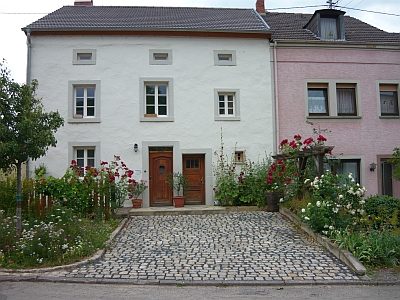
Quereinhaus
Residential and Farm Buildings Town Houses and Commercial Buildings ID 13877
-
Rochuskapelle
Religious Buildings Chapels ID 16256
-
Römerberg
Vineyard Sites ID 47386
-
Römerberg
Vineyard Sites ID 47387
-
Römerberg
Vineyard Sites ID 47388
-
Römerberg
Vineyard Sites ID 47389
-
Römerberg
Vineyard Sites ID 47440
-
Sankt Barbara - Sandsteinkruzifix am Turmportal
Religious Buildings Wayside Shrines and Stations of the Cross ID 13868
-
Schieferstollen
Economy, Trade and Transport Extraction and Processing of Raw Materials ID 49907
-
Schifferhaus Keil
Residential and Farm Buildings Town Houses and Commercial Buildings ID 23245
-
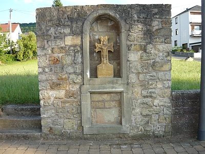
Steinkreuz
Religious Buildings Wayside Shrines and Stations of the Cross ID 13865
-
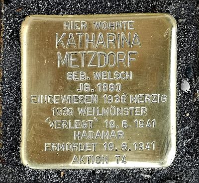
Stolperstein für Katharina Metzdorf
Markers and Monuments Stolpersteine (Stumbling Stones) ID 53134
-
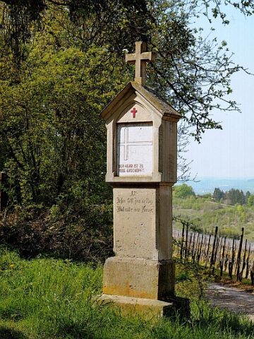
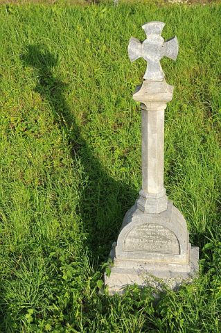
Säulenkreuz zwischen Oberbillig und Wasserliesch
Religious Buildings Wayside Shrines and Stations of the Cross ID 13869
-
Unglückskreuz an der Bundesstraße 419
Zwischen Oberbillig und Temmels
Religious Buildings Wayside Shrines and Stations of the Cross ID 13870
-
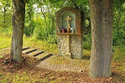
Wegekreuz
Religious Buildings Wayside Shrines and Stations of the Cross ID 30564
-
Wohnhaus
Residential and Farm Buildings Farmhouses and Farm Buildings ID 13867
-
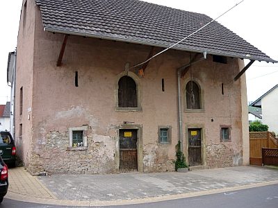
Ökonomiegebäude
Residential and Farm Buildings Farmhouses and Farm Buildings ID 13878
-
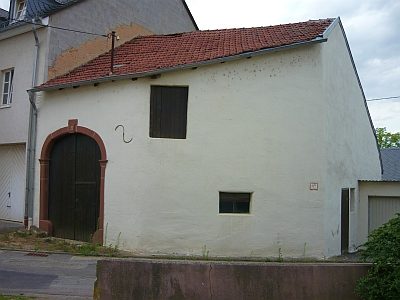
Ökonomiegebäude
Residential and Farm Buildings Farmhouses and Farm Buildings ID 23244
-
Auf der Acht
Field Names ID 35392
-
Auf der Streitergasse
Field Names ID 41730
-
Aussichtspunkt Kolmetsberg
Viewpoints ID 41044
-
Ehemalige Mühle am Mausbach
Engineering Structures and Industrial Sites Mills ID 18723
-
Erste Erwähnung als Omestorff
Place Names / Local History ID 1938
-
Hanfgarten
Field Names ID 27862
-
Hubertusberg
Vineyard Sites ID 47390
-
Hubertusberg
Vineyard Sites ID 47448
-
Im nassen Garten
Field Names ID 36035
-
Im süssen Grund
Field Names ID 46893
-
In der Acht
Field Names ID 35330
-
Kapelle
Religious Buildings Chapels ID 18724
-
Nachtweide
Field Names ID 48304
-
Römische Siedlung
Settlements Settlements ID 1939
-
Wetterkreuz
Religious Buildings Wayside Shrines and Stations of the Cross ID 1940
-
Wingertsberg
Vineyard Sites ID 39139
-
Hasentanz
Field Names ID 49848