Konz
1,710 heritage sites in the collective municipality of Konz in the Kulturdatenbank Region Trier.
The map shows all 1,710 results.
-
Fundstellen tierischer Versteinerungen
Geological Features Fossils ID 50987
-
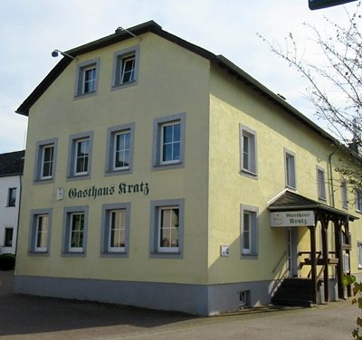
Gasthaus Kratz
ehemals Metzgerei und Gasthaus Jung
Residential and Farm Buildings Farmhouses and Farm Buildings ID 51347
-
Hasselgewann und Wolfsscheer
Field Names ID 36715
-
Hinten in Closey
Field Names ID 32775
-
Historisches Ortsbild
Historic Townscapes ID 1960
-
Hundsbuckel im Faschel
Field Names ID 44551
-
Höhle Im Schiessloch
Caves ID 23169
-
Hölle
Vineyard Sites ID 45882
-
Im Brautrech
Field Names ID 29602
-
Im Feils Hostert
Field Names ID 27937
-
Im Graweltswingert
Vineyard Sites ID 39141
-
Im Kappeswingert
Vineyard Sites ID 41706
-
Im Raubungert
Field Names ID 28089
-
Im Teichgrund
Field Names ID 46895
-
Im Wingert vor Immersch
Vineyard Sites ID 39154
-
Im Wolfsfeld
Field Names ID 36721
-
In Closey
Field Names ID 32774
-
In Kloppwies
Field Names ID 38216
-
In der Sauerwies
Field Names ID 34535
-
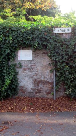
In Ägypten
Place Names / Local History Street Names ID 51345
-
Jungenwald
Field Names Forest Names ID 49433
-
Jüdische Geschichte
Place Names / Local History Jewish History ID 14696
-
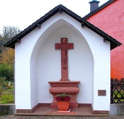
Kapelle mit Altarkreuz
Religious Buildings Chapels ID 48635
-
Kelterberg
Vineyard Sites ID 45908
-
Klosterberg
Vineyard Sites ID 47472
-
Kochsmühle am Oberemmelerbach
Engineering Structures and Industrial Sites Mills ID 8983
-
Koebigerberg in den Jungen Wingerten
Vineyard Sites ID 39140
-
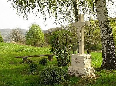
Kreuz auf der Wiltinger Kupp
Religious Buildings Wayside Shrines and Stations of the Cross ID 14704
-
Kreuz vor dem Pfarrhaus
Religious Buildings Wayside Shrines and Stations of the Cross ID 48638
-
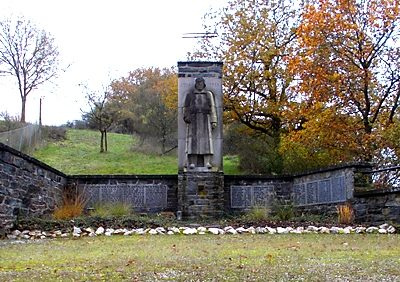
Kriegerdenkmal 1914/18
Markers and Monuments War Memorials ID 48634
-
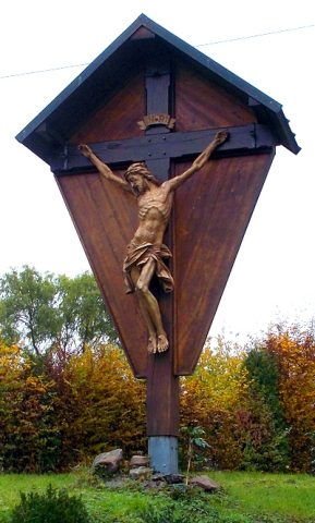
Krohkreuz
Religious Buildings Wayside Shrines and Stations of the Cross ID 6580
-
Krummfuhren auf dem Liehr
Field Names ID 42496
-
Kupfererzmutung Kupferberg
Grubenfeld Scharzhof I
Economy, Trade and Transport Extraction and Processing of Raw Materials ID 57471
-
Kupfererzmutung Kupferberg
Grubenfeld Wiltingen I
Economy, Trade and Transport Extraction and Processing of Raw Materials ID 57472
-
Kupfererzmutung Kupferberg
Grubenfeld Wiltingen
Economy, Trade and Transport Extraction and Processing of Raw Materials ID 57473
-
Marktort Wiltingen
Economy, Trade and Transport Market Towns ID 33197
-
Mitten in Schödergrund Schödergrund
Field Names ID 46929
-
Oben in Schödergrund
Field Names ID 46934
-
Ober Feils Hostert
Field Names ID 27933
-
Ober Kloppwies
Field Names ID 38217
-
Ober Milchertsborn
Field Names ID 30777
-
Ober der Maarbornwies
Field Names ID 35703
-
Obig der Sauerwies
Field Names ID 34442
-
Ortsname / Ortsgeschichte
Place Names / Local History ID 1961
-
Pfarrhaus Wiltingen
Administrative Buildings Rectories ID 48632
-
Praveltswald
Field Names Forest Names ID 49432
-
Proveltkreuz
Religious Buildings Wayside Shrines and Stations of the Cross ID 17012
-
Rosenborngewann
Field Names ID 30749