Field Names · Undated
Im Feils Hostert


© GeoBasis-DE / LVermGeoRP, dl-de/by-2-0
There is no picture of this object yet. Do you have a photo that you would like to make available to the Kulturdatenbank? Submit a picture
Description
This description is only available in German.
Translate with Google opens this page in Google Translate (external service)
Hostert wird meist als eine durch Zersprechung entstandene Nebenform zu Hofstatt, Hofstätte aufgefasst ‚Ort, wo ein Hof steht, stand oder stehen soll; ausgegangener Hof‘. Ebensogut ist aber auch in einzelnen Fällen eine Ableitung von Hausstatt oder von Hochstatt möglich.
Classification
- Subject area
- History
- Category
- Field Names
- Date
- Undatiert
- Period
- Undated
Location
- District
- Trier-Saarburg
- Collective municipality
- Konz
- Municipality
- Wiltingen
- Field name
- Im Feils Hostert
- Coordinates
- WGS 84: 49.642080, 6.582981 (Position: exact) WGS 84: 49° 38′ 31.5″ N, 6° 34′ 58.7″ E UTM 32 (ETRS89): E 325505 · N 5501642
Sources
Data sources
- Südhessisches Flurnamenbuch http://www.lagis-hessen.de/de/subjects/gsrec/id/1677/current/1/sn/s…
On the internet
Last edited: 8 Jun 2013 Object ID: 27937
https://kulturdb.de/en/objekt/27937-wiltingen-im-feils-hostert
Nearby
The nearest objects
Settlements
Römische Baureste
Settlements
Römische Baureste
Field Names
Ober Milchertsborn
Field Names
Murtengarten
Field Names
Ober Feils Hostert
Field Names
Bei der Rothemark
 270 m
Flood Marks
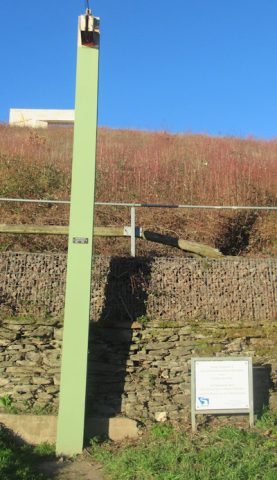
Hochwassermarke am Saaruferweg
Settlements