Flood Marks · 20th Century
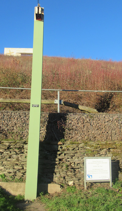
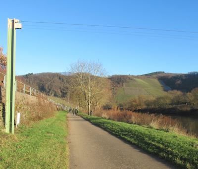
Hochwassermarke am Saaruferweg
Description
This description is only available in German.
Translate with Google opens this page in Google Translate (external service)
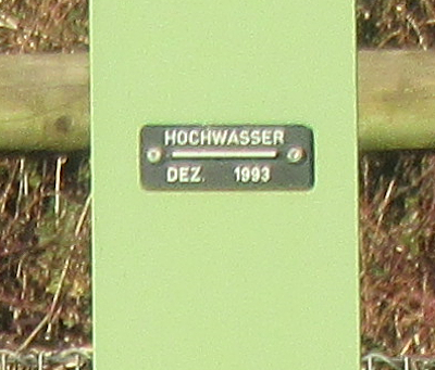
Hochwassermarke an einem Mast einer gewässerkundlichen Meßstelle zum Ausbau der Saar.
Inschrift:
HOCHWASSER
-------------------
DEZ. 1993
[1]
Classification
- Subject area
- Architectural and Art Monuments
- Category
- Markers and Monuments
- Object type
- Flood Marks
- Date
- Nach 1918
- Period
- 20th Century
Location
- District
- Trier-Saarburg
- Collective municipality
- Saarburg-Kell
- Municipality
- Schoden
- Field name
- Feils
- Coordinates
- WGS 84: 49.641564, 6.579341 (Position: exact) WGS 84: 49° 38′ 29.6″ N, 6° 34′ 45.6″ E UTM 32 (ETRS89): E 325240 · N 5501593
Sources
Data sources
- [1] Michael Grün, Trier, 2026.
On the internet
Picture credits
Last edited: 27 Jan 2026 Object ID: 57514
https://kulturdb.de/en/objekt/57514-schoden-hochwassermarke-am-saaruferweg
Nearby
The nearest objects
Settlements
Römische Baureste
Fortresses and Bunkers
Westwall - Maschinengewehr-Schartenstand
 140 m
Field Names
Im Hanfgarten
Fortresses and Bunkers
Westwall - Maschinengewehr-Doppelschartenstand
Field Names
Ober Feils Hostert
 270 m
Farmhouses and Farm Buildings
Kleingehöft
 330 m
Place Names / Local History
Gehöferschaft Schoden
 330 m
Educational Trails