Field Names · Gothic
Im Hanfgarten

Description
This description is only available in German.
Translate with Google opens this page in Google Translate (external service)
Classification
- Subject area
- History
- Category
- Field Names
- Date
- Circa 1100 bis circa 1500
- Period
- Gothic
Location
- District
- Trier-Saarburg
- Collective municipality
- Saarburg-Kell
- Municipality
- Schoden
- Field name
- Im Hanfgarten
- Coordinates
- WGS 84: 49.640346, 6.579530 (Position: exact) WGS 84: 49° 38′ 25.2″ N, 6° 34′ 46.3″ E UTM 32 (ETRS89): E 325250 · N 5501457
Sources
Data sources
- [1] Landesgeschichtliches Informationssystem Hessen.http://cgi-host.uni-marburg.de/~hlgl/mhfb/id.cgi?lines=0&ex=rs&tabl…
On the internet
Picture credits
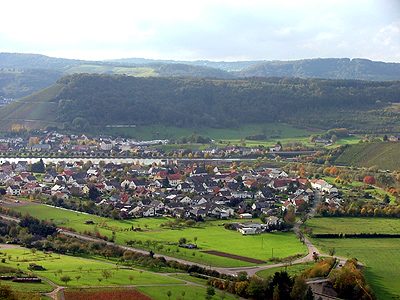
- Picture 1: Wikimedia Commons, dem freien Medienarchiv Wikimedia, 2013.
Last edited: 31 Dec 2018 Object ID: 27852
https://kulturdb.de/en/objekt/27852-schoden-im-hanfgarten
Nearby
The nearest objects
No picture
10 m
Fortresses and Bunkers
Westwall - Maschinengewehr-Schartenstand
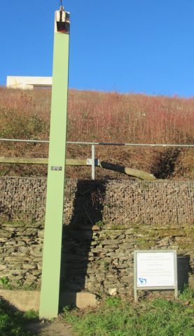 140 m
Flood Marks
Hochwassermarke am Saaruferweg
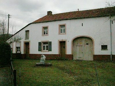 150 m
Farmhouses and Farm Buildings
Kleingehöft
No picture
190 m
Fortresses and Bunkers
Westwall - Maschinengewehr-Doppelschartenstand
No picture
200 m
Settlements
Römische Baureste
 220 m
Place Names / Local History
Gehöferschaft Schoden
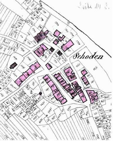 220 m
Place Names / Local History
Ortsname / Ortsgeschichte
 220 m
Educational Trails