Südeifel
3,253 heritage sites in the collective municipality of Südeifel in the Kulturdatenbank Region Trier.
The map shows all 3,253 results.
-
Hüttinger Mühle am Notzenbach
Engineering Structures and Industrial Sites Mills ID 8960
-
Im Heiligenpesch
Field Names ID 27208
-
Im Kirchenberg
Field Names ID 46164
-
Im Richtauf
Field Names ID 48913
-
Im Wolfsberg
Field Names ID 36815
-
In Gustendell
Field Names ID 45455
-
In Hormersdell
Field Names ID 45477
-
In der Bornwies
Field Names ID 31479
-
In der Lamsdell
Field Names ID 45312
-
In der Pfaffengracht
Field Names ID 29087
-
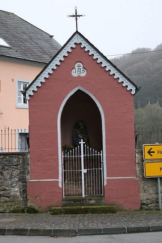
Kapelle (1)
Religious Buildings Chapels ID 30506
-
Kapelle (2)
Religious Buildings Chapels ID 40861
-
Kapelle (3)
Religious Buildings Chapels ID 40863
-
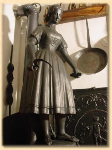
Ofen- und Eisenmuseum
Educational Institutions Museums ID 7249
-
Ortsname / Ortsgeschichte
Place Names / Local History ID 7159
-
Römische Siedlungsstelle
Settlements Settlements ID 12685
-
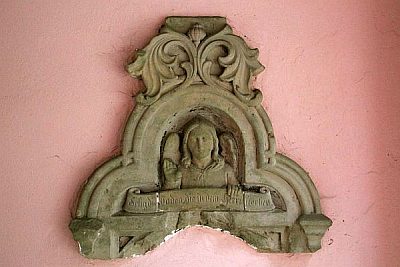
Schrifttafel
Religious Buildings Wayside Shrines and Stations of the Cross ID 30503
-
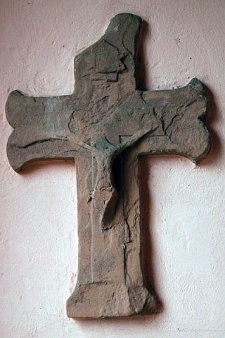
Wegekreuz
Religious Buildings Wayside Shrines and Stations of the Cross ID 30500
-
Wegekreuz
Religious Buildings Wayside Shrines and Stations of the Cross ID 30501
-
Wegekreuz
Religious Buildings Wayside Shrines and Stations of the Cross ID 30504
-
Wegekreuz
Religious Buildings Wayside Shrines and Stations of the Cross ID 30505
-
Wegekreuz
Religious Buildings Wayside Shrines and Stations of the Cross ID 30507
-
Wegekreuz
Religious Buildings Wayside Shrines and Stations of the Cross ID 30502
-
Auf dem Krummrück
Field Names ID 42341
-
Aussichtsfelsen
Viewpoints ID 39083
-
Aussichtspunkt Katzenkopf
Viewpoints ID 4372
-
Aussichtspunkt südwestlich der Ortslage
Viewpoints ID 4374
-
Beim Götzborn
Field Names ID 31250
-
Brandgräberfeld
Burials Cremation Graves ID 12809
-
Chronik der Gemeinde Irrel
Place Names / Local History ID 1396
-
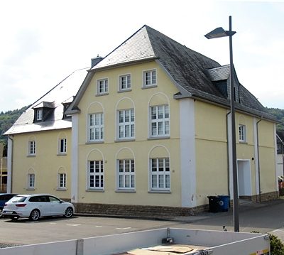
Ehemalige Schule
Educational Institutions Schools ID 40870
-
Ehemaliger Bahnhof Irrel
Engineering Structures and Industrial Sites Railways ID 40882
-
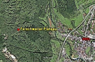
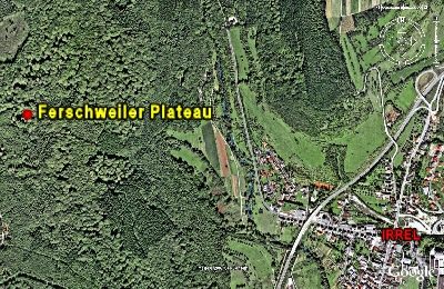
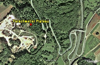
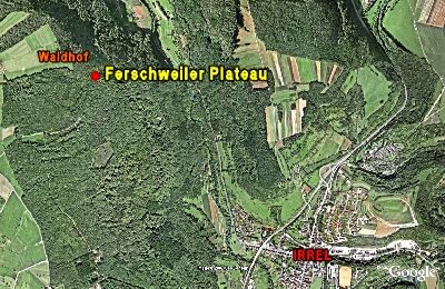
Ferschweiler Plateau - Bachschlucht
Abschnitt 10c
Fortifications and Military Sites Natural Fortresses ID 5729
-
Ferschweiler Plateau - Langenberg (Sandgrube)
Abschnitt 13
Fortifications and Military Sites Natural Fortresses ID 5724
-
Ferschweiler Plateau - Osthang gegenüber Irrel
Abschnitt 12a
Fortifications and Military Sites Natural Fortresses ID 5728
-
Ferschweiler Plateau - Schlucht
Abschnitt 10a
Fortifications and Military Sites Natural Fortresses ID 5726
-
Ferschweiler Plateau - Sogenannter Via-Punkt
Abschnitt 10b
Fortifications and Military Sites Natural Fortresses ID 5725
-
Ferschweiler Plateau - Teufelsschlucht
Abschnitt 11a
Fortifications and Military Sites Natural Fortresses ID 5731
-
Geologischer Lehrpfad Teufelsschlucht
Educational Trails ID 577
-
Im Auel
Field Names ID 42137
-
Im Grund
Field Names ID 46824
-
Im Grund
Field Names ID 46825
-
Im Paradies
Field Names ID 27886