Südeifel
3,253 heritage sites in the collective municipality of Südeifel in the Kulturdatenbank Region Trier.
The map shows all 3,253 results.
-
Im obersten Grund
Field Names ID 46878
-
In der Surbach
Field Names ID 40784
-
In der krummen Furche
Field Names ID 42442
-
Irreler Tunnel - Nordportal
Engineering Structures and Industrial Sites Railways ID 40872
-
Irreler Tunnel - Südportal
Engineering Structures and Industrial Sites Railways ID 40871
-
Irrelermühle an der Nims
Engineering Structures and Industrial Sites Mills ID 7568
-
Jüdische Geschichte
Place Names / Local History Jewish History ID 25268
-
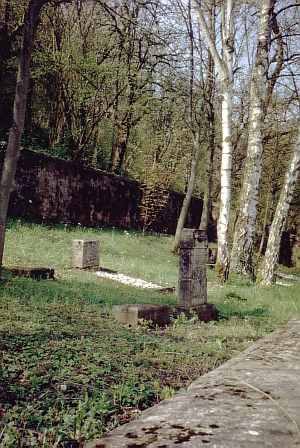
Jüdischer Friedhof
Parks, Gardens and Cemeteries Jewish Cemeteries ID 2844
-
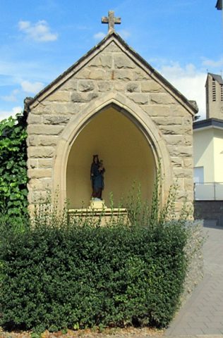
Kapelle
Religious Buildings Chapels ID 40869
-
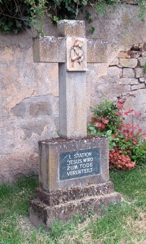
Kreuzweg beim ehemaligen Chorturm - 1. Station
Religious Buildings Wayside Shrines and Stations of the Cross ID 57203
-
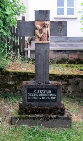
Kreuzweg beim ehemaligen Chorturm - 10. Station
Religious Buildings Wayside Shrines and Stations of the Cross ID 57212
-
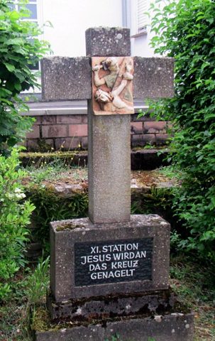
Kreuzweg beim ehemaligen Chorturm - 11. Station
Religious Buildings Wayside Shrines and Stations of the Cross ID 57213
-
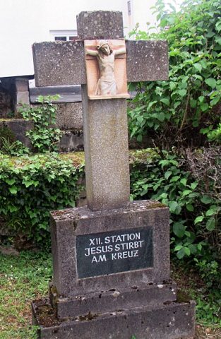
Kreuzweg beim ehemaligen Chorturm - 12. Station
Religious Buildings Wayside Shrines and Stations of the Cross ID 57214
-
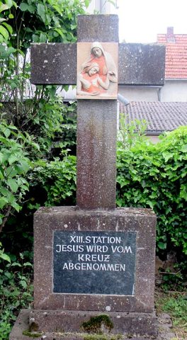
Kreuzweg beim ehemaligen Chorturm - 13. Station
Religious Buildings Wayside Shrines and Stations of the Cross ID 57215
-
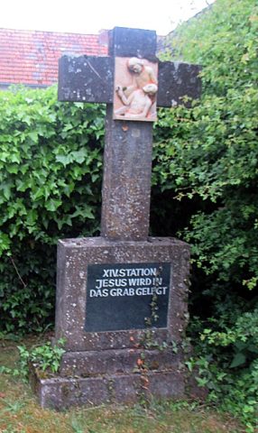
Kreuzweg beim ehemaligen Chorturm - 14. Station
Religious Buildings Wayside Shrines and Stations of the Cross ID 57216
-
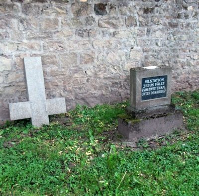
Kreuzweg beim ehemaligen Chorturm - 2. Station
Religious Buildings Wayside Shrines and Stations of the Cross ID 57204
-
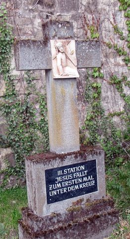
Kreuzweg beim ehemaligen Chorturm - 3. Station
Religious Buildings Wayside Shrines and Stations of the Cross ID 57205
-
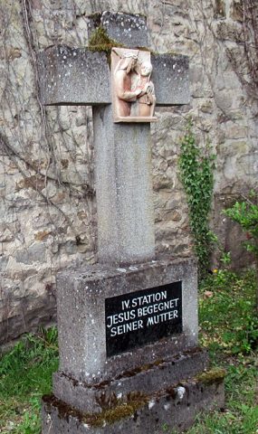
Kreuzweg beim ehemaligen Chorturm - 4. Station
Religious Buildings Wayside Shrines and Stations of the Cross ID 57206
-
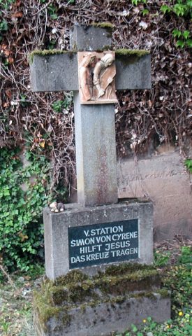
Kreuzweg beim ehemaligen Chorturm - 5. Station
Religious Buildings Wayside Shrines and Stations of the Cross ID 57207
-
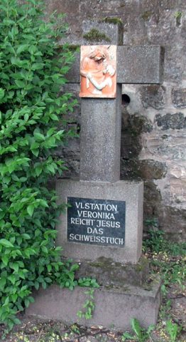
Kreuzweg beim ehemaligen Chorturm - 6. Station
Religious Buildings Wayside Shrines and Stations of the Cross ID 57208
-
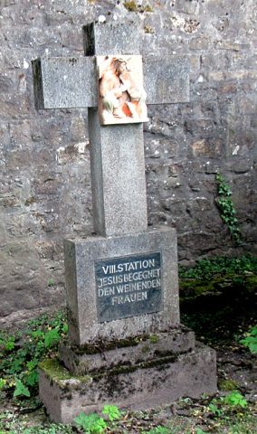
Kreuzweg beim ehemaligen Chorturm - 7. Station
Religious Buildings Wayside Shrines and Stations of the Cross ID 57209
-
Kreuzweg beim ehemaligen Chorturm - 8. Station
Religious Buildings Wayside Shrines and Stations of the Cross ID 57210
-
Kreuzweg beim ehemaligen Chorturm - 9. Station
Religious Buildings Wayside Shrines and Stations of the Cross ID 57211
-
Marktort Irrel
Economy, Trade and Transport Market Towns ID 32472
-
Mühlsteinbruch am Heinzenberg
Economy, Trade and Transport Extraction and Processing of Raw Materials ID 24184
-
Oben am Eselsweg
Field Names ID 38317
-
Ober der Breitwies
Field Names ID 37018
-
Panzerwerk
Fortifications and Military Sites Fortresses and Bunkers ID 596
-
Rothenberg
Field Names ID 43666
-
Rotherhübel
Field Names ID 43665
-
Römische Siedlungsstelle
Settlements Settlements ID 12086
-
Römischer Steinbrunnen
Settlements Settlements ID 25901
-
Römisches Wohnhaus
Settlements Settlements ID 12919
-
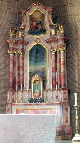
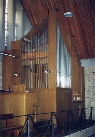
Sankt Ambrosius - Innenausstattung
Katholische Pfarrkirche
Religious Buildings Catholic Churches ID 51897
-
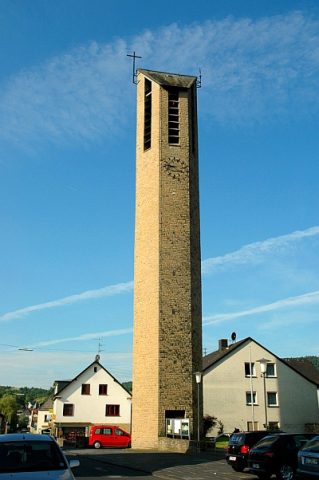
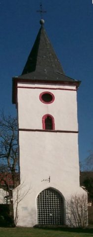
Sankt Ambrosius - ehemaliger Chorturm
Religious Buildings Catholic Churches ID 597
-
Schäfersgründchen
Field Names ID 45661
-
Siedlungsgrube
Settlements Settlements ID 25900
-
Sogenannte Keltenhöhle
Caves ID 40873
-
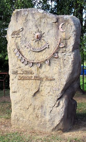
Sonnenuhr
Markers and Monuments Works of Art ID 51898
-
Unten am Eselsweg
Field Names ID 38316