Trier-Land
3,433 heritage sites in the collective municipality of Trier-Land in the Kulturdatenbank Region Trier.
The map shows all 3,433 results.
-
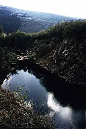
Ehemalige Eisenerzgrube
Economy, Trade and Transport Extraction and Processing of Raw Materials ID 47735
-
Ehemalige Erzgrube Bischofsheim - Tiefer Stollen
Economy, Trade and Transport Extraction and Processing of Raw Materials ID 7398
-
Ehemaliger Basaltsteinbruch
Economy, Trade and Transport Extraction and Processing of Raw Materials ID 57445
-
Erste Erwähnung als Hockweiler
Place Names / Local History ID 2455
-
Gingelsrech
Field Names ID 29621
-
Grufloch
Field Names ID 44971
-
In Gruf
Field Names ID 45450
-
In Gruf
Field Names ID 45451
-
In den Zwergfeldern
Field Names ID 36596
-
Langfuhr
Field Names ID 34333
-
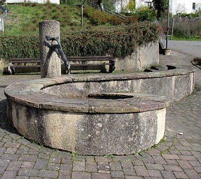
Laufbrunnen vor Kirche
Fountains and Wells ID 52409
-
Morgenlängten
Field Names ID 29215
-
Ober Gruf
Field Names ID 45624
-
Ober den Morgenlängten
Field Names ID 29250
-
Posbungerten
Field Names ID 28080
-
Sieben Morgen
Field Names ID 29205
-
Sperbelnbungert
Field Names ID 28173
-
Steinbruch am Silbersee
Economy, Trade and Transport Extraction and Processing of Raw Materials ID 2471
-
Stollen - Versuch auf Blei- und Kupfererze
Economy, Trade and Transport Extraction and Processing of Raw Materials ID 50557
-
Streckhof
Residential and Farm Buildings Farmhouses and Farm Buildings ID 57589
-
Unter den Zwergfeldern
Field Names ID 36597
-
Unterm Schleidborn
Field Names ID 30907
-
Unterm Schleidborn
Field Names ID 30909
-
Unterm Wingertsberg
Vineyard Sites ID 39193
-
Wappen der Gemeinde Hockweiler
Coats of Arms ID 4133
-
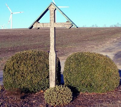
Wegekreuz
Religious Buildings Wayside Shrines and Stations of the Cross ID 48409
-
Wingertsberg
Vineyard Sites ID 39194
-
Über dem Wingertsberg
Vineyard Sites ID 39195
-
Grufhüwel
Field Names ID 44969
-
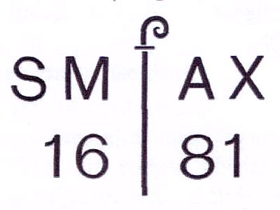
Felsinschrift von 1681
Markers and Monuments Inscriptions ID 39603
-
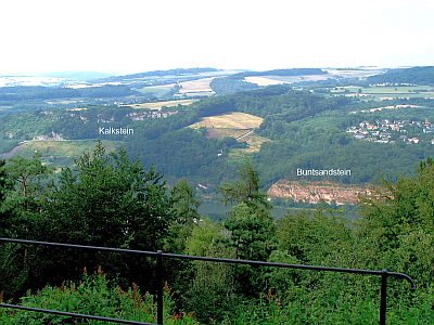
Igeler Verwerfung - Buntsandsteinfelsen
Geological Features ID 18577
-
Igeler Verwerfung - Kalksteinfelsen
Geological Features ID 39601
-
Alter Pfarrhof
Residential and Farm Buildings Farmhouses and Farm Buildings ID 35041
-
Am Kummerthal ober der Straße 2. Gewann
Field Names ID 51536
-
Am Kummerthal ober der Straße 4. Gewann
Field Names ID 51532
-
Am Kummerthal unter der Straße 1. Gewann
Field Names ID 51528
-
Am Kummerthal unter der Straße 2. Gewann
Field Names ID 51529
-
Am Kummerthal unter der Straße 3. Gewann
Field Names ID 51533
-
Am Kummerthal unter der Straße 4. Gewann
Field Names ID 51534
-
Am Kummerthal unter der Straße 5. Gewann
Field Names ID 51537
-
Auf dem Leim an der Liersberger Grenze
Field Names ID 48209
-
Auf dem Leim bei Körbel
Field Names ID 48210
-
Auf der Jott beim Hauseborn
Field Names ID 30940
-
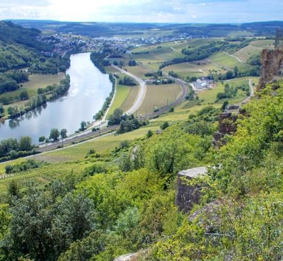
Aussichtspunkt Moselblick am Igeler Sprung
Viewpoints ID 48442
-
Aussichtspunkt Richardshöhe
Viewpoints ID 33102
-
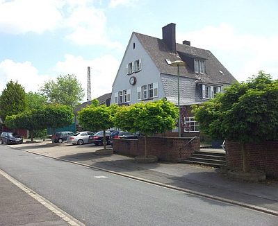
Bahnhofsgebäude
Engineering Structures and Industrial Sites Railways ID 35040
-
Beim Gruthenhäuschen
Field Names ID 44290