Trier-Land
3,433 heritage sites in the collective municipality of Trier-Land in the Kulturdatenbank Region Trier.
The map shows all 3,433 results.
-
Jüdische Geschichte
Place Names / Local History Jewish History ID 25101
-
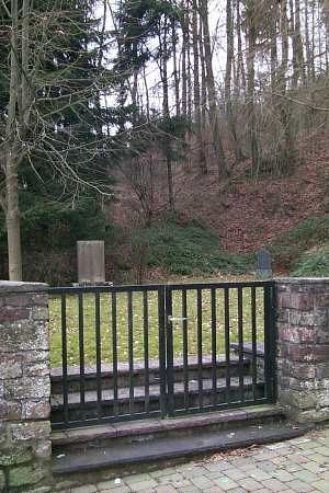
Jüdischer Friedhof
Parks, Gardens and Cemeteries Jewish Cemeteries ID 2842
-
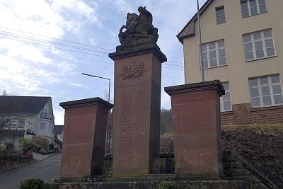
Kriegerdenkmal
Markers and Monuments War Memorials ID 13725
-
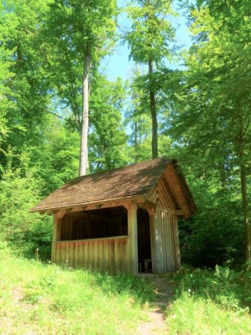
Kryptomeria-Hütte
Viewpoints ID 49522
-
Körpergrab der Hunsrück-Eifel-Kultur
Settlements Settlements ID 23858
-
Marktort Aach
Economy, Trade and Transport Market Towns ID 25933
-
Nebengebäude einer Villa
Settlements Settlements ID 13023
-
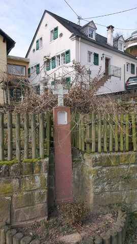
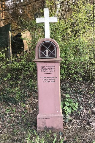
Nischenkreuz am Dorfbrunnen
Religious Buildings Wayside Shrines and Stations of the Cross ID 13719
-
Nischenkreuz am Parallelweg zur Landesstraße 44
Religious Buildings Wayside Shrines and Stations of the Cross ID 13724
-
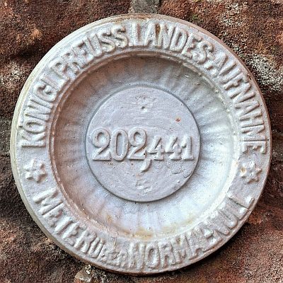
Nivellements-Nummernbolzen
Markers and Monuments Surveying ID 50567
-
Oben auf dem Hungerberg
Field Names ID 39016
-
Ober der Steinkaul
Field Names ID 27706
-
Obere Vogelsang
Field Names ID 42585
-
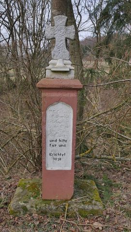
Pfeilerkreuz nahe dem alten Kirchhof
Religious Buildings Wayside Shrines and Stations of the Cross ID 13720
-
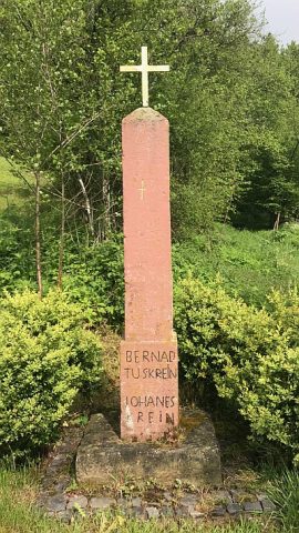
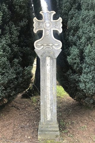
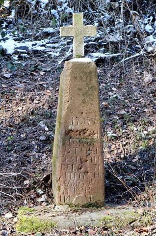
Pfeilerschaftkreuz
Religious Buildings Wayside Shrines and Stations of the Cross ID 25343
-
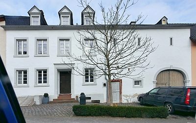
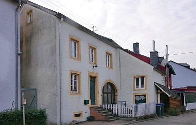
Quereinhaus
Residential and Farm Buildings Farmhouses and Farm Buildings ID 13722
-
Quereinhaus
Residential and Farm Buildings Farmhouses and Farm Buildings ID 13723
-
Römische Siedlung
Settlements Settlements ID 11816
-
Römische Siedlung
Settlements Settlements ID 11817
-
Römische Siedlung
Settlements Settlements ID 11818
-
Römische Siedlung
Settlements Settlements ID 11819
-
Römische Siedlung
Settlements Settlements ID 11820
-
Römischer Sandsteinbruch
Economy, Trade and Transport Extraction and Processing of Raw Materials ID 13001
-
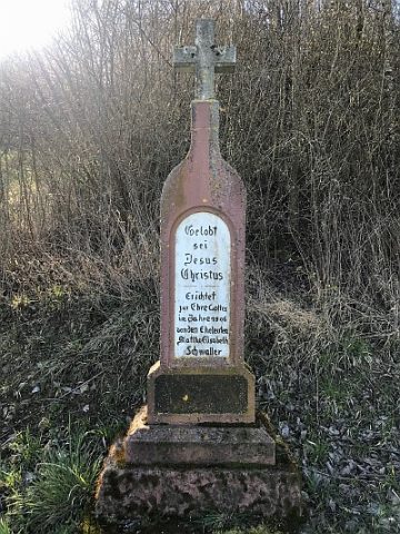
Schaftkreuz
Religious Buildings Wayside Shrines and Stations of the Cross ID 25342
-
Schaftkreuz südöstlich des Ortes
Religious Buildings Wayside Shrines and Stations of the Cross ID 13721
-
Schlimmfuhr
Field Names ID 27971
-
Stiftshof von Sankt Irminen
Residential and Farm Buildings Farmhouses and Farm Buildings ID 2904
-
Unter dem Bungert
Field Names ID 28116
-
Unterm Kirchgraben
Field Names ID 46401
-
Vermutete Tempelanlage
Religious Buildings Temples, Sanctuaries ID 12990
-
Wappen der Gemeinde Aach
Coats of Arms ID 51998
-
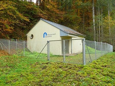
Wasserwerk Biewertal
Water Supply Waterworks ID 50206
-
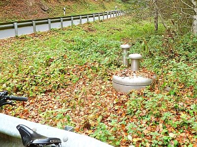
Wasserwerk Biewertal - Brunnenstube
Water Supply Waterworks ID 50207
-
Wegekreuz
Religious Buildings Wayside Shrines and Stations of the Cross ID 25125
-
Wegekreuz
Religious Buildings Wayside Shrines and Stations of the Cross ID 25344
-
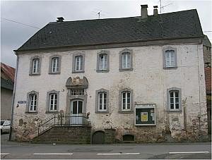
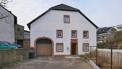
Wohnhaus
Ehemaliges Gemeindeschulhaus
Residential and Farm Buildings Farmhouses and Farm Buildings ID 2900
-
Die sieben Bildtafeln der Schmerzen Mariens
Sankt Maria, allerseligste Jungfrau
Religious Buildings Catholic Churches ID 53640
-
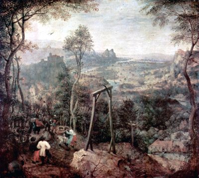
Gewann Galgenberg
Legal Monuments Execution Sites ID 25780
-
Römische Streufunde
Settlements Find Sites ID 12162
-
Römisches Brandgräberfeld
Burials Cremation Graves ID 12411
-
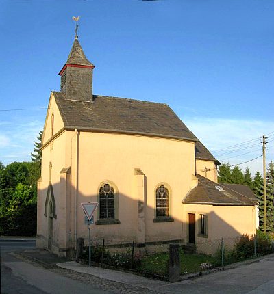
Sankt Maria, allerseligste Jungfrau
Katholische Filialkirche
Religious Buildings Catholic Churches ID 6690
-
Unterm Hungerberg
Field Names ID 39014
-
Steinknippe
Field Names ID 37364
-
Ehemaliges Kloster vom Guten Hirten
Jugendhilfezentrum Haus auf dem Wehrborn
Religious Buildings Monastic Complexes ID 23361
-
Orchideengebiet bei Aach
Natural Landscapes Orchid Sites ID 35523
-
Zwei Grabhügel
Burials Burial Mounds ID 12410
-
Ehemalige Schanze auf dem Geisberg
Fortifications and Military Sites Entrenchments ID 16796