Trier-Land
3,433 heritage sites in the collective municipality of Trier-Land in the Kulturdatenbank Region Trier.
The map shows all 3,433 results.
-
Grabhügel
Burials Burial Mounds ID 12447
-
Im Rothengrund
Field Names ID 46885
-
Laufbrunnen
Fountains and Wells ID 13712
-
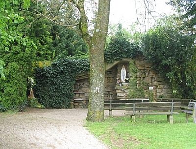
Lourdesgrotte im Pfarrgarten
Religious Buildings Marian Grottoes ID 24684
-
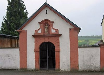
Marienkapelle am alten Kirchhof
Religious Buildings Chapels ID 13703
-
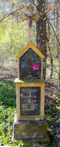
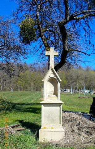
Nischenkreuz nordwestlich der Ortslage
Religious Buildings Wayside Shrines and Stations of the Cross ID 13701
-
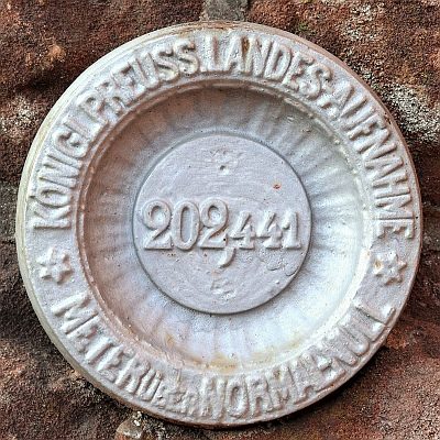
Nivellements-Nummernbolzen
Markers and Monuments Surveying ID 50568
-
Oben im Rodergrund
Field Names ID 46933
-
Ortsname / Ortsgeschichte Trierweiler
Place Names / Local History ID 2441
-
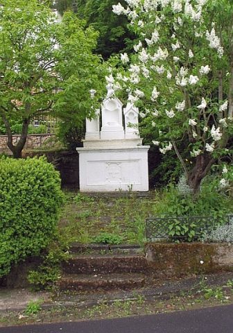
Prozessionsaltar
Religious Buildings Altars ID 13705
-
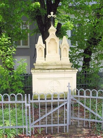
Prozessionsaltar
Religious Buildings Altars ID 13706
-
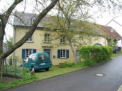
Quereinhaus
Residential and Farm Buildings Farmhouses and Farm Buildings ID 13707
-
Quereinhaus
Residential and Farm Buildings Farmhouses and Farm Buildings ID 13708
-
Quereinhaus
Residential and Farm Buildings Farmhouses and Farm Buildings ID 13709
-
Quereinhaus
Residential and Farm Buildings Farmhouses and Farm Buildings ID 13711
-
Römische Siedlungsfunde
Settlements Settlements ID 12450
-
Römische Siedlungsstelle
Settlements Settlements ID 12451
-
Römische Siedlungsstelle
Settlements Settlements ID 12455
-
Römische Siedlungsstelle
Settlements Settlements ID 12456
-
Römische Siedlungsstelle
Settlements Settlements ID 12457
-
Römische Siedlungsstelle
Settlements Settlements ID 12458
-
Römische Trümmerstätte
Settlements Settlements ID 12448
-
Römische Trümmerstätten
Settlements Settlements ID 12452
-
Römische Villenanlage
Settlements Settlements ID 12449
-
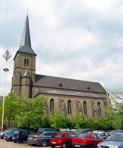
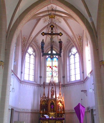
Sankt Dionysius - Innenausstattung
Katholische Pfarrkirche
Religious Buildings Catholic Churches ID 49331
-
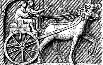
Spuren der Römerstraße
Economy, Trade and Transport Road Transport ID 4856
-
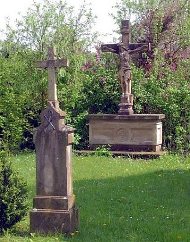
Steinkkreuz an der Marienkapelle
Am alten Kirchhof
Religious Buildings Wayside Shrines and Stations of the Cross ID 13704
-
Streufunde
Settlements Settlements ID 57675
-
Villa Rustica
Settlements Settlements ID 12453
-
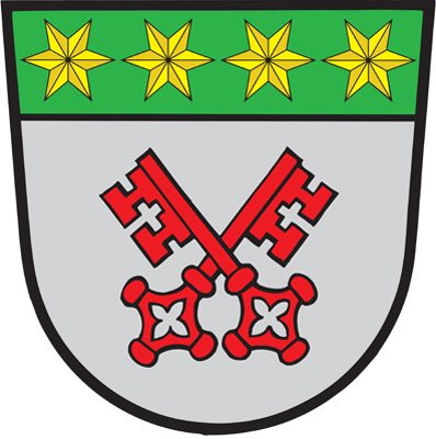
Wappen der Gemeinde Trierweiler
Coats of Arms ID 6738
-
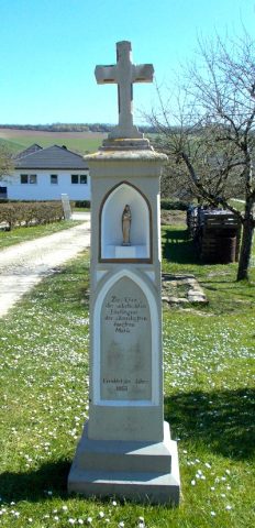
Wegekreuz
Religious Buildings Wayside Shrines and Stations of the Cross ID 26172
-
Wegekreuz
Religious Buildings Wayside Shrines and Stations of the Cross ID 33889
-
Westwall - Bunker
Baustärke B1 oder stärker
Fortifications and Military Sites Fortresses and Bunkers ID 21968
-
Westwall - Bunker
Baustärke B1 oder stärker
Fortifications and Military Sites Fortresses and Bunkers ID 21985
-
Westwall - Maschinengewehr-Schartenstand
Fortifications and Military Sites Fortresses and Bunkers ID 21969
-
Wüstung Eltershausen
Settlements Deserted Settlements ID 1236
-
Spuren der Römerstraße
Economy, Trade and Transport Road Transport ID 4855
-
Am Rödergraben
Field Names ID 42029
-
Auf Sehr am Rödergraben
Field Names ID 42048
-
Auf dem Hungerberg
Field Names ID 39011
-
Auf dem Hungerberg beim Furken Kreuz
Field Names ID 39013
-
Aufm Scheid
Field Names ID 28623
-
Brunnen
Fountains and Wells ID 9956
-
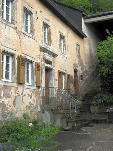
Ehemaliges Hofhaus Lindenstraße 11
Residential and Farm Buildings Farmhouses and Farm Buildings ID 9954
-
Erste Erwähnung als Odolvinga
Place Names / Local History ID 2443
-
Grund
Field Names ID 46765