Trier-Land
3,433 heritage sites in the collective municipality of Trier-Land in the Kulturdatenbank Region Trier.
The map shows all 3,433 results.
-
Westwall - Artillerie Beobachter-Stand
Fortifications and Military Sites Fortresses and Bunkers ID 21999
-
Westwall - Bunker
Baustärke B1 oder stärker
Fortifications and Military Sites Fortresses and Bunkers ID 21986
-
Westwall - Bunker
Baustärke B1 oder stärker
Fortifications and Military Sites Fortresses and Bunkers ID 21997
-
Westwall - Bunker
Baustärke B1 oder stärker
Fortifications and Military Sites Fortresses and Bunkers ID 21998
-
Westwall - Gefechtsstand (Inf. Komp.führer)
Baustärke B1 oder stärker
Fortifications and Military Sites Fortresses and Bunkers ID 21987
-
Westwall - Maschinengewehr-Doppelschartenstand
Fortifications and Military Sites Fortresses and Bunkers ID 21996
-
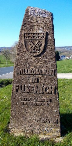
Willkommensstein Fusenich
Place Names / Local History Works of Art ID 49333
-
Auf dem Eisen
Field Names ID 36545
-
Mittelste Mühle am Udelfanger Bach
Engineering Structures and Industrial Sites Mills ID 18786
-
Oberste Mühle am Udelfanger Bach
Engineering Structures and Industrial Sites Mills ID 18787
-
Unterste Mühle am Udelfanger Bach
Engineering Structures and Industrial Sites Mills ID 18785
-
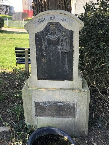
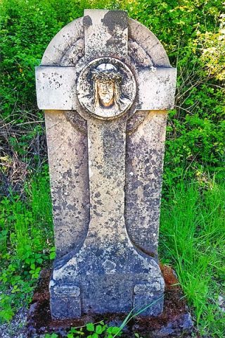
Pfeilerschaftkreuz
Religious Buildings Wayside Shrines and Stations of the Cross ID 49324
-
Auf dem Winkel
Field Names ID 39794
-
Ehemaliges Hofgut Nieder-Trierweiler-Hof
Residential and Farm Buildings Farmhouses and Farm Buildings ID 8020
-
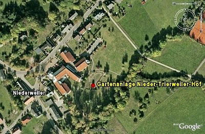
Gartenanlage Nieder-Trierweiler-Hof
Parks, Gardens and Cemeteries Baroque Gardens ID 8021
-
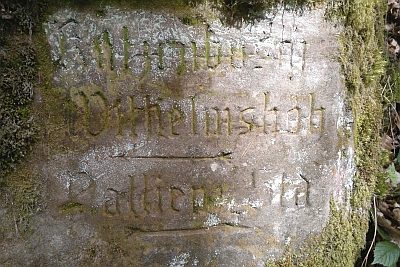
Wegestein beim Schützenhaus
Markers and Monuments Surveying ID 44011
-
Am Grunderweg
Field Names ID 46721
-
Auf der Wangertzbach
Vineyard Sites ID 41726
-
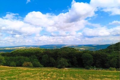
Aussichtspunkt Aacher Höhe
Viewpoints ID 53678
-
Aussichtspunkt Hungelsberg
Viewpoints ID 4256
-
Aussichtspunkt Hungerberg
Viewpoints ID 4257
-
Bei dem Kobenborn
Field Names ID 31072
-
Bei der Haselheck
Field Names ID 53065
-
Bei der Lehmkaul
Field Names ID 35892
-
Beim Kirchengarten
Field Names ID 46117
-
Ehemalige Kirche Sankt Johannes Evangelist
Ehemalige Pfarrkirche
Religious Buildings Catholic Churches ID 26078
-
Ehemaliger Steinbruch
Economy, Trade and Transport Extraction and Processing of Raw Materials ID 34738
-
Ehemaliger Steinbruch
Economy, Trade and Transport Extraction and Processing of Raw Materials ID 44561
-
Ehemaliger Steinbruch
Economy, Trade and Transport Extraction and Processing of Raw Materials ID 44563
-
Ehemaliger Steinbruch
Economy, Trade and Transport Extraction and Processing of Raw Materials ID 52381
-
Ehemaliges Wegekreuz
Religious Buildings Wayside Shrines and Stations of the Cross ID 3
-
Erste Erwähnung als Sarceni
Place Names / Local History ID 2442
-
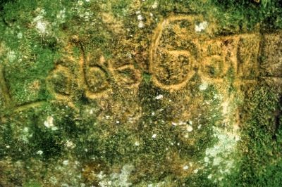
Felsinschrift
Markers and Monuments Inscriptions ID 57464
-
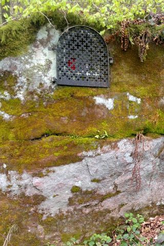
Felsnische mit Heiligenfigur
Religious Buildings Wayside Shrines and Stations of the Cross ID 43977
-
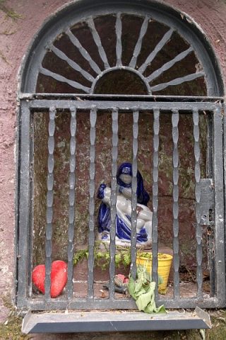
Felsnische mit Pietà
Religious Buildings Wayside Shrines and Stations of the Cross ID 43979
-
Frührömische Ansiedlung
Settlements Settlements ID 12446
-
Gemeindenborn
Field Names ID 31050
-
Gewann Der Galgenberg
Legal Monuments Execution Sites ID 25775
-
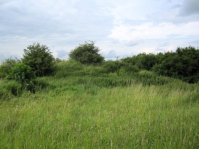
Großer Grabhügel
Burials Burial Mounds ID 12443
-
Historischer Aussichtspunkt
Viewpoints ID 57600
-
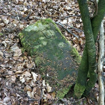
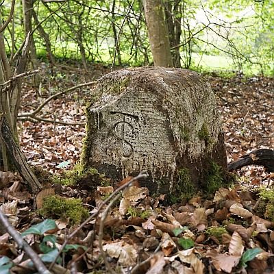
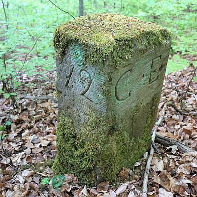
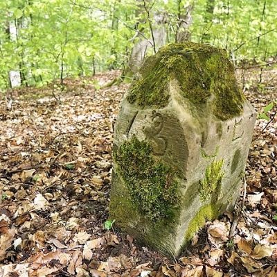
Historischer Grenzstein
Markers and Monuments Surveying ID 50531
-
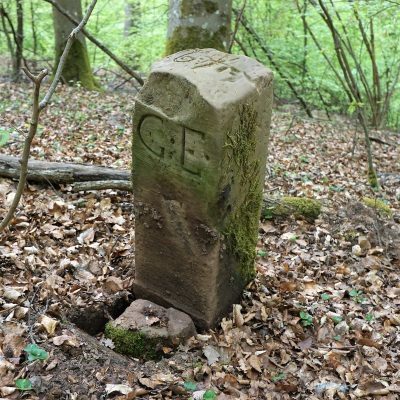
Historischer Grenzstein
Markers and Monuments Surveying ID 50532
-
Historischer Grenzstein
Markers and Monuments Surveying ID 50533
-
Historischer Grenzstein
Markers and Monuments Surveying ID 50534
-
Historischer Grenzstein
Markers and Monuments Surveying ID 50535
-
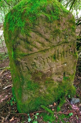
Historischer Wegestein Katzenbusch
Markers and Monuments Surveying ID 55109
-
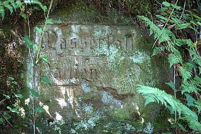
Historischer Wegestein am Wasserfall
Markers and Monuments Surveying ID 44576