Wittlich-Land
3,151 heritage sites in the collective municipality of Wittlich-Land in the Kulturdatenbank Region Trier.
The map shows all 3,151 results.
-
Streckhof
Residential and Farm Buildings Farmhouses and Farm Buildings ID 15598
-
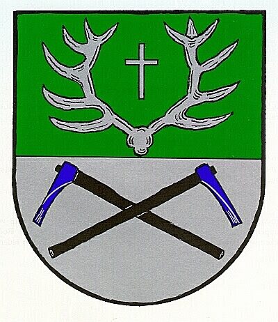
Wappen der Gemeinde Hupperath
Coats of Arms ID 7867
-
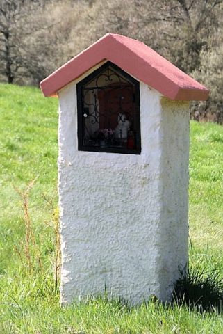
Wegekreuz
Religious Buildings Wayside Shrines and Stations of the Cross ID 15600
-
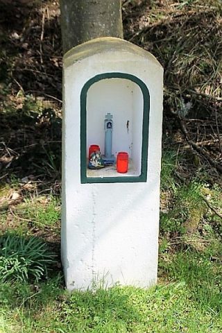
Wegekreuz
Religious Buildings Wayside Shrines and Stations of the Cross ID 26398
-
Wegekreuz
Religious Buildings Wayside Shrines and Stations of the Cross ID 26399
-
Wegekreuz
Religious Buildings Wayside Shrines and Stations of the Cross ID 26400
-
Wegekreuz
Religious Buildings Wayside Shrines and Stations of the Cross ID 26401
-
Wohnhaus
Residential and Farm Buildings Farmhouses and Farm Buildings ID 15595
-
Ranzenmühle an der Salm
Engineering Structures and Industrial Sites Mills ID 7766
-
Heiligenhäuschen
Religious Buildings Wayside Shrine Houses ID 26363
-
Heiligenhäuschen
Religious Buildings Wayside Shrine Houses ID 26364
-
Sauerwiesenhöhe
Field Names ID 34416
-
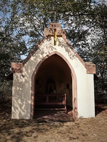
Wegekapelle am Helenenhof
Religious Buildings Chapels ID 15055
-
Aussichtspunkt Burgblick
Viewpoints ID 35984
-
Beienpesch
Field Names ID 27220
-
Ehemalige Sandgrube
Economy, Trade and Transport Extraction and Processing of Raw Materials ID 34720
-
Ehemalige Schule
Educational Institutions Schools ID 15345
-
Ehemaliger Kaisergarten
Parks, Gardens and Cemeteries Commemorative Plantings ID 18890
-
Feldkapelle
Religious Buildings Chapels ID 16738
-
Geisborn
Field Names ID 31687
-
Geisbornerwies
Field Names ID 31690
-
Hasenwieschen
Field Names ID 53100
-
Heiligenhäuschen am westlichen Ortsrand
Religious Buildings Wayside Shrine Houses ID 15056
-
Heiligenhäuschen mit Pietà
Religious Buildings Wayside Shrine Houses ID 16737
-
Hinterst Pfaffental
Field Names ID 28991
-
Kehr
Field Names ID 38101
-
Kohlpesch
Field Names ID 27221
-
Kreuzigungsbildstock auf dem Dorfplatz
Religious Buildings Wayside Shrines and Stations of the Cross ID 1607
-
Krichelhöhe
Field Names ID 43967
-
Krumme Furch
Field Names ID 42500
-
Lagerdriesch
Field Names ID 29560
-
Limmerborn
Springs ID 13495
-
Meierseck
Field Names ID 38536
-
Missionskreuz am Kirchenportal
Katholische Filialkirche
Religious Buildings Wayside Shrines and Stations of the Cross ID 15344
-
Oberm Beienborn
Field Names ID 31704
-
Oberst Meiersbach
Field Names ID 38535
-
Oberst Pfaffental
Field Names ID 29018
-
Risselborn
Field Names ID 31699
-
Risselborn am Schladter Weg
Field Names ID 31693
-
Römerzeitliche Funde
Settlements Find Sites ID 12034
-
Römische Siedlungsreste auf dem Huhnenkopf
Settlements Settlements ID 4743