Localités · Période celtique / romaine
Römischer Siedlungsplatz

Classification
- Catégorie
- Habitat
- Type d'objet
- Localités
- Date
- Circa 500 vor Chr. bis circa 500 nach Chr.
- Période
- Période celtique / romaine
Localisation
- Arrondissement
- Bernkastel-Wittlich
- Communauté de communes
- Bernkastel-Kues
- Commune
- Hochscheid
- Lieu-dit
- Unterbirkenbruch
- Coordonnées
- WGS 84 : 49.867647, 7.240298 (Position : exacte) WGS 84 : 49° 52′ 03,5″ N, 7° 14′ 25,1″ E UTM 32 (ETRS89) : E 373545 · N 5525400
Sources
Sources des données
- Leipziger online-Beiträge zur Ur- und Frühgeschichtlichen Archäologie 31. Herausgegeben von Sabine Rieckhoff, Wolf-Rüdiger Teegen und Sabine Wolfram. Leipzig 2008. ISSN 1612-4227. http://www.uni-leipzig.de
Sur Internet
Crédits photos
- Image 1: © Lothar Monshausen, Fotostream http://www.flickr.com/photos/lomo56/tags/meteorite/
Dernière modification : 21 juil. 2010 Identifiant de l'objet : 18674
https://kulturdb.de/fr/objekt/18674-hochscheid-roemischer-siedlungsplatz
À proximité
Les objets les plus proches
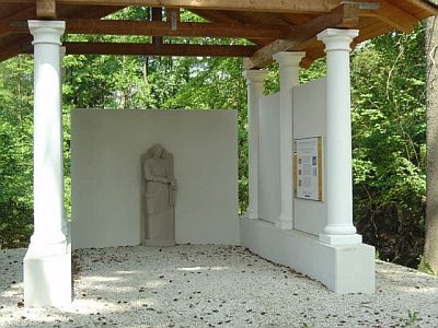 640 m
Temples, sanctuaires
Pilgerheiligtum von Hochscheid - Sirona-Tempel
Pas d'image
920 m
Moulins
Ehemalige Mühle am Altbach
Pas d'image
1 000 m
Moulins
Ehemalige Kuhnenmühl am Altbach
Pas d'image
1 000 m
Moulins
Hochscheidermühle
 1,0 km
Tourbières de source
Oberbirkenbruch und Unterbirkenbruch
Pas d'image
1,0 km
Lieux-dits
Im untersten Grund
Pas d'image
1,1 km
Lieux-dits
In der Steinkaul
Pas d'image
1,4 km
Lieux-dits