Fontaines et puits · Non daté
Ramstein Brunnen 7


Classification
- Catégorie
- Fontaines et puits
- Date
- Undatiert
- Période
- Non daté
Localisation
- Arrondissement
- Trier-Saarburg
- Communauté de communes
- Trier-Land
- Commune
- Kordel
- Localité / emplacement
- Burg Ramstein
- Lieu-dit
- Gegen der Laufbach
- Coordonnées
- WGS 84 : 49.822152, 6.653156 (Position : exacte) WGS 84 : 49° 49′ 19,7″ N, 6° 39′ 11,4″ E UTM 32 (ETRS89) : E 331197 · N 5521499
Sources
Sources des données
- [1] GeoPortal des Landes Rheinland-Pfalz. http://www.geoportal.rlp.de/
Sur Internet
Crédits photos
Dernière modification : 20 août 2012 Identifiant de l'objet : 24229
https://kulturdb.de/fr/objekt/24229-kordel-ramstein-brunnen-7
À proximité
Les objets les plus proches
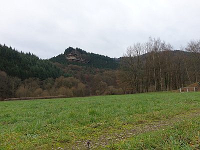 60 m
Lieux-dits
Gegen der Laufbach
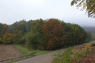 90 m
Lieux-dits
Unter der Hohlenlay
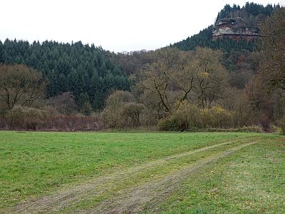 120 m
Lieux-dits
Unter der Geisley
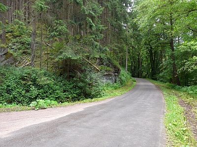 160 m
Inscriptions
Felsinschrift am Laufbach
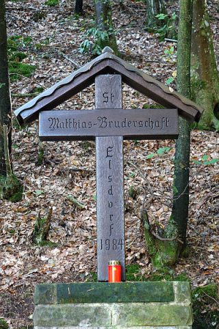 170 m
Itinéraires de pèlerinage
Pilgerkreuz am Laufbach
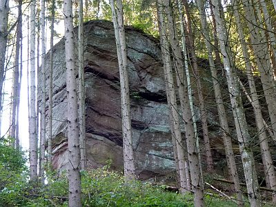 180 m
Rochers
Sandsteinfelsen Elterley
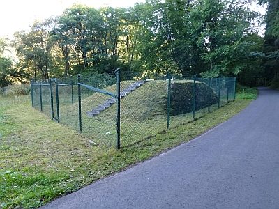 200 m
Fontaines et puits
Ramstein Brunnen 1
Pas d'image
200 m
Rochers