Localités · Période celtique / romaine
Römische Villenanlage

Classification
- Catégorie
- Habitat
- Type d'objet
- Localités
- Date
- Circa 500 vor Chr. bis circa 500 nach Chr.
- Période
- Période celtique / romaine
Localisation
- Arrondissement
- Trier-Saarburg
- Communauté de communes
- Schweich an der römischen Weinstraße
- Commune
- Pölich
- Rue
- Römerstraße 7
- Lieu-dit
- Ortslage
- Coordonnées
- WGS 84 : 49.797150, 6.847570 (Position : exacte) WGS 84 : 49° 47′ 49,7″ N, 6° 50′ 51,3″ E UTM 32 (ETRS89) : E 345100 · N 5518300
Sources
Sources des données
- Römische Wasserleitung und Villa, Lageplan, Landesmuseum Trier. In: Denkmaltopographie Bundesrepublik Deutschland. Kulturdenkmäler in Rheinland-Pfalz. Band 12.2 Kreis Trier-Saarburg. Wernersche Verlagsgesellschaft mbH, Worms. ISBN 3-88462-110-6 (1. Auflage 1994)
Sur Internet
Crédits photos
- Image 1: © Norbert Kutscher, Waldweiler, 2014.
Dernière modification : 29 juil. 2025 Identifiant de l'objet : 34387
https://kulturdb.de/fr/objekt/34387-poelich-roemische-villenanlage
À proximité
Les objets les plus proches
Pas d'image
30 m
Tumulus
Merowingerzeitliche Körpergräber
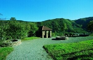 40 m
Approvisionnement en eau
Römische Wasserleitung (Qanat) - 1. Abschnitt
40 m
Approvisionnement en eau
Römische Wasserleitung (Qanat) - 2. Abschnitt
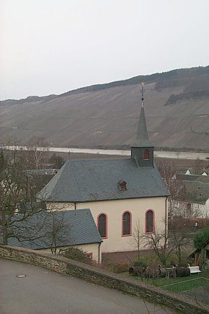 40 m
Églises catholiques
Sankt Andreas
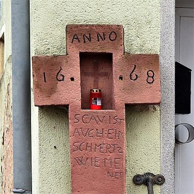 70 m
Oratoires et stations du chemin de croix
Wegekreuz
Pas d'image
80 m
Fermes et bâtiments agricoles
Hofanwesen
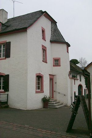 90 m
Fermes et bâtiments agricoles
Kanzlerhof
Pas d'image
90 m
Lieux-dits