Settlements · Celtic / Roman Period
Römische Villenanlage

Classification
- Subject area
- Archaeological Monuments
- Category
- Settlements
- Object type
- Settlements
- Date
- Circa 500 vor Chr. bis circa 500 nach Chr.
- Period
- Celtic / Roman Period
Location
- District
- Trier-Saarburg
- Collective municipality
- Schweich an der römischen Weinstraße
- Municipality
- Pölich
- Street
- Römerstraße 7
- Field name
- Ortslage
- Coordinates
- WGS 84: 49.797150, 6.847570 (Position: exact) WGS 84: 49° 47′ 49.7″ N, 6° 50′ 51.3″ E UTM 32 (ETRS89): E 345100 · N 5518300
Sources
Data sources
- Römische Wasserleitung und Villa, Lageplan, Landesmuseum Trier. In: Denkmaltopographie Bundesrepublik Deutschland. Kulturdenkmäler in Rheinland-Pfalz. Band 12.2 Kreis Trier-Saarburg. Wernersche Verlagsgesellschaft mbH, Worms. ISBN 3-88462-110-6 (1. Auflage 1994)
On the internet
Picture credits
- Picture 1: © Norbert Kutscher, Waldweiler, 2014.
Last edited: 29 Jul 2025 Object ID: 34387
https://kulturdb.de/en/objekt/34387-poelich-roemische-villenanlage
Nearby
The nearest objects
No picture
30 m
Burial Mounds
Merowingerzeitliche Körpergräber
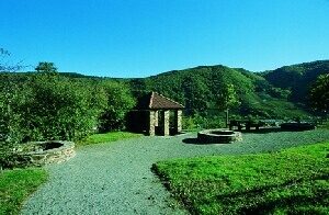 40 m
Water Supply
Römische Wasserleitung (Qanat) - 1. Abschnitt
40 m
Water Supply
Römische Wasserleitung (Qanat) - 2. Abschnitt
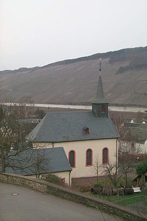 40 m
Catholic Churches
Sankt Andreas
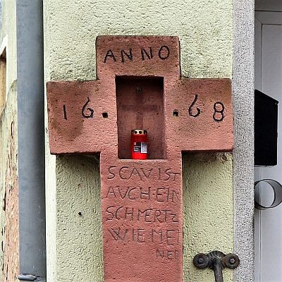 70 m
Wayside Shrines and Stations of the Cross
Wegekreuz
No picture
80 m
Farmhouses and Farm Buildings
Hofanwesen
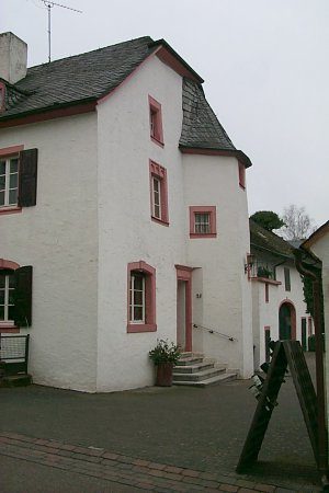 90 m
Farmhouses and Farm Buildings
Kanzlerhof
No picture
90 m
Field Names