Wayside Shrines and Stations of the Cross · Renaissance
Wegekreuz
- Listed monument


Description
This description is only available in German.
Translate with Google opens this page in Google Translate (external service)
An das Haus angelehntes, schlichtes, hohes Balkenkreuz mit kurzen Kreuzbalken und eingelassener Rechtecknische. Das Sandsteinkreuz auf Setzstein ist an den Kreuzbalken ANNO 1668 bezeichnet. Die Inschrift des für die Errichtungszeit typischen Kreuzes ist nicht vollständig und unverständlich. [1]
Classification
- Subject area
- Architectural and Art Monuments
- Category
- Religious Buildings
- Object type
- Wayside Shrines and Stations of the Cross
- Date
- 1668
- Period
- Renaissance
Location
- District
- Trier-Saarburg
- Collective municipality
- Schweich an der römischen Weinstraße
- Municipality
- Pölich
- Street
- Vor Hauptstraße 21
- Field name
- Ortslage
- Coordinates
- WGS 84: 49.797540, 6.848400 (Position: exact) WGS 84: 49° 47′ 51.1″ N, 6° 50′ 54.2″ E UTM 32 (ETRS89): E 345161 · N 5518342
Sources
Data sources
- [1] Denkmaltopographie Bundesrepublik Deutschland. Kulturdenkmäler in Rheinland-Pfalz. Band 12.2 Kreis Trier-Saarburg. Wernersche Verlagsgesellschaft mbH, Worms. ISBN 3-88462-110-6 (1. Auflage 1994)
On the internet
Picture credits
Last edited: 29 Jul 2025 Object ID: 10142
https://kulturdb.de/en/objekt/10142-poelich-wegekreuz
Nearby
The nearest objects
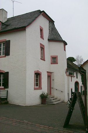 20 m
Farmhouses and Farm Buildings
Kanzlerhof
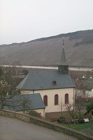 60 m
Catholic Churches
Sankt Andreas
Farmhouses and Farm Buildings
Hofanwesen
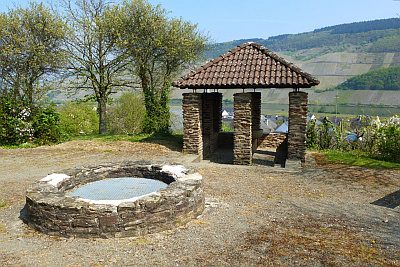 70 m
Settlements
Römische Villenanlage
Burial Mounds
Merowingerzeitliche Körpergräber
Farmhouses and Farm Buildings
Hofanwesen
 110 m
Water Supply
Römische Wasserleitung (Qanat) - 1. Abschnitt
Rectories