Burial Mounds · Merovingian Period
Merowingerzeitliche Körpergräber
- Listed monument


© GeoBasis-DE / LVermGeoRP, dl-de/by-2-0
There is no picture of this object yet. Do you have a photo that you would like to make available to the Kulturdatenbank? Submit a picture
Description
This description is only available in German.
Translate with Google opens this page in Google Translate (external service)
Der bereich der römischen Villa nahm im 7./8. Jahrhundert einen fränkischen Friedhof auf.
Classification
- Subject area
- Archaeological Monuments
- Category
- Burials
- Object type
- Burial Mounds
- Date
- 7./8. Jahrhundert
- Period
- Merovingian Period
Location
- District
- Trier-Saarburg
- Collective municipality
- Schweich an der römischen Weinstraße
- Municipality
- Pölich
- Street
- Römerstraße 5
- Field name
- Ortslage
- Coordinates
- WGS 84: 49.796900, 6.847580 (Position: exact) WGS 84: 49° 47′ 48.8″ N, 6° 50′ 51.3″ E UTM 32 (ETRS89): E 345100 · N 5518272
Sources
Data sources
- Römische Wasserleitung und Villa, Lageplan, Landesmuseum Trier. In: Denkmaltopographie Bundesrepublik Deutschland. Kulturdenkmäler in Rheinland-Pfalz. Band 12.2 Kreis Trier-Saarburg. Wernersche Verlagsgesellschaft mbH, Worms. ISBN 3-88462-110-6 (1. Auflage 1994)
On the internet
Last edited: 29 Jul 2025 Object ID: 34386
https://kulturdb.de/en/objekt/34386-poelich-merowingerzeitliche-koerpergraeber
Nearby
The nearest objects
 30 m
Settlements
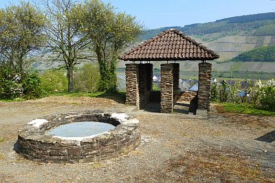
Römische Villenanlage
 40 m
Water Supply
Römische Wasserleitung (Qanat) - 1. Abschnitt
60 m
Water Supply
Römische Wasserleitung (Qanat) - 2. Abschnitt
 70 m
Catholic Churches
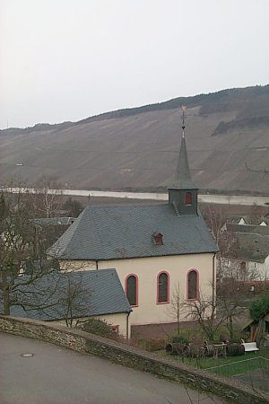
Sankt Andreas
Farmhouses and Farm Buildings
Hofanwesen
Rectories
Pfarrhaus
 90 m
Wayside Shrines and Stations of the Cross
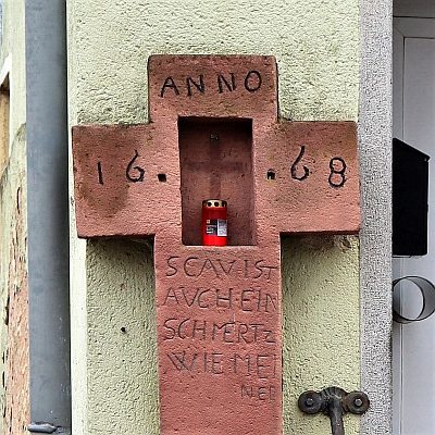
Wegekreuz
 110 m
Farmhouses and Farm Buildings