Toponymie / Histoire locale · Préhistoire / Protohistoire
Ortsgeschichte Steineberg

Description
La description n'est disponible qu'en allemand.
Traduire avec Google ouvre la page dans Google Traduction (service externe)
Schon in der frühen Eisenzeit, etwa 500 vor Chr., fand man am Keltenring bei Steineberg ein recht umfangreiches Gräberfeld.
Classification
- Thème
- Histoire
- Catégorie
- Toponymie / Histoire locale
- Date
- Bis circa 500 vor Chr.
- Période
- Préhistoire / Protohistoire
Localisation
- Arrondissement
- Vulkaneifel
- Communauté de communes
- Daun
- Commune
- Steineberg
- Lieu-dit
- Ortslage
- Coordonnées
- WGS 84 : 50.179033, 6.913753 (Position : dans la localité) WGS 84 : 50° 10′ 44,5″ N, 6° 54′ 49,5″ E UTM 32 (ETRS89) : E 351047 · N 5560620
Sources
Sur Internet
Crédits photos
- Image 1: © Dorothea Witter-Rieder, Konz, 2005
Dernière modification : 29 juin 2005 Identifiant de l'objet : 3449
https://kulturdb.de/fr/objekt/3449-steineberg-ortsgeschichte-steineberg
À proximité
Les objets les plus proches
 moins de 10 m
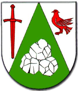
Armoiries
Wappen der Gemeinde Steineberg
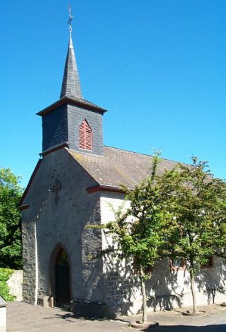
Chapelles
Kapelle am Jugendzentrum
Fontaines et puits
Pumpbrunnen
 100 m
Églises catholiques
Sankt Franziskus
Fontaines et puits
Ehemaliger Pumpbrunnen
Tumulus
Grabhügel
Oratoires et stations du chemin de croix
Wegekreuz
Oratoires et stations du chemin de croix