Place Names / Local History · Prehistory / Early History
Ortsgeschichte Steineberg

Description
This description is only available in German.
Translate with Google opens this page in Google Translate (external service)
Schon in der frühen Eisenzeit, etwa 500 vor Chr., fand man am Keltenring bei Steineberg ein recht umfangreiches Gräberfeld.
Classification
- Subject area
- History
- Category
- Place Names / Local History
- Date
- Bis circa 500 vor Chr.
Location
- District
- Vulkaneifel
- Collective municipality
- Daun
- Municipality
- Steineberg
- Field name
- Ortslage
- Coordinates
- WGS 84: 50.179033, 6.913753 (Position: within the village) WGS 84: 50° 10′ 44.5″ N, 6° 54′ 49.5″ E UTM 32 (ETRS89): E 351047 · N 5560620
Sources
On the internet
Picture credits
- Picture 1: © Dorothea Witter-Rieder, Konz, 2005
Last edited: 29 Jun 2005 Object ID: 3449
https://kulturdb.de/en/objekt/3449-steineberg-ortsgeschichte-steineberg
Nearby
The nearest objects
 less than 10 m
Coats of Arms
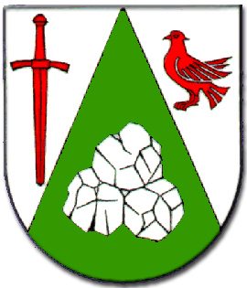
Wappen der Gemeinde Steineberg
Chapels
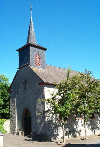
Kapelle am Jugendzentrum
Fountains and Wells
Pumpbrunnen
 100 m
Catholic Churches
Sankt Franziskus
Fountains and Wells
Ehemaliger Pumpbrunnen
Burial Mounds
Grabhügel
Wayside Shrines and Stations of the Cross
Wegekreuz
Wayside Shrines and Stations of the Cross