Fountains and Wells · Historicism / Art Nouveau
Ehemaliger Pumpbrunnen
- Listed monument


© GeoBasis-DE / LVermGeoRP, dl-de/by-2-0
There is no picture of this object yet. Do you have a photo that you would like to make available to the Kulturdatenbank? Submit a picture
Classification
- Subject area
- Architectural and Art Monuments
- Category
- Fountains and Wells
- Date
- Zweite Hälfte des 19. Jahrhunderts
Location
- District
- Vulkaneifel
- Collective municipality
- Daun
- Municipality
- Steineberg
- Street
- Ecke Hauptstraße / Im Brühl
- Field name
- Ortslage
- Coordinates
- WGS 84: 50.180040, 6.914120 (Position: exact) WGS 84: 50° 10′ 48.1″ N, 6° 54′ 50.8″ E UTM 32 (ETRS89): E 351076 · N 5560731
Sources
Data sources
- [1]Denkmalliste der Generaldirektion Kulturelles Erbe, Rheinland-Pfalz; 2013.
On the internet
Last edited: 21 Sep 2015 Object ID: 39467
https://kulturdb.de/en/objekt/39467-steineberg-ehemaliger-pumpbrunnen
Nearby
The nearest objects
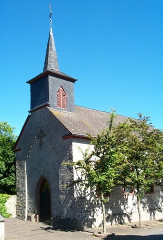 20 m
Catholic Churches
Sankt Franziskus
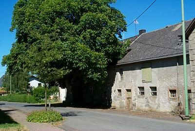 120 m
Place Names / Local History
Ortsgeschichte Steineberg
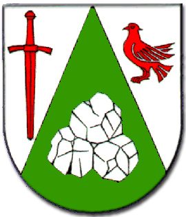 120 m
Coats of Arms
Wappen der Gemeinde Steineberg
No picture
130 m
Wayside Shrines and Stations of the Cross
Wegekreuz
No picture
130 m
Chapels
Kapelle am Jugendzentrum
No picture
170 m
Fountains and Wells
Pumpbrunnen
No picture
230 m
Burial Mounds
Grabhügel
No picture
240 m
Field Names