Forteresses naturelles · Préhistoire / Protohistoire
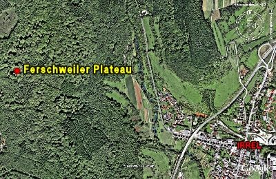
Ferschweiler Plateau
Abschnitt 10d

Description
La description n'est disponible qu'en allemand.
Traduire avec Google ouvre la page dans Google Traduction (service externe)
Auf einer Länge von 500 Meter folgen drei weitere ähnliche Einbuchtungen. Erkennbare Absicherungsspuren am Ende der Einschnitte waren nicht festzustellen. [1]
Classification
- Catégorie
- Fortifications et sites militaires
- Type d'objet
- Forteresses naturelles
- Date
- Circa 750 vor Chr. bis circa 450 vor Chr.
- Période
- Préhistoire / Protohistoire
Localisation
- Arrondissement
- Eifelkreis Bitburg-Prüm
- Communauté de communes
- Südeifel
- Commune
- Irrel
- Lieu-dit
- Beim großen Driesch
- Coordonnées
- WGS 84 : 49.848355, 6.438313 (Position : exacte) WGS 84 : 49° 50′ 54,1″ N, 6° 26′ 17,9″ E UTM 32 (ETRS89) : E 315845 · N 5524918
Sources
Sources des données
- [1] Vor- und frühgeschichtliche Burgwälle des Regierungsbezirkes Trier und des Kreises Birkenfeld. Von Karl-Heinz Koch und Reinhard Schindler. Selbstverlag des Rheinischen Landesmuseums Trier 1994. Online-Shop: www.landesmuseum-trier-shop.de
Sur Internet
Crédits photos
- Image 1: Google Earth
Dernière modification : 27 déc. 2007 Identifiant de l'objet : 5727
https://kulturdb.de/fr/objekt/5727-irrel-ferschweiler-plateau
À proximité
Les objets les plus proches
 80 m
Points de vue
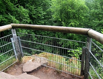
Aussichtsfelsen
 280 m
Sentiers pédagogiques
Geologischer Lehrpfad Teufelsschlucht
 320 m
Cormiers
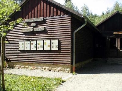
Speierling an der Waldlehrhütte
 320 m
Forteresses naturelles
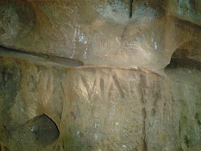
Ferschweiler Plateau - Bachschlucht
 340 m
Forteresses naturelles
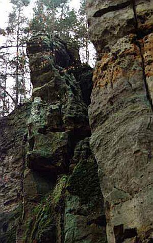
Ferschweiler Plateau - Sogenannter Via-Punkt
 340 m
Forteresses naturelles
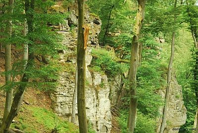
Ferschweiler Plateau - Teufelsschlucht
 350 m
Rochers
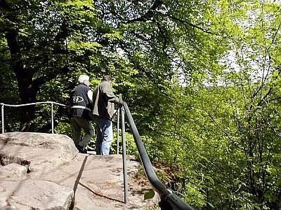
Teufelsschlucht
 410 m
Points de vue