Forteresses naturelles · Préhistoire / Protohistoire
Ferschweiler Plateau - Bachschlucht
Abschnitt 10c

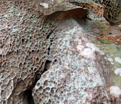
Description
La description n'est disponible qu'en allemand.
Traduire avec Google ouvre la page dans Google Traduction (service externe)
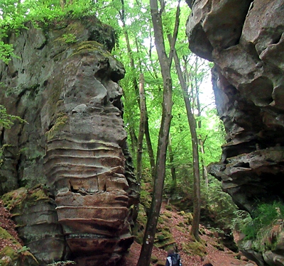
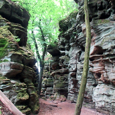
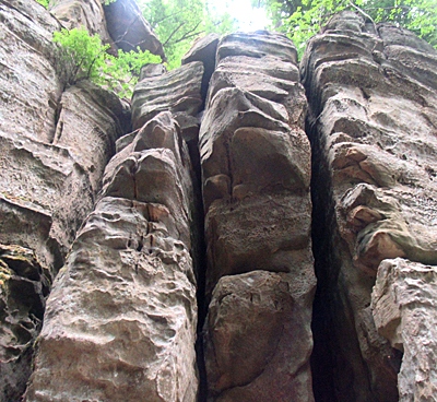
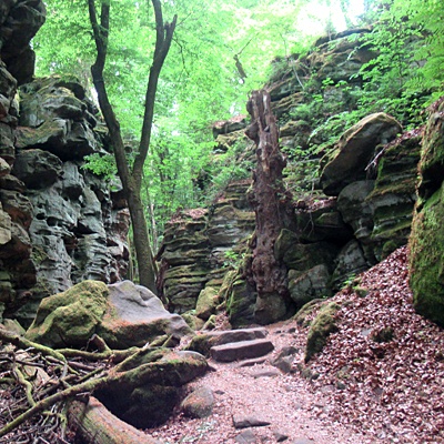
100 Meter südlich Via-Punkt, leicht nach Südwesten einziehende Bachschlucht mit hochaufragenden Felswänden. [1]
Classification
- Catégorie
- Fortifications et sites militaires
- Type d'objet
- Forteresses naturelles
- Date
- Circa 750 vor Chr. bis circa 450 vor Chr.
- Période
- Préhistoire / Protohistoire
Localisation
- Arrondissement
- Eifelkreis Bitburg-Prüm
- Communauté de communes
- Südeifel
- Commune
- Irrel
- Lieu-dit
- Beim großen Driesch
- Coordonnées
- WGS 84 : 49.851041, 6.436543 (Position : exacte) WGS 84 : 49° 51′ 03,7″ N, 6° 26′ 11,6″ E UTM 32 (ETRS89) : E 315728 · N 5525221
Sources
Sources des données
- [1] Vor- und frühgeschichtliche Burgwälle des Regierungsbezirkes Trier und des Kreises Birkenfeld. Von Karl-Heinz Koch und Reinhard Schindler. Selbstverlag des Rheinischen Landesmuseums Trier 1994. Online-Shop: www.landesmuseum-trier-shop.de
Sur Internet
Crédits photos
Dernière modification : 20 mai 2025 Identifiant de l'objet : 5729
https://kulturdb.de/fr/objekt/5729-irrel-ferschweiler-plateau-bachschlucht
À proximité
Les objets les plus proches
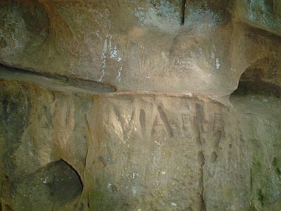 160 m
Forteresses naturelles
Ferschweiler Plateau - Sogenannter Via-Punkt
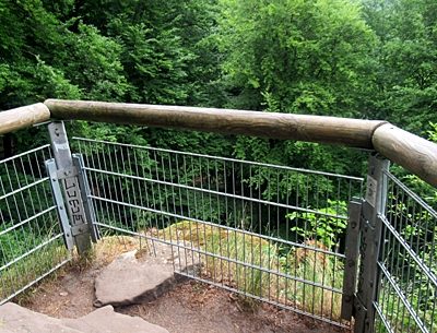 250 m
Points de vue
Aussichtsfelsen
Localités
Vermutet frührömische Siedlungsstelle
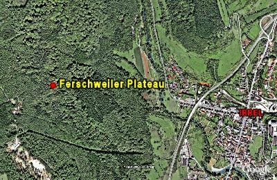 320 m
Forteresses naturelles
Ferschweiler Plateau
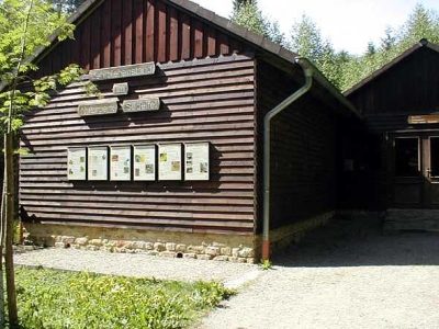 470 m
Sentiers pédagogiques
Geologischer Lehrpfad Teufelsschlucht
Extraction et transformation de matières premières
Mühlsteinbruch am Heinzenberg
 510 m
Cormiers
Speierling an der Waldlehrhütte
Grottes