Forteresses naturelles · Préhistoire / Protohistoire
Ferschweiler Plateau
Abschnitt 31

Description
La description n'est disponible qu'en allemand.
Traduire avec Google ouvre la page dans Google Traduction (service externe)
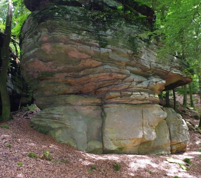
Lücke im Randwall. Das Gelände bildet bis zur Hangkante eine breitere Fläche mit herausragenden Felsköpfen. [1]
Classification
- Catégorie
- Fortifications et sites militaires
- Type d'objet
- Forteresses naturelles
- Date
- Circa 750 vor Chr. bis circa 450 vor Chr.
- Période
- Préhistoire / Protohistoire
Localisation
- Arrondissement
- Eifelkreis Bitburg-Prüm
- Communauté de communes
- Südeifel
- Commune
- Nusbaum
- Lieu-dit
- Im Glaubersborn
- Coordonnées
- WGS 84 : 49.876463, 6.359114 (Position : exacte) WGS 84 : 49° 52′ 35,3″ N, 6° 21′ 32,8″ E UTM 32 (ETRS89) : E 310262 · N 5528240
Sources
Sources des données
- [1] Vor- und frühgeschichtliche Burgwälle des Regierungsbezirkes Trier und des Kreises Birkenfeld. Von Karl-Heinz Koch und Reinhard Schindler. Selbstverlag des Rheinischen Landesmuseums Trier 1994. Online-Shop: www.landesmuseum-trier-shop.de
Sur Internet
Crédits photos
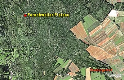
- Image 1: Google Earth
Dernière modification : 27 déc. 2007 Identifiant de l'objet : 7352
https://kulturdb.de/fr/objekt/7352-nusbaum-ferschweiler-plateau
À proximité
Les objets les plus proches
Extraction et transformation de matières premières
Ehemaliger Steinbruch
Lieux-dits
Im Glaubersborn
 290 m
Forteresses naturelles
Ferschweiler Plateau
Lieux-dits
In der Schinddell
Forteresses naturelles
Ferschweiler Plateau - Schlucht
Forteresses naturelles
Ferschweiler Plateau - Wallücke
Forteresses naturelles
Ferschweiler Plateau
 480 m
Extraction et transformation de matières premières