Natural Fortresses · Prehistory / Early History
Ferschweiler Plateau
Abschnitt 31

Description
This description is only available in German.
Translate with Google opens this page in Google Translate (external service)
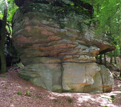
Lücke im Randwall. Das Gelände bildet bis zur Hangkante eine breitere Fläche mit herausragenden Felsköpfen. [1]
Classification
- Subject area
- Archaeological Monuments
- Object type
- Natural Fortresses
- Date
- Circa 750 vor Chr. bis circa 450 vor Chr.
Location
- District
- Eifelkreis Bitburg-Prüm
- Collective municipality
- Südeifel
- Municipality
- Nusbaum
- Field name
- Im Glaubersborn
- Coordinates
- WGS 84: 49.876463, 6.359114 (Position: exact) WGS 84: 49° 52′ 35.3″ N, 6° 21′ 32.8″ E UTM 32 (ETRS89): E 310262 · N 5528240
Sources
Data sources
- [1] Vor- und frühgeschichtliche Burgwälle des Regierungsbezirkes Trier und des Kreises Birkenfeld. Von Karl-Heinz Koch und Reinhard Schindler. Selbstverlag des Rheinischen Landesmuseums Trier 1994. Online-Shop: www.landesmuseum-trier-shop.de
On the internet
Picture credits
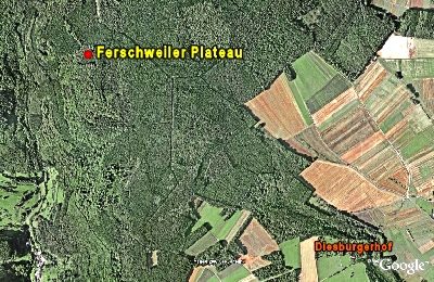
- Picture 1: Google Earth
Last edited: 27 Dec 2007 Object ID: 7352
https://kulturdb.de/en/objekt/7352-nusbaum-ferschweiler-plateau
Nearby
The nearest objects
Extraction and Processing of Raw Materials
Ehemaliger Steinbruch
Field Names
Im Glaubersborn
 290 m
Natural Fortresses
Ferschweiler Plateau
Field Names
In der Schinddell
Natural Fortresses
Ferschweiler Plateau - Schlucht
Natural Fortresses
Ferschweiler Plateau - Wallücke
Natural Fortresses
Ferschweiler Plateau
 480 m
Extraction and Processing of Raw Materials