Bernkastel-Wittlich
10,074 heritage sites in Bernkastel-Wittlich in the Kulturdatenbank Region Trier.
The map shows all 10,074 results.
-
Im Ochsenpesch
Field Names ID 27063
-
Im Riebenroth
Field Names ID 43449
-
In den Rödern
Field Names ID 42108
-
In der Hundskaul
Field Names ID 44500
-
Römische Mauerreste
Settlements Settlements ID 1915
-
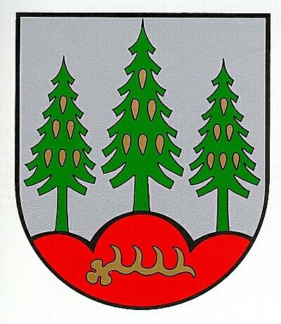
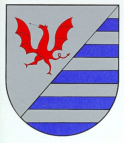
Wappen der Gemeinde Dierscheid
Coats of Arms ID 7856
-
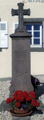
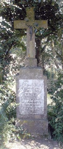
Wegekreuz
Religious Buildings Wayside Shrines and Stations of the Cross ID 15525
-
Auf dem Röder
Field Names ID 42120
-
Auf dem Wachsland
Field Names ID 46711
-
Auf den Sandkaulen
Field Names ID 40714
-
Aussichtspunkt
Viewpoints ID 33282
-
Beim Bottelborn
Field Names ID 31438
-
Beim Hockelborn
Field Names ID 31435
-
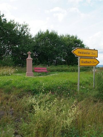
Bielenkreuz am Weg nach Gladbach
Religious Buildings Wayside Shrines and Stations of the Cross ID 14625
-
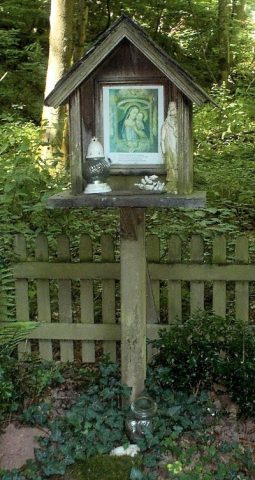
Bildstock am Weg nach Heckenmünster
Religious Buildings Wayside Shrines and Stations of the Cross ID 16695
-
Ehemalige Schule mit Glockenturm
Educational Institutions Schools ID 15470
-
Einzelner Grabhügel
Burials Burial Mounds ID 12170
-
Fundstellen tierischer Versteinerungen
Geological Features Fossils ID 51040
-
Fundstellen tierischer Versteinerungen
Geological Features Fossils ID 51042
-
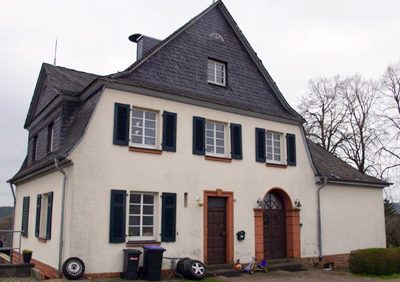
Hofgut
Residential and Farm Buildings Farmhouses and Farm Buildings ID 15469
-
In Rotherdener Kolwerwies
Field Names ID 43222
-
Kirchweg nach Heckenmünster
Economy, Trade and Transport Road Transport ID 7954
-
Kreuz nahe dem Jägerhaus Waidmannsruh
Religious Buildings Wayside Shrines and Stations of the Cross ID 14624
-
Römische Siedlungsstelle
Settlements Settlements ID 11921
-
Römische Siedlungsstelle
Settlements Settlements ID 11922
-
Römisches Brandgrab
Burials Cremation Graves ID 12370
-
Wappen der Gemeinde Dodenburg
Coats of Arms ID 7861
-
Wegekreuz
Religious Buildings Wayside Shrines and Stations of the Cross ID 26491
-
Wegekreuz
Religious Buildings Wayside Shrines and Stations of the Cross ID 26492
-
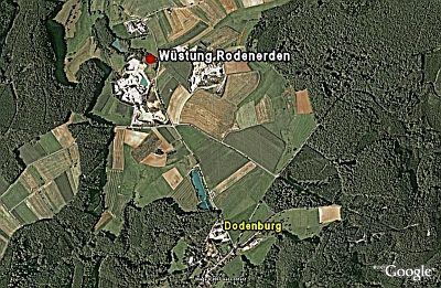
Wüstung Rodenerden
Settlements Deserted Settlements ID 404
-
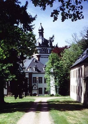
Schloss
Residential and Farm Buildings Manorial Residences and Estate Buildings ID 405
-
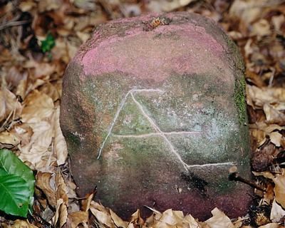
Alter Grenzstein auf dem Burgberg
Markers and Monuments Surveying ID 10608
-
Alter Steinbruch am Burgberg
Economy, Trade and Transport Extraction and Processing of Raw Materials ID 10609
-
Auf Exenbaul
Field Names ID 40850
-
Aufm Scheid
Field Names ID 28622
-
Aussichtspunkt Burgberg
Viewpoints ID 1735
-
Aussichtspunkt oberhalb des Wolfskreuzes
Viewpoints ID 51750
-
Beim Wolfsbaum
Field Names ID 36833
-
Bildstock
Religious Buildings Wayside Shrines and Stations of the Cross ID 15964
-
Bildstock
Religious Buildings Wayside Shrines and Stations of the Cross ID 40831
-
Bildstock an der Landstraße nach Salmtal
Religious Buildings Wayside Shrines and Stations of the Cross ID 23122
-
Burgberg
Höhenrandburg (Abschnittswall)
Fortifications and Military Sites Ridge-Edge Castles ID 5785
-
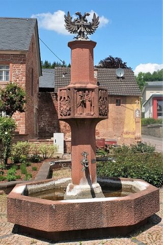
Dorfbrunnen
Fountains and Wells Works of Art ID 11556
-
Drei Grabhügel
Burials Burial Mounds ID 12171
-
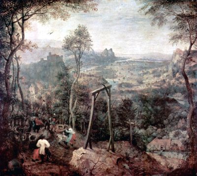
Dreiser Hochgericht
Legal Monuments Execution Sites ID 40838
-
Dreiser Marktfreiheit
Economy, Trade and Transport Market Towns ID 26585