Bernkastel-Wittlich
10,074 heritage sites in Bernkastel-Wittlich in the Kulturdatenbank Region Trier.
The map shows all 10,074 results.
-
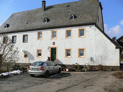
Wohnhaus
Residential and Farm Buildings Farmhouses and Farm Buildings ID 16130
-
Wohnhaus
Residential and Farm Buildings Farmhouses and Farm Buildings ID 16140
-
Zwei Grabhügel
Burials Burial Mounds ID 12848
-
Zwei Grabhügel
Burials Burial Mounds ID 12850
-
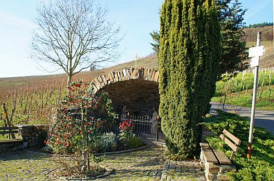
Ölberg-Grotte
Religious Buildings Wayside Shrines and Stations of the Cross ID 33193
-
Aussichtspunkt vom Mont Royal
Viewpoints ID 36002
-
Eingeschossiger Mansarddachbau
Residential and Farm Buildings Farmhouses and Farm Buildings ID 15068
-
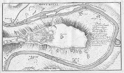
Festung Mont Royal - Nordost-Bollwerk Kur-Köln
Fortifications and Military Sites Fortresses and Bunkers ID 42720
-
Festung Mont Royal - Vorhornwerk Turenne
Fortifications and Military Sites Fortresses and Bunkers ID 42719
-
Friedhofskreuz
Markers and Monuments War Memorials ID 32465
-
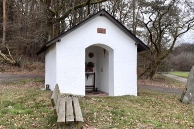
Heiligenhäuschen am alten Kröver Weg
Religious Buildings Wayside Shrine Houses ID 15069
-
Im Rothen
Field Names ID 43444
-
In der Wolfskaul
Field Names ID 36843
-
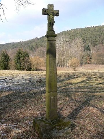
Kreuzigungsbildstock
Religious Buildings Wayside Shrines and Stations of the Cross ID 15067
-
Moseltalbahn - Ehemaliger Bahnhof Enkirch
Engineering Structures and Industrial Sites Railways ID 25828
-
Ortsgeschichte Kövenig
Place Names / Local History ID 14668
-
Verschiefertes Fachwerkhaus
Residential and Farm Buildings Farmhouses and Farm Buildings ID 15070
-
Wegekreuz
Religious Buildings Wayside Shrines and Stations of the Cross ID 32464
-
Festung Mont Royal - Ehemalige Schanze
Fortifications and Military Sites Entrenchments ID 18973
-
Hofgut Altenhof
Residential and Farm Buildings Farmhouses and Farm Buildings ID 13555
-
Kapellchen
Religious Buildings Chapels ID 13566
-
Kreuz des Hofmanns Niclaß Heintz
Religious Buildings Wayside Shrines and Stations of the Cross ID 13556
-
Trasse der Weinstraße (5)
Von der Mosel nach Lüttich
Economy, Trade and Transport Road Transport ID 6909
-
Trigonometrisches Signal am Klosterberg
Markers and Monuments Surveying ID 51702
-
Wegekreuz nördlich von Altenhof
Religious Buildings Wayside Shrines and Stations of the Cross ID 15878
-
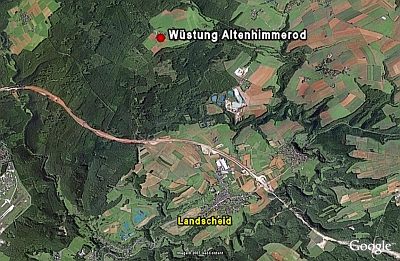
Wüstung Altenhimmerod
Settlements Deserted Settlements ID 426
-
Am Goldtriesch
Field Names ID 36458
-
Am Schüttersborn
Field Names ID 31644
-
Bei dem Messenweg
Field Names ID 38381
-
Bornflur
Field Names ID 31647
-
Buchholz
Field Names ID 41905
-
Bungert
Field Names ID 28174
-
Dörrenpesch
Field Names ID 27269
-
Ehemalige Knochenmühle
Engineering Structures and Industrial Sites Mills ID 25742
-
Ehemaliger Eisenerz-Tagebau am Klosterberg
Economy, Trade and Transport Extraction and Processing of Raw Materials ID 42883
-
Ehemaliger Eisenerz-Tagebau am Klosterberg
Economy, Trade and Transport Extraction and Processing of Raw Materials ID 42884
-
Ehemaliger Eisenerz-Tagebau am Klosterberg
Economy, Trade and Transport Extraction and Processing of Raw Materials ID 42885
-
Ehemaliger Kalkofen
Economy, Trade and Transport Lime Kilns ID 34120
-
Eichenpesch
Field Names ID 27270
-
Erste Erwähnung von Burg
Place Names / Local History ID 7848
-
Gezdriesch
Field Names ID 29556
-
Heiligenhäuschen südwestlich des Ortes
Religious Buildings Wayside Shrine Houses ID 15881
-
Hielenpesch
Field Names ID 27271
-
Hintersten Pützflur
Field Names ID 39540