Eifelkreis Bitburg-Prüm
13,378 heritage sites in Eifelkreis Bitburg-Prüm in the Kulturdatenbank Region Trier.
The map shows all 13,378 results.
-
Westwall - Schartenstand
Fortifications and Military Sites Fortresses and Bunkers ID 21715
-
Westwall - Schartenstand
Fortifications and Military Sites Fortresses and Bunkers ID 21716
-
Westwall - Schartenstand
Fortifications and Military Sites Fortresses and Bunkers ID 21717
-
Westwall - Schartenstand
Fortifications and Military Sites Fortresses and Bunkers ID 21718
-
Westwall - Schartenstand
Fortifications and Military Sites Fortresses and Bunkers ID 21719
-
Westwall - Schartenstand
Fortifications and Military Sites Fortresses and Bunkers ID 21739
-
Westwall - Schartenstand
Fortifications and Military Sites Fortresses and Bunkers ID 21743
-
Westwall - Schartenstand
Fortifications and Military Sites Fortresses and Bunkers ID 21745
-
Westwall - Schartenstand
Fortifications and Military Sites Fortresses and Bunkers ID 21746
-
Gaymühle am Gaybach
Engineering Structures and Industrial Sites Mills ID 7615
-
Westwall - Artillerie Beobachter-Stand
Fortifications and Military Sites Fortresses and Bunkers ID 21752
-
Westwall - Bataillons-Befehlsstelle
Baustärke B1 oder stärker
Fortifications and Military Sites Fortresses and Bunkers ID 21722
-
Westwall - Bunker ohne Kampfraum
Baustärke B1 oder stärker
Fortifications and Military Sites Fortresses and Bunkers ID 21720
-
Westwall - Bunker ohne Kampfraum
Baustärke B1 oder stärker
Fortifications and Military Sites Fortresses and Bunkers ID 21721
-
Westwall - Bunker ohne Kampfraum
Baustärke B1 oder stärker
Fortifications and Military Sites Fortresses and Bunkers ID 21753
-
Westwall - Schartenstand
Fortifications and Military Sites Fortresses and Bunkers ID 21738
-
Westwall - Schartenstand
Fortifications and Military Sites Fortresses and Bunkers ID 21744
-
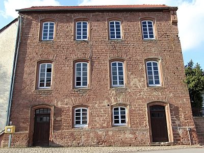
"Ganz" alte Schule
Educational Institutions Schools ID 9539
-
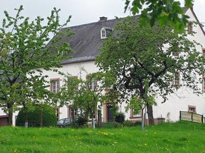
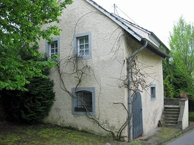
Bauernhaus
Residential and Farm Buildings Farmhouses and Farm Buildings ID 9528
-
Bei der Wolfsgracht
Field Names ID 36844
-
Beim Gemahltenborn
Field Names ID 31594
-
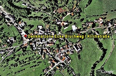
Denkmalzone Ecke Bruchweg/Kirchstraße
Historic Townscapes ID 9537
-
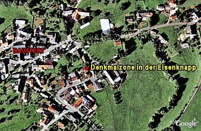
Denkmalzone in der Eisenknapp
Historic Townscapes ID 9536
-
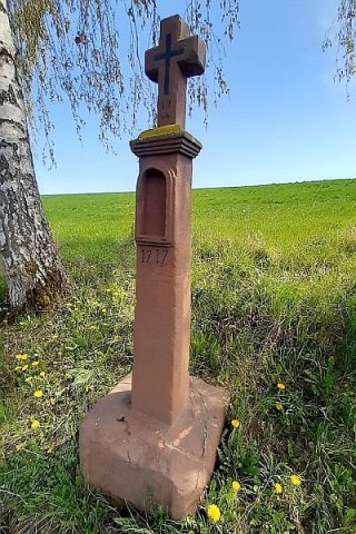
Einfaches Nischenkreuz
Das Kreuz in der oberen Seitert
Religious Buildings Wayside Shrines and Stations of the Cross ID 32443
-
Erste Erwähnung als Bustatt
Place Names / Local History ID 857
-
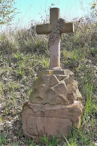
Gedächtniskreuz
Das Kreuz in der unteren Seitert
Religious Buildings Wayside Shrines and Stations of the Cross ID 51660
-
Höfe in der Brunnenstraße
Historic Townscapes ID 9538
-
Im Rückbrecher
Field Names ID 29806
-
Kobernborn
Field Names ID 31570
-
Krummwiese
Field Names ID 42441
-
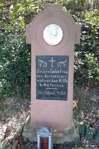
Marienkreuz
Religious Buildings Wayside Shrines and Stations of the Cross ID 32441
-
Mühlenpesch
Field Names ID 26985
-
Portal
Residential and Farm Buildings Farmhouses and Farm Buildings ID 9535
-
Rothenbüsch
Field Names ID 43504
-
Sauergrund
Field Names ID 46943
-
Sauerwiese
Field Names ID 34501
-
Scheid
Field Names ID 28688
-
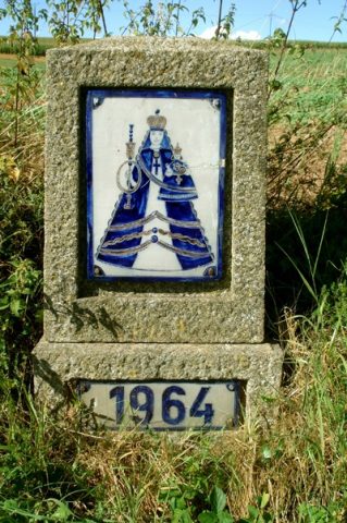
Straßenkreuz
Religious Buildings Wayside Shrines and Stations of the Cross ID 32440
-
Streckhof
Residential and Farm Buildings Farmhouses and Farm Buildings ID 9529
-
Streckhof
Residential and Farm Buildings Farmhouses and Farm Buildings ID 9530
-
Streckhof
Residential and Farm Buildings Farmhouses and Farm Buildings ID 9531
-
Unfallkreuz am Golfplatz
Religious Buildings Wayside Shrines and Stations of the Cross ID 32444
-
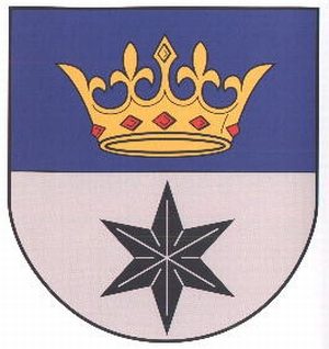
Wappen der Gemeinde Baustert
Coats of Arms ID 10189
-
Wegekreuz
Religious Buildings Wayside Shrines and Stations of the Cross ID 32802
-
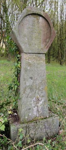
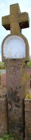
Wegekreuz von 1640
Religious Buildings Wayside Shrines and Stations of the Cross ID 9533
-
Wegekreuz von 1727
Religious Buildings Wayside Shrines and Stations of the Cross ID 9534