Eifelkreis Bitburg-Prüm

13,378 heritage sites in Eifelkreis Bitburg-Prüm in the Kulturdatenbank Region Trier.

13,378 objects · 9,121–9,168

  1. Winkelhof

    Oberweis, Neuerburger Straße 7 1838

    Residential and Farm Buildings Farmhouses and Farm Buildings ID 35048

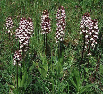
  2. Mergelhänge mit Orchideen

    Naturdenkmal

    Oberweis, Unterbedhard Undatiert

    Natural Landscapes Orchid Sites ID 6194

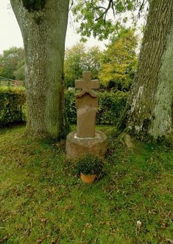
  3. Wegekreuz

    Olmscheid, Hiermeshof, Olmscheider Furth Undatiert

    Religious Buildings Wayside Shrines and Stations of the Cross ID 32806

  4. Auf der Klingendell

    Olmscheid, Hof Klingendell Undatiert

    Field Names ID 44792

  5. Befestigte Siedlung

    Olmscheid, Hof Klingendell Undatiert

    Settlements Settlements ID 12270

  6. In der Klingendell

    Olmscheid, Hof Klingendell Undatiert

    Field Names ID 45298

  7. Aussichtspunkt

    Olmscheid Undatiert

    Viewpoints ID 4342

  8. Ehemalige Hauskapelle

    Gegenüber der Kirche

    Olmscheid, Hauptstraße Undatiert

    Religious Buildings Chapels ID 11027

  9. Ehemalige Windmühle

    Olmscheid 1917-18

    Engineering Structures and Industrial Sites Windmills ID 14823

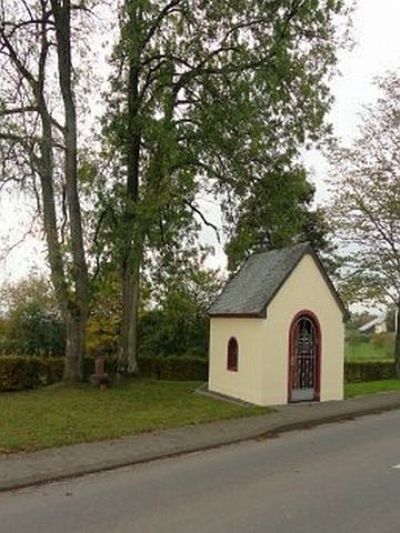
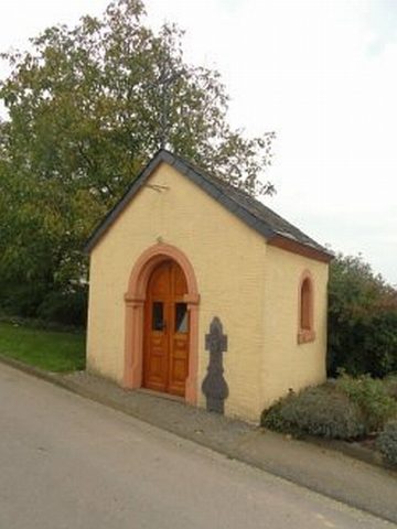
  10. Hauskapelle der Familie Hankes-Schares

    Olmscheid, Bei Hauptstraße 13 Anfang des 20. Jahrhunderts

    Religious Buildings Chapels ID 4596

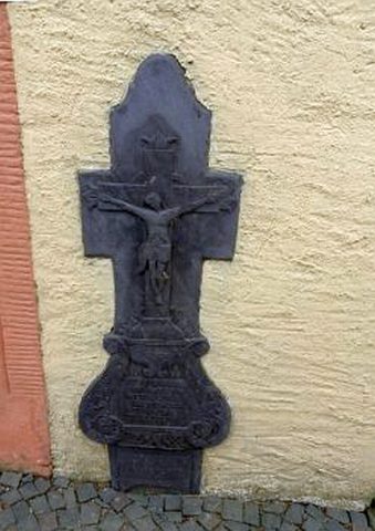
  11. Hauskapelle der Familie Hankes-Schares - Kreuz

    Olmscheid, Bei Hauptstraße 13 1811

    Religious Buildings Chapels ID 164

  12. Im Schmittpesch

    Olmscheid Undatiert

    Field Names ID 27385

  13. Im Steinborn

    Olmscheid Undatiert

    Field Names ID 31714

  14. In Rodersdell

    Olmscheid Undatiert

    Field Names ID 43133

  15. Linde auf dem Friedhof

    Naturdenkmal

    Olmscheid Undatiert

    Trees Lime Trees ID 5169

  16. Olmscheider Furth

    Olmscheid Undatiert

    Settlements Deserted Settlements ID 46038

  17. Ortsname / Ortsgeschichte

    Olmscheid Undatiert

    Place Names / Local History ID 3364

  18. Sankt Josef

    Katholische Pfarrkirche

    Olmscheid, Hauptstraße 42 A 1912

    Religious Buildings Catholic Churches ID 5882

  19. Steinborn

    Olmscheid Undatiert

    Field Names ID 31709

  20. Unterm Ohrenborn

    Olmscheid Undatiert

    Field Names ID 31732

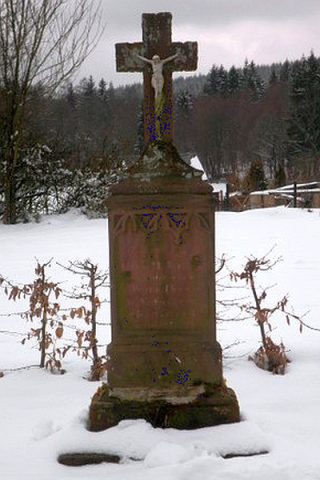
  21. Wegekreuz

    Olmscheid, Hauptstraße Undatiert

    Religious Buildings Wayside Shrines and Stations of the Cross ID 32807

  22. Wegekreuz

    Olmscheid, Auf dem Hock Undatiert

    Religious Buildings Wayside Shrines and Stations of the Cross ID 32808

  23. Wegekreuz

    Olmscheid, Bergstraße 42 Undatiert

    Religious Buildings Wayside Shrines and Stations of the Cross ID 32809

  24. Wegekreuz

    Olmscheid, Abzweigung Hauptstraße / Zum Knupp Undatiert

    Religious Buildings Wayside Shrines and Stations of the Cross ID 32810

  25. Wegekreuz gegenüber der Kirche

    Olmscheid, Hauptstraße 17. Jahrhundert

    Religious Buildings Wayside Shrines and Stations of the Cross ID 23914

  26. In der Gingelsdell

    Olmscheid, Steinrausch Undatiert

    Field Names ID 45223

  27. Ortsgeschichte Hoorhof

    Olsdorf, Hoorhof 1767

    Place Names / Local History ID 10283

  28. Sankt Rochuskapelle beim Hoorhof

    Katholische Kapelle

    Olsdorf, Hoorhof, Bettinger Straße 1928

    Religious Buildings Chapels ID 7471

  29. Beim Ack

    Olsdorf, Bettinger Straße Undatiert

    Field Names ID 52720

  30. Erste Erwähnung als Alesdorf juxta Bettingen

    Olsdorf 1200

    Place Names / Local History ID 1664

  31. Hinterm Ack

    Olsdorf Undatiert

    Field Names ID 52721

  32. Hügelgräbergruppe

    Südwestlich von Olsdorf

    Olsdorf Undatiert

    Burials Burial Mounds ID 12246

  33. Im Holzwinkel

    Olsdorf Undatiert

    Field Names ID 39833

  34. Paternöll

    Olsdorf Undatiert

    Field Names ID 52220

  35. Römische Siedlungsstelle

    Olsdorf Circa 500 vor Chr. bis circa 500 nach Chr.

    Settlements Settlements ID 1663

  36. Römische Siedlungsstelle

    Olsdorf Circa 500 vor Chr. bis circa 500 nach Chr.

    Settlements Settlements ID 12245

  37. Unterm Ack

    Olsdorf, Unter Aak Undatiert

    Field Names ID 52719

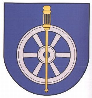
  38. Wappen der Gemeinde Olsdorf

    Olsdorf 12.03.1989 [Genehmigung]

    Coats of Arms ID 10215

  39. Wegekreuz

    Olsdorf, Unter Aak 4 Undatiert

    Religious Buildings Wayside Shrines and Stations of the Cross ID 32514

  40. Wegekreuz

    Olsdorf, Bei Bettinger Straße 23 Undatiert

    Religious Buildings Wayside Shrines and Stations of the Cross ID 32515

  41. Wolfsbüsch

    Olsdorf Undatiert

    Field Names ID 36839

  42. Lohnertkreuz

    ehemals "Stadtkyller Schnapskreuz"

    Olzheim, Halbe Meile um 1832

    Religious Buildings Wayside Shrines and Stations of the Cross ID 33732

  43. Wegekreuz

    Olzheim, Hof Harelstein Undatiert

    Religious Buildings Wayside Shrines and Stations of the Cross ID 33731

  44. Filialkapelle der heiligen Maria

    Olzheim, Knaufspesch, Prümer Straße 3 1994

    Religious Buildings Chapels ID 8993

  45. Hinter Knaufspesch

    Olzheim, Knaufspesch Undatiert

    Field Names ID 27386

  46. Historisierendes Sockelkreuz

    Olzheim, Knaufspesch, Gegenüber Prümer Straße 3 1866

    Religious Buildings Wayside Shrines and Stations of the Cross ID 8204

  47. Königsfarnvorkommen Auf Schasselt

    Naturdenkmal ND-7232-522

    Olzheim, Knaufspesch Undatiert

    General ID 4977

  48. Ortsgeschichte Knaufspesch

    Olzheim, Knaufspesch 1795

    Place Names / Local History ID 14828