Trier-Saarburg
12,925 heritage sites in Trier-Saarburg in the Kulturdatenbank Region Trier.
The map shows all 12,925 results.
-
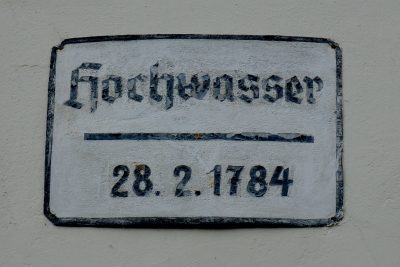
Hochwassermarken
Markers and Monuments Flood Marks ID 48447
-
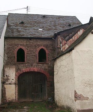
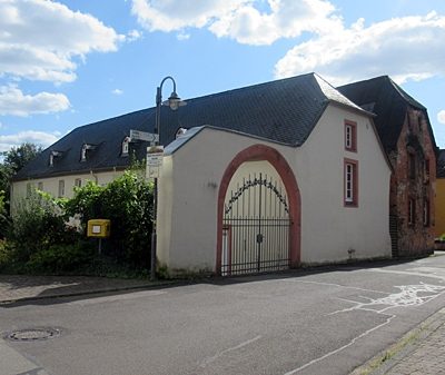
Hofanlage
Residential and Farm Buildings Farmhouses and Farm Buildings ID 57167
-
Im Butterwingert
Vineyard Sites ID 39268
-
Im Klerx
Field Names ID 32702
-
Im Piesel
Field Names ID 32701
-
Im Quinschelerberg
Field Names ID 32711
-
Im langen Wingert
Vineyard Sites ID 39269
-
Im obersten Königsberg
Field Names ID 32708
-
In Waborn
Field Names ID 31276
-
In Waborn
Field Names ID 31289
-
In der Gruf
Field Names ID 45236
-
In der Held
Field Names ID 39994
-
In der Kuhtrift
Field Names ID 28383
-
Jüdische Geschichte
Place Names / Local History Jewish History ID 14691
-
Kiesgrube
Economy, Trade and Transport Extraction and Processing of Raw Materials ID 41267
-
Kiesgrube
Economy, Trade and Transport Extraction and Processing of Raw Materials ID 41268
-
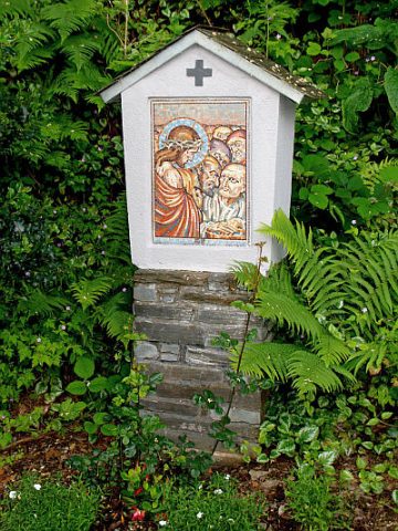
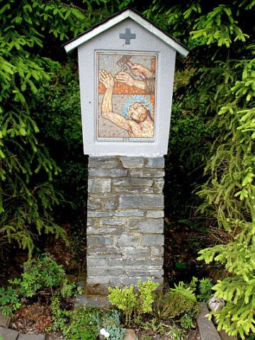
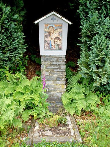
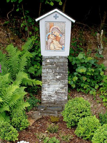
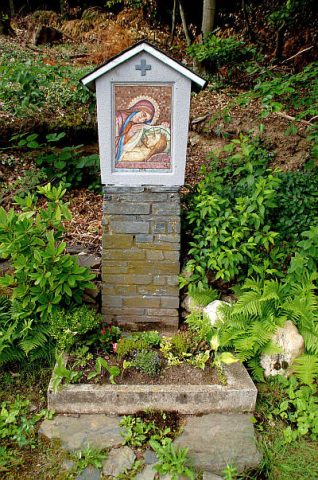
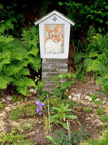
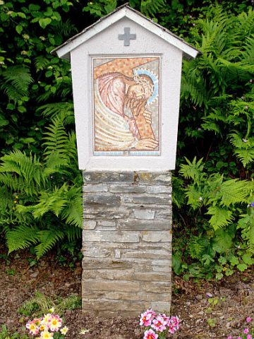
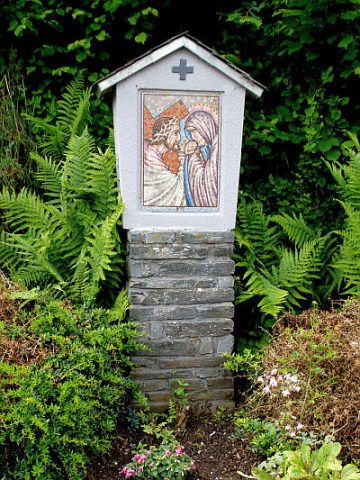
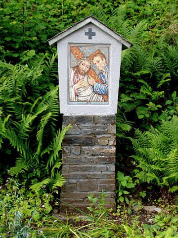
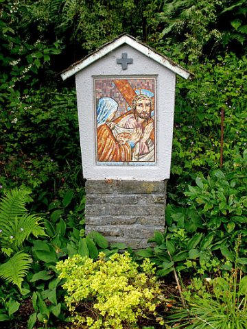
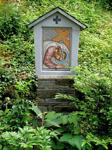
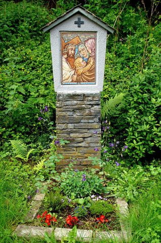
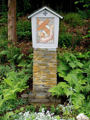
Kreuzweg zur Rudemskapelle - 1. Station
Religious Buildings Wayside Shrines and Stations of the Cross ID 25701
-
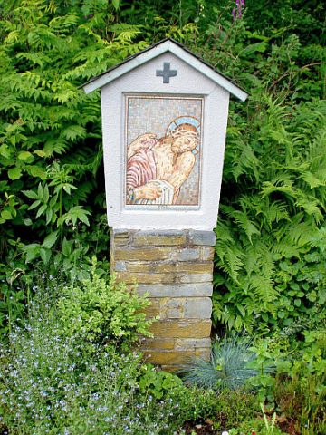
Kreuzweg zur Rudemskapelle - 10. Station
Religious Buildings Wayside Shrines and Stations of the Cross ID 25710
-
Kreuzweg zur Rudemskapelle - 11. Station
Religious Buildings Wayside Shrines and Stations of the Cross ID 25711
-
Kreuzweg zur Rudemskapelle - 12. Station
Religious Buildings Wayside Shrines and Stations of the Cross ID 25712
-
Kreuzweg zur Rudemskapelle - 13. Station
Religious Buildings Wayside Shrines and Stations of the Cross ID 25713
-
Kreuzweg zur Rudemskapelle - 14. Station
Religious Buildings Wayside Shrines and Stations of the Cross ID 25714
-
Kreuzweg zur Rudemskapelle - 2. Station
Religious Buildings Wayside Shrines and Stations of the Cross ID 25702
-
Kreuzweg zur Rudemskapelle - 3. Station
Religious Buildings Wayside Shrines and Stations of the Cross ID 25703
-
Kreuzweg zur Rudemskapelle - 4. Station
Religious Buildings Wayside Shrines and Stations of the Cross ID 25704
-
Kreuzweg zur Rudemskapelle - 5. Station
Religious Buildings Wayside Shrines and Stations of the Cross ID 25705
-
Kreuzweg zur Rudemskapelle - 6. Station
Religious Buildings Wayside Shrines and Stations of the Cross ID 25706
-
Kreuzweg zur Rudemskapelle - 7. Station
Religious Buildings Wayside Shrines and Stations of the Cross ID 25707
-
Kreuzweg zur Rudemskapelle - 8. Station
Religious Buildings Wayside Shrines and Stations of the Cross ID 25708
-
Kreuzweg zur Rudemskapelle - 9. Station
Religious Buildings Wayside Shrines and Stations of the Cross ID 25709
-
Kriegerdenkmal
Markers and Monuments War Memorials ID 34980
-
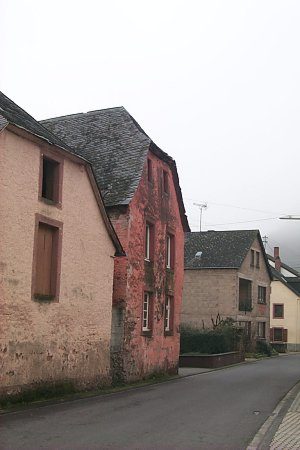
Krüppelwalmdachbau
Residential and Farm Buildings Town Houses and Commercial Buildings ID 2113
-
Königsberg auf den Fellen
Field Names ID 32704
-
Königsberg im Ort
Field Names ID 32705
-
Königsberg zwischen den Wegen
Field Names ID 32709
-
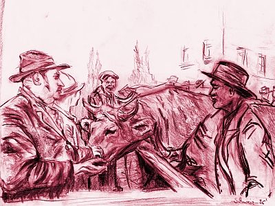
Marktort Klüsserath
Economy, Trade and Transport Market Towns ID 25945
-
Michelskreuz
Religious Buildings Wayside Shrines and Stations of the Cross ID 25699
-
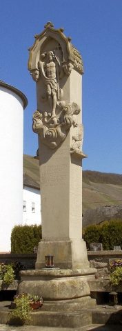
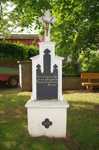
Neugotisches Pfeilerkreuz
Religious Buildings Wayside Shrines and Stations of the Cross ID 25717
-
Obig dem Pastorsgarten
Field Names ID 40403
-
Ortsname / Ortsgeschichte
Place Names / Local History ID 1419
-
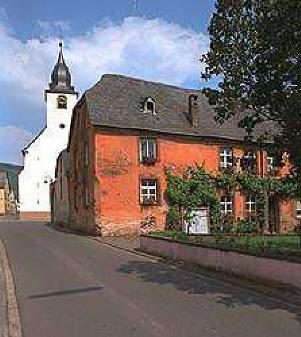
Pfarrscheune
Residential and Farm Buildings Farmhouses and Farm Buildings ID 34861
-
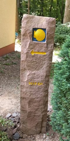
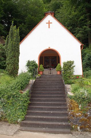
Pilgerstein Moselcamino bei Waldkapelle
Kapelle "Maria hinterm Wald"
Markers and Monuments Pilgrimage Routes ID 53224
-
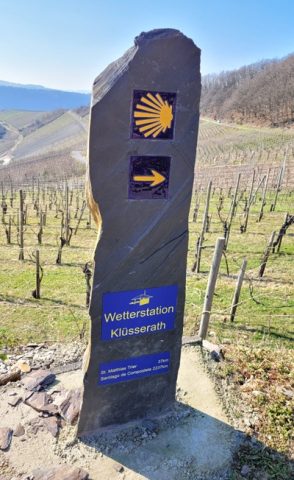
Pilgerstein bei Wetterstation
Markers and Monuments Pilgrimage Routes ID 53225
-
Quereinhaus
Residential and Farm Buildings Farmhouses and Farm Buildings ID 57166
-
Rudemskapelle
Religious Buildings Chapels ID 25715
-
Römische Siedlungsstelle
Settlements Settlements ID 12029