Vulkaneifel
7,758 heritage sites in Vulkaneifel in the Kulturdatenbank Region Trier.
The map shows all 7,758 results.
-
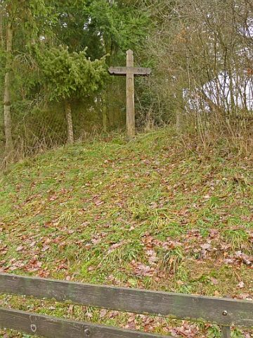
Wegekreuz
Religious Buildings Wayside Shrines and Stations of the Cross ID 32998
-
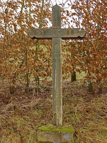
Wegekreuz
Religious Buildings Wayside Shrines and Stations of the Cross ID 32999
-
Wegekreuz
Religious Buildings Wayside Shrines and Stations of the Cross ID 33000
-
Wegekreuz
Religious Buildings Wayside Shrines and Stations of the Cross ID 33001
-
Wegekreuz
Religious Buildings Wayside Shrines and Stations of the Cross ID 33002
-
Wegekreuz
Religious Buildings Wayside Shrines and Stations of the Cross ID 33006
-
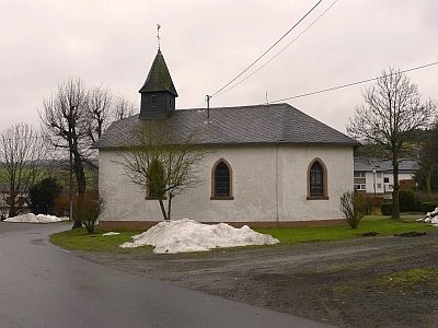
Antonius-Kapelle
Religious Buildings Chapels ID 4709
-
Auf Junkersbruch
Field Names ID 40685
-
Auf Thielschespesch
Field Names ID 27336
-
Auf der Aspelsheck
Field Names ID 41839
-
Auf der Sauerwies
Field Names ID 34523
-
Auf der Steinrausch
Field Names ID 27768
-
Aufm Flachspesch
Field Names ID 27337
-
Aufm Kolfsrech
Field Names ID 29936
-
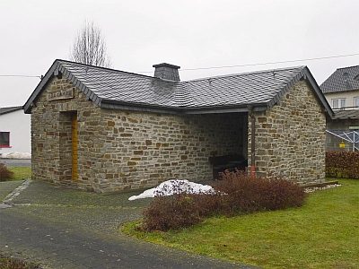
Backhaus
Residential and Farm Buildings Farmhouses and Farm Buildings ID 19914
-
Bittkreuz Am Berg
Religious Buildings Wayside Shrines and Stations of the Cross ID 23090
-
Bittkreuz Hinterm Berg
Religious Buildings Wayside Shrines and Stations of the Cross ID 23091
-
Bittkreuz am Backhaus
Religious Buildings Wayside Shrines and Stations of the Cross ID 23092
-
Die Rotheck
Field Names ID 43670
-
Ehemalige Kiesgrube
Economy, Trade and Transport Extraction and Processing of Raw Materials ID 35650
-
Ehemalige Mühle
Engineering Structures and Industrial Sites Mills ID 35549
-
Ehemaliges Wegekreuz
Religious Buildings Wayside Shrines and Stations of the Cross ID 52945
-
Grabhügelgruppe
Burials Burial Mounds ID 12193
-
Hinterm Kirchenbüsch
Field Names ID 44233
-
Im Auel
Field Names ID 42192
-
Im Kirchenbüsch
Field Names ID 44231
-
Im Kleepesch
Field Names ID 27338
-
Im Mühlenpesch
Field Names ID 27339
-
In der Pfaffenheck
Field Names ID 29041
-
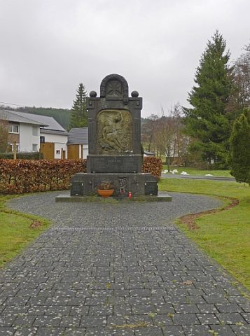
Kriegerdenkmal 1914/18
Markers and Monuments War Memorials ID 19920
-
Ober der Rotheck
Field Names ID 43189
-
Ortsname / Ortsgeschichte
Place Names / Local History ID 3352
-
Römische Siedlung
Settlements Settlements ID 4708
-
Unten im Auel
Field Names ID 42200
-
Unter der Rotheck
Field Names ID 43635
-
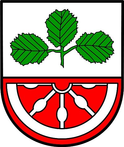
Wappen der Gemeinde Nerdlen
Coats of Arms ID 3351
-
Wegekreuz
Religious Buildings Wayside Shrines and Stations of the Cross ID 26268
-
Wegekreuz
Religious Buildings Wayside Shrines and Stations of the Cross ID 26269
-
Wegekreuz
Religious Buildings Wayside Shrines and Stations of the Cross ID 26270
-
Wegekreuz
Religious Buildings Wayside Shrines and Stations of the Cross ID 26271
-
Wegekreuz vor dem Backhaus
Religious Buildings Wayside Shrines and Stations of the Cross ID 26272
-
Wegekreuz vor der Schützenhalle
Religious Buildings Wayside Shrines and Stations of the Cross ID 26275
-
Am Wilbertsborn
Field Names ID 32071
-
An dem Weyerborn
Field Names ID 32107
-
Auf dem Eisenbruch
Field Names ID 36566
-
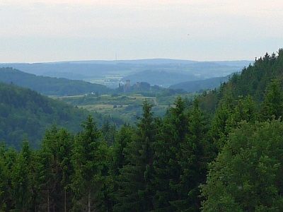
Aussichtspunkt an der Schießanlage Gees
Viewpoints ID 4299
-
Bei dem Meßborn
Field Names ID 32089