Field Names · Undated
Unten im Auel


© GeoBasis-DE / LVermGeoRP, dl-de/by-2-0
There is no picture of this object yet. Do you have a photo that you would like to make available to the Kulturdatenbank? Submit a picture
Description
This description is only available in German.
Translate with Google opens this page in Google Translate (external service)
Auel - Bedeutung: Aue, mehr oder minder von Wasser umgeben, Grasfläche am Bach; die zwischen Flussbiegung und Berg entstandene fruchtbare Wiese, in weiterer Bedeutung feuchter Grund, Sumpf. Es handelt sich um eine l - Ableitung zu Aue. [1]
Classification
- Subject area
- History
- Category
- Field Names
- Date
- Undatiert
- Period
- Undated
Location
- District
- Vulkaneifel
- Collective municipality
- Daun
- Municipality
- Nerdlen
- Field name
- Unten im Auel
- Coordinates
- WGS 84: 50.239139, 6.857010 (Position: exact) WGS 84: 50° 14′ 20.9″ N, 6° 51′ 25.2″ E UTM 32 (ETRS89): E 347188 · N 5567417
Sources
Data sources
- [1] Heinrich Dittmaier: Rheinische Flurnamen. Ludwig Röhrscheid Verlag, Bonn, 1963.
On the internet
Last edited: 22 Dec 2016 Object ID: 42200
https://kulturdb.de/en/objekt/42200-nerdlen-unten-im-auel
Nearby
The nearest objects
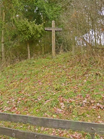 180 m
Wayside Shrines and Stations of the Cross
Bittkreuz Am Berg
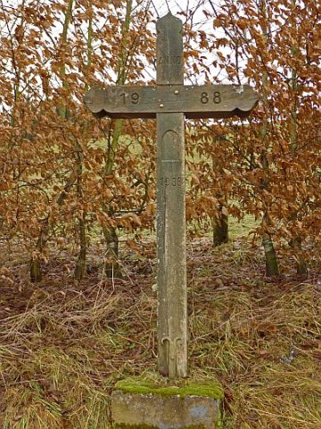 180 m
Wayside Shrines and Stations of the Cross
Bittkreuz Hinterm Berg
Wayside Shrines and Stations of the Cross
Bittkreuz am Backhaus
Field Names
Auf der Aspelsheck
Wayside Shrines and Stations of the Cross
Wegekreuz
Field Names
Im Mühlenpesch
Field Names
Im Auel
Mills