Wayside Shrines and Stations of the Cross · 20th Century
Bittkreuz Am Berg


Classification
- Subject area
- Architectural and Art Monuments
- Category
- Religious Buildings
- Object type
- Wayside Shrines and Stations of the Cross
- Date
- 1931 [?]
- Period
- 20th Century
Location
- District
- Vulkaneifel
- Collective municipality
- Daun
- Municipality
- Nerdlen
- Street
- Am Berg
- Field name
- Am Klaus ober der Klaus
- Coordinates
- WGS 84: 50.237867, 6.858609 (Position: exact) WGS 84: 50° 14′ 16.3″ N, 6° 51′ 31.0″ E UTM 32 (ETRS89): E 347298 · N 5567272
Sources
Data sources
- [1] Uwe Widera, 54550 Daun, 2011
On the internet
Picture credits
Last edited: 3 May 2011 Object ID: 23090
https://kulturdb.de/en/objekt/23090-nerdlen-bittkreuz-am-berg
Nearby
The nearest objects
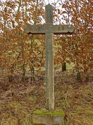 less than 10 m
Wayside Shrines and Stations of the Cross
Bittkreuz Hinterm Berg
No picture
less than 10 m
Wayside Shrines and Stations of the Cross
Bittkreuz am Backhaus
No picture
130 m
Wayside Shrines and Stations of the Cross
Wegekreuz
No picture
130 m
Mills
Ehemalige Mühle
No picture
140 m
Field Names
Im Mühlenpesch
No picture
180 m
Field Names
Unten im Auel
 230 m
Coats of Arms
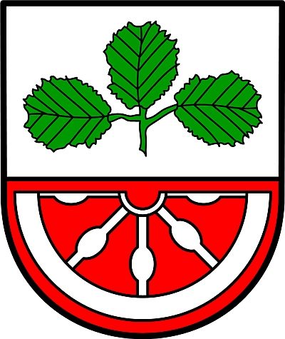
Wappen der Gemeinde Nerdlen
No picture
230 m
Place Names / Local History