Vulkaneifel
7,758 heritage sites in Vulkaneifel in the Kulturdatenbank Region Trier.
The map shows all 7,758 results.
-
Römische Fundstelle
Settlements Find Sites ID 12398
-
Römische Siedlungsstelle
Settlements Settlements ID 11844
-
Römischer Kultplatz
Religious Buildings Temples, Sanctuaries ID 12997
-
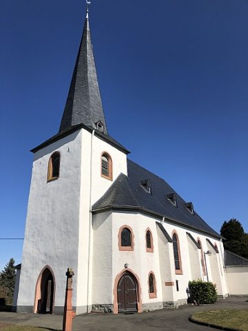
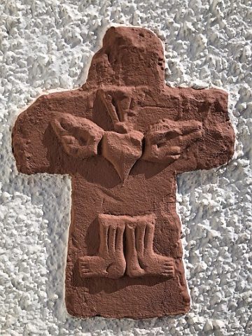
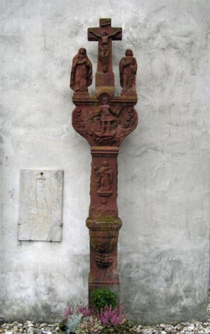
Sankt Johannes der Täufer - Friedhofskreuz
Katholische Pfarrkirche
Markers and Monuments Catholic Churches ID 50412
-
Schlackenkegel Körperichberg
Geological Features Volcanoes ID 30248
-
Schlackenwall Lange Klopp
Geological Features Volcanoes ID 30249
-
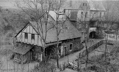
Untere Strohner Mühle an der Alf
Engineering Structures and Industrial Sites Mills ID 8910
-
Vor Buchholz
Field Names ID 41901
-
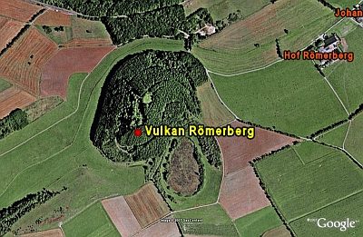
Vulkan Römerberg
Geological Features Volcanoes ID 6654
-
Vulkan Wartgesberg (1)
Geological Features Volcanoes ID 6653
-
Vulkan Wartgesberg (2)
Geological Features Volcanoes ID 7837
-
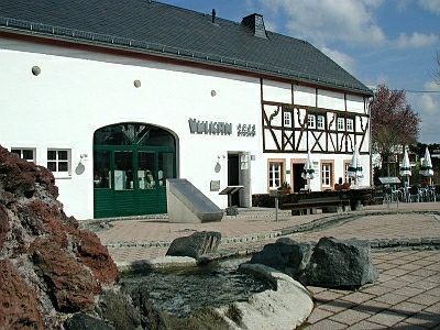
Vulkanmuseum
Educational Institutions Museums ID 9828
-
Wappen der Gemeinde Strohn
Coats of Arms ID 7835
-
Wegekreuz
Religious Buildings Wayside Shrines and Stations of the Cross ID 33495
-
Wegekreuz
Religious Buildings Wayside Shrines and Stations of the Cross ID 33496
-
Wegekreuz
Religious Buildings Wayside Shrines and Stations of the Cross ID 33497
-
Wegekreuz
Religious Buildings Wayside Shrines and Stations of the Cross ID 33498
-
Wüstung Reichelhausen
Settlements Deserted Settlements ID 807
-
Trautzberg Maar
Maars Dry Maars ID 6706
-
Vulkan Trautzberg Maar
Geological Features Volcanoes ID 30143
-
Aussichtspunkt
Viewpoints ID 36006
-
Wegekreuz
Religious Buildings Wayside Shrines and Stations of the Cross ID 30058
-
Aussichtspunkt Siebenbachhöhe
Viewpoints ID 4006
-
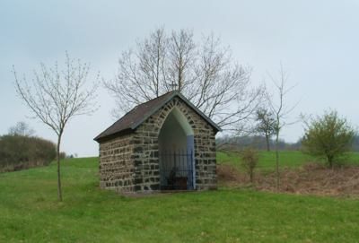
Wegekapelle
Religious Buildings Chapels ID 16627
-
Auf der Steinrausch
Field Names ID 27799
-
Aufm Krummacker
Field Names ID 42512
-
Aufm Maarberg unter dem Wittumhof
Field Names ID 29103
-
Aufm Süßenrech
Field Names ID 29854
-
Aussichtspunkt
Viewpoints ID 36007
-
Ehemaliger Steinbruch
Economy, Trade and Transport Extraction and Processing of Raw Materials ID 19517
-
Erste Erwähnung als Strouadesburch
Place Names / Local History ID 2770
-
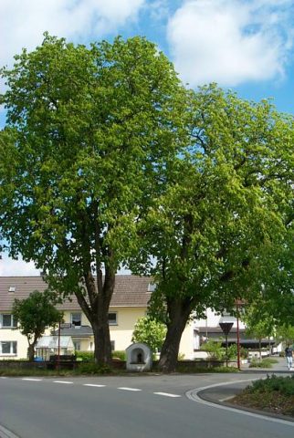
Heiligenhäuschen
Religious Buildings Wayside Shrine Houses ID 30053
-
Im Pfaffental
Field Names ID 29058
-
In den Vierteln unter der Gemeindewies
Field Names ID 42569
-
In der Danzdell
Field Names ID 45138
-
In der Hostert
Field Names ID 27949
-
In der Krummwies
Field Names ID 42439
-
In der Pfaffenkaul
Field Names ID 28992
-
Jakobsborn
Field Names ID 31835
-
Johannesborn
Field Names ID 31838
-
Kirchhofskreuz
Religious Buildings Wayside Shrines and Stations of the Cross ID 15267
-
Oberm Wittumhof
Field Names ID 29109
-
Pfaffenlay
Field Names ID 29017