Vulkaneifel
7,758 heritage sites in Vulkaneifel in the Kulturdatenbank Region Trier.
The map shows all 7,758 results.
-
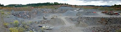
Lavatagebau Grauley
Economy, Trade and Transport Extraction and Processing of Raw Materials ID 4492
-
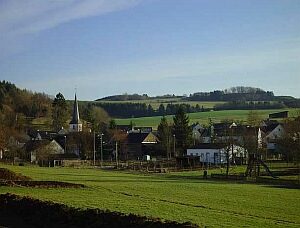
Ortsgeschichte Bolsdorf
Place Names / Local History ID 4078
-
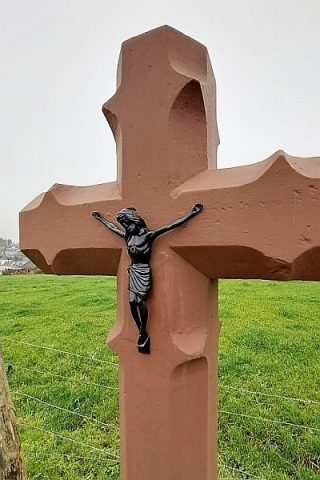
Pfeilerkreuz auf dem Friedhof
Religious Buildings Wayside Shrines and Stations of the Cross ID 26227
-
Römische Brandgräber
Burials Cremation Graves ID 12715
-
Römische Siedlungsstelle
Settlements Settlements ID 12289
-
Unten auf Graurech
Field Names ID 29987
-
Unter Hausklosenrech
Field Names ID 29985
-
Vulkan Grauley
Geological Features Volcanoes ID 30192
-
Vulkan Höhe 426,6 westlich Bolsdorf
Geological Features Volcanoes ID 30198
-
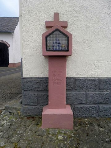
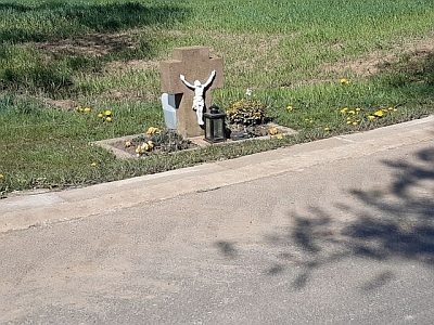
Wegekreuz
Religious Buildings Wayside Shrines and Stations of the Cross ID 25591
-
Wegekreuz
Religious Buildings Wayside Shrines and Stations of the Cross ID 26230
-
Wegekreuz
Religious Buildings Wayside Shrines and Stations of the Cross ID 26232
-
Wegekreuz
Religious Buildings Wayside Shrines and Stations of the Cross ID 26233
-
Wegekreuz
Religious Buildings Wayside Shrines and Stations of the Cross ID 32353
-
Wegekreuz am Friedhof
Religious Buildings Wayside Shrines and Stations of the Cross ID 26228
-
Wohn- und Wirtschaftsgebäude
Residential and Farm Buildings Farmhouses and Farm Buildings ID 16471
-
Wohnhaus
Residential and Farm Buildings Farmhouses and Farm Buildings ID 16472
-
Crumps Mühle am Wiesbach
Zwischen Birgel und Oberbettingen
Engineering Structures and Industrial Sites Mills ID 7559
-
Eichholz
Field Names ID 41867
-
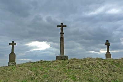
3 Wegekreuze an der Prümer Straße
Religious Buildings Wayside Shrines and Stations of the Cross ID 18411
-
Alte Schultheisenwies
Field Names ID 34671