Chapels · Renaissance
Hubertus-Kapelle
- Listed monument


Description
This description is only available in German.
Translate with Google opens this page in Google Translate (external service)
Malerische Lage auf einer Anhöhe. Erbaut um 1600. Vesperbild erste Hälfte 15. Jahrhundert Gusseisernes Nothelferkreuz aus dem 16. Jahrhundert.
Classification
- Subject area
- Architectural and Art Monuments
- Category
- Religious Buildings
- Object type
- Chapels
- Date
- Um 1600
- Period
- Renaissance
Location
- District
- Vulkaneifel
- Collective municipality
- Gerolstein
- Municipality
- Stadtkyll
- Locality / location
- Niederkyll
- Street
- Hausnr. 1
- Field name
- Auf der Komm
- Coordinates
- WGS 84: 50.353679, 6.545655 (Position: exact) WGS 84: 50° 21′ 13.2″ N, 6° 32′ 44.4″ E UTM 32 (ETRS89): E 325408 · N 5580836
Sources
Data sources
- - Georg Dehio: Handbuch der deutschen Kunstdenkmäler: Rheinland-Pfalz, Saarland, 1984. Deutscher Kunstverlag
- - Kreisverwaltung Vulkaneifel, Abteilung 1 - Kommunales und Recht; 2008.
On the internet
Picture credits
Last edited: 17 Oct 2008 Object ID: 1017
https://kulturdb.de/en/objekt/1017-stadtkyll-hubertus-kapelle
Nearby
The nearest objects
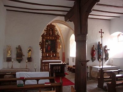 less than 10 m
Altars
Hubertus-Kapelle - Altar
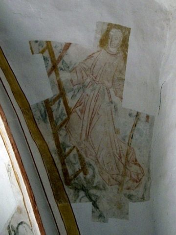 less than 10 m
Chapels
Hubertus-Kapelle - Ausstattung
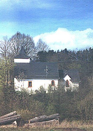 20 m
Wayside Shrines and Stations of the Cross
Hubertus-Kapelle - Nothelferkreuz
No picture
160 m
Field Names
Auf Auel
No picture
240 m
Deserted Settlements
Widemshof
No picture
590 m
Field Names
Auf der Wasserdell
No picture
800 m
Field Names
Niederkyllerheck
No picture
820 m
Deserted Settlements