Deserted Settlements · Renaissance
Wüstung Niederlinzfeld
Auch: Linzfeld


© GeoBasis-DE / LVermGeoRP, dl-de/by-2-0
There is no picture of this object yet. Do you have a photo that you would like to make available to the Kulturdatenbank? Submit a picture
Description
This description is only available in German.
Translate with Google opens this page in Google Translate (external service)
1322 kam es über die Zehnten von Dahlem und Linzfeld zum Streit zwischen den Herren von Kronenburg und Dollendorf. Die Siedlung dürfte auf der Wende vom 15. zum 16. Jahrhundert wüst geworden sein. [1]
Classification
- Subject area
- Archaeological Monuments
- Category
- Settlements
- Object type
- Deserted Settlements
- Date
- Circa 1500 bis circa 1700
- Period
- Renaissance
Location
- District
- Vulkaneifel
- Collective municipality
- Gerolstein
- Municipality
- Jünkerath
- Field name
- Mehren
- Coordinates
- WGS 84: 50.360943, 6.547481 (Position: presumed) WGS 84: 50° 21′ 39.4″ N, 6° 32′ 50.9″ E UTM 32 (ETRS89): E 325564 · N 5581639
Sources
Data sources
- [1] Janssen, W.: Studien zur Wüstungsfrage im fränkischen Altsiedelland zwischen Rhein, Mosel und Eifelnordrand. 2 Bände. Text u. Katalog, 1975
- [2] Geschichte der Pfarreien der Diözese Trier / bearb. von Jakob Marx, 1923. https://www.dilibri.de/rlb/content/titleinfo/238072
On the internet
Last edited: 25 Feb 2022 Object ID: 1005
https://kulturdb.de/en/objekt/1005-juenkerath-wuestung-niederlinzfeld
Nearby
The nearest objects
Field Names
Auf der Wasserdell
 810 m
Witch Hunts
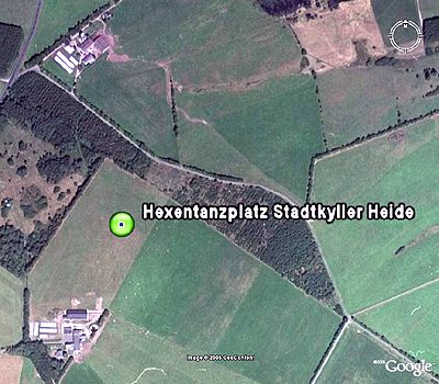
Hexentanzplatz Stadtkyller Heide
 820 m
Chapels
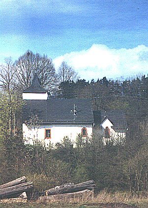
Hubertus-Kapelle
 820 m
Altars
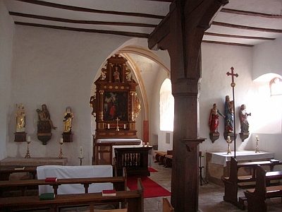
Hubertus-Kapelle - Altar
 820 m
Chapels
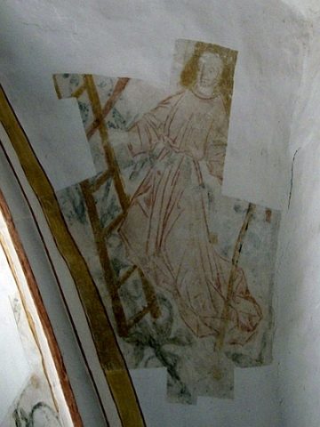
Hubertus-Kapelle - Ausstattung
830 m
Wayside Shrines and Stations of the Cross
Hubertus-Kapelle - Nothelferkreuz
Field Names
Auf Auel
Deserted Settlements